
Fort Benning in Chattahoochee County, Georgia — The American South (South Atlantic)
Indianhead Housing Area
Photographed by Mark Hilton, April 9, 2026
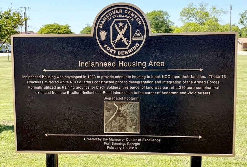
1. Indianhead Housing Area Marker
Indianhead Housing was developed in 1933 to provide adequate housing to black NCOs and their families. These 18 structures mirrored white NCO quarters constructed prior to desegregation and integration of the Armed Forces. Formally utilized as training grounds for black Soldiers, this parcel of land was part of a 310 acre complex that extended from the Bradford-Indianhead Road intersection to the corner of Anderson and Wold streets.
Created by the Maneuver Center of Excellence
Fort Benning, Georgia
February 19, 2016
Erected 2016 by the Maneuver Center of Excellence. (Marker Number 35.)
Topics. This historical marker is listed in this topic list: African Americans. A significant historical year for this entry is 1933.
Location. 32° 21.3′ N, 84° 58.685′ W. Marker is in Fort Benning, Georgia, in Chattahoochee County. It is at the intersection of Indianhead Road and Lavoie Avenue, on the right when traveling south on Indianhead Road. Touch for map. Marker is at or near this postal address: 307 Indianhead Rd, Fort Benning GA 31905, United States of America. Touch for directions.

Regionally, this marker is in the Piedmont
this page online
Other nearby markers. At least 8 other markers are within walking distance of this marker: First Black Paratroopers (approx. 0.3 miles away); 24th Infantry Regiment (colored) (approx. 0.4 miles away); Nadzab Airfield, New Guinea (approx. half a mile away); Oran, Algeria (approx. half a mile away); Clandestine Forces (approx. half a mile away); Sukchon & Sunchon, Korea (approx. half a mile away); Munsan-Ni, Korea (approx. half a mile away); The Infantry Board (approx. half a mile away). Touch for a list and map of all markers in Fort Benning.
More about this marker. Fort Benning is an active U.S. Army installation; entrance is restricted.
Also see . . . Fort Benning Historic Trail Historical Site 35. Indianhead Housing Area.

Photographed by Mark Hilton, April 9, 2026
2. Indianhead Housing Area Marker
Housing can be seen in the background.

Photographed by Mark Hilton, April 9, 2026
3. Indianhead Housing Area Marker
Credits. This page was last revised on April 10, 2026. It was originally submitted on April 10, 2026, by Mark Hilton of Montgomery, Alabama. This page has been viewed 11 times since then. Photos: 1, 2, 3. submitted on April 10, 2026, by Mark Hilton of Montgomery, Alabama.
