Brooksville in Hernando County, Florida — The American South (South Atlantic)
Brooksville Army Airfield Gunnery Backstop
Photographed by Tim Fillmon, April 3, 2026
1. Brooksville Army Airfield Gunnery Backstop Marker, Side One
Side 1
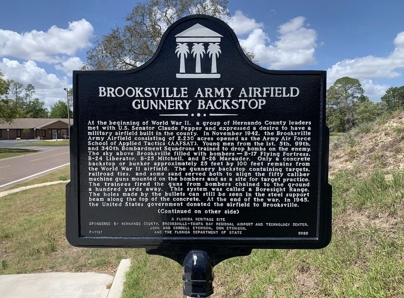
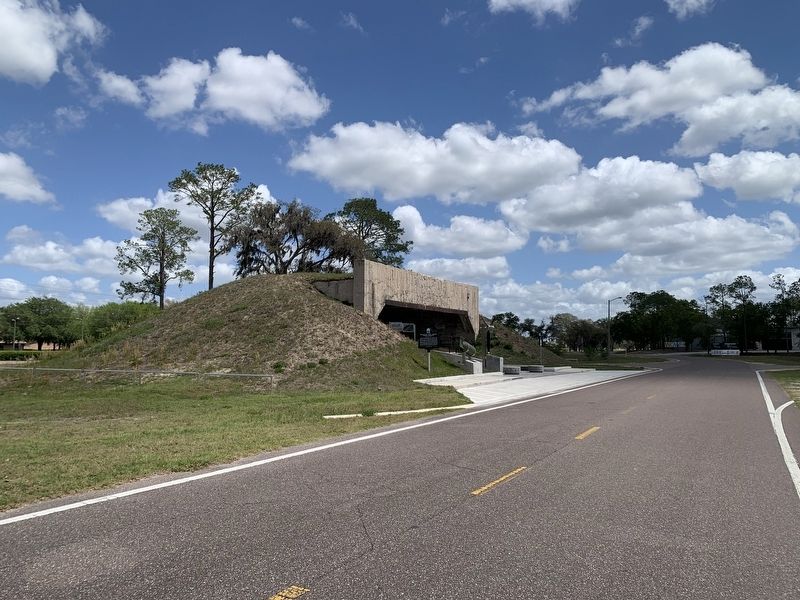
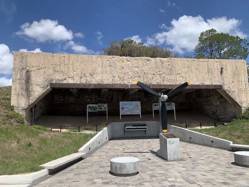
At the beginning of World War II, a group of Hernando County leaders met with U.S. Senator Claude Pepper and expressed a desire to have a military airfield built in the county. In November 1942, the Brooksville Army Airfield consisting of 2,230 acres opened as the Army Air Force School of Applied Tactics (AAFSAT). Young men from the 1st, 5th, 99th, and 340th Bombardment Squadrons trained to drop bombs on the enemy. The sky above Brooksville filled with bombers B-17 Flying Fortress, B-24 Liberator, B-25 Mitchell, and B-26 Marauder. Only a concrete backstop or bunker approximately 25 feet by 100 feet remains from the World War II airfield. The gunnery backstop containing targets, railroad ties, and some sand served both to align the fifty caliber machine guns mounted on the bombers and as a site for target practice. The trainees fired the quns from bombers chained to the ground a hundred yards away. This system was called a Boresight Range. The holes made by the bullets can still be seen in the steel support beam along the top of the concrete. At the end of the war, in 1945, the United States government
this page online
(Continued on other side)
Side 2
(Continued from other side)
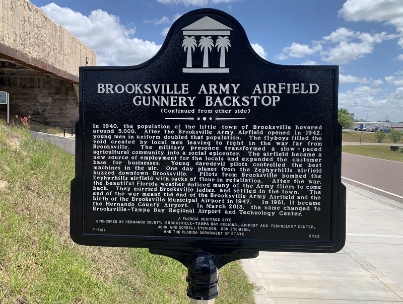
In 1940, the population of the little town of Brooksville hovered around 5,000. After the Brooksville Army Airfield opened in 1942, young men in uniform doubled that population. The flyboys filled the void created by local men leaving to fight in the war far from Brooksville. The military presence transformed a slow paced agricultural community into a social epicenter. The airfield became a new source of employment for the locals and expanded the customer base for businesses. Young daredevil pilots controlled the best machines in the air. One day planes from the Zephyrhills airfield buzzed downtown Brooksville. Pilots from Brooksville bombed the Zephyrhills airfield with sacks of flour in retaliation. After the war, the beautiful Florida weather enticed many of the Army fliers to come back. They married Brooksville ladies, and settled in the town. The end of the war meant the end of the Brooksville Army Airfield and the birth of the Brooksville Municipal Airport in 1947. In 1961, it became the Hernando County Airport. In
Photographed by Tim Fillmon, April 3, 2026
2. Brooksville Army Airfield Gunnery Backstop Marker, Side Two
A Florida Heritage Site
Erected 2022 by Hernando County, Brooksville-Tampa Bay Regional Airport and Technology Center, John and Cordell Etchison, Don Etchison and the Florida Department of State. (Marker Number F-1181.)
Topics. This historical marker is listed in these topic lists: Air & Space • Settlements & Settlers • War, World II. A significant historical month for this entry is November 1942.
Location. 28° 28.819′ N, 82° 28.062′ W. Marker is in Brooksville, Florida, in Hernando County. It is at the intersection of Aviation Loop Drive and Sam Pearson Way, on the right when traveling west on Aviation Loop Drive. Touch for map. Marker is at or near this postal address: 15969 Aviation Loop Drive, Brooksville FL 34604, United States of America. Touch for directions.

Regionally, this marker is on the Gulf Coast and on Tampa Bay. It is also in the American South and on the Gulf Coast. Globally, it is in the North Atlantic Region, North America, a Gulf of Mexico state, the Western Hemisphere, the Western World, and the Anglosphere.
Photographed by Tim Fillmon, April 3, 2026
3. Brooksville Army Airfield Gunnery Backstop Marker
Other nearby markers. At least 8 other markers are within 8 miles of this marker, measured as the crow flies: Garden Grove (approx. 2 miles away); Masaryktown (approx. 2.8 miles away); Loyce Cemetery (approx. 5.6 miles away); St. Anthony the Abbot Church (approx. 6.1 miles away); 1885 Train Depot (approx. 6.9 miles away); Historic Sidewalk (approx. 6.9 miles away); Hernando County Confederate Monument (approx. 7.1 miles away); Hernando County (approx. 7.1 miles away). Touch for a list and map of all markers in Brooksville.
Also see . . .
1. Brooksville Army Airfield. (Submitted on April 11, 2026, by Tim Fillmon of Webster, Florida.)
2. Memorial dedication. (Submitted on April 11, 2026, by Tim Fillmon of Webster, Florida.)
Photographed by Tim Fillmon, April 3, 2026
4. Brooksville Army Airfield Gunnery Backstop
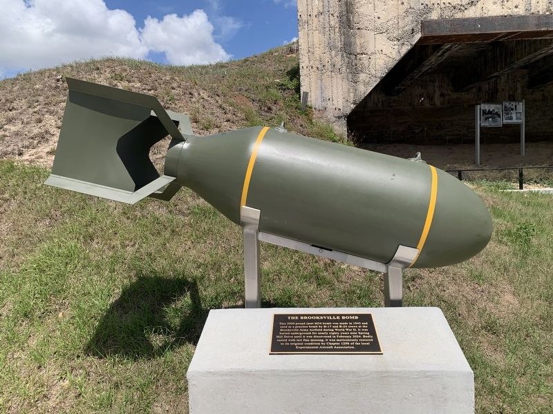
Photographed by Tim Fillmon, April 3, 2026
5. Brooksville Army Airfield Gunnery Backstop

Photographed by Tim Fillmon, April 3, 2026
6. Bomb plaque
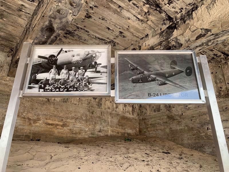
Photographed by Tim Fillmon, April 3, 2026
7. Bombers used at airfield
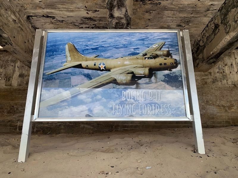
Photographed by Tim Fillmon, April 3, 2026
8. Bombers used at airfield
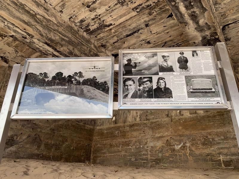
Photographed by Tim Fillmon, April 3, 2026
9. Bombers used at airfield and airmen who lost their life here
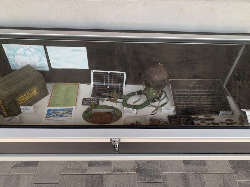
Photographed by Tim Fillmon, April 3, 2026
10. Various era items from airfield

Photographed by Tim Fillmon, April 3, 2026
11. Airmen who lost their lives in 1943 and 1944 at airfield
Credits. This page was last revised on April 12, 2026. It was originally submitted on April 11, 2026, by Tim Fillmon of Webster, Florida. This page has been viewed 58 times since then. Photos: 1, 2, 3, 4, 5, 6, 7, 8, 9, 10, 11. submitted on April 11, 2026, by Tim Fillmon of Webster, Florida.
