Bloomingdale in Northwest Washington in Washington, District of Columbia — The American Northeast (Mid-Atlantic)
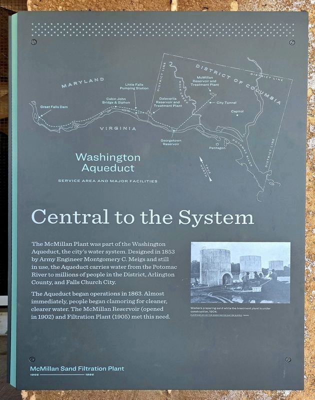
Central to the System
⎯⎯⎯
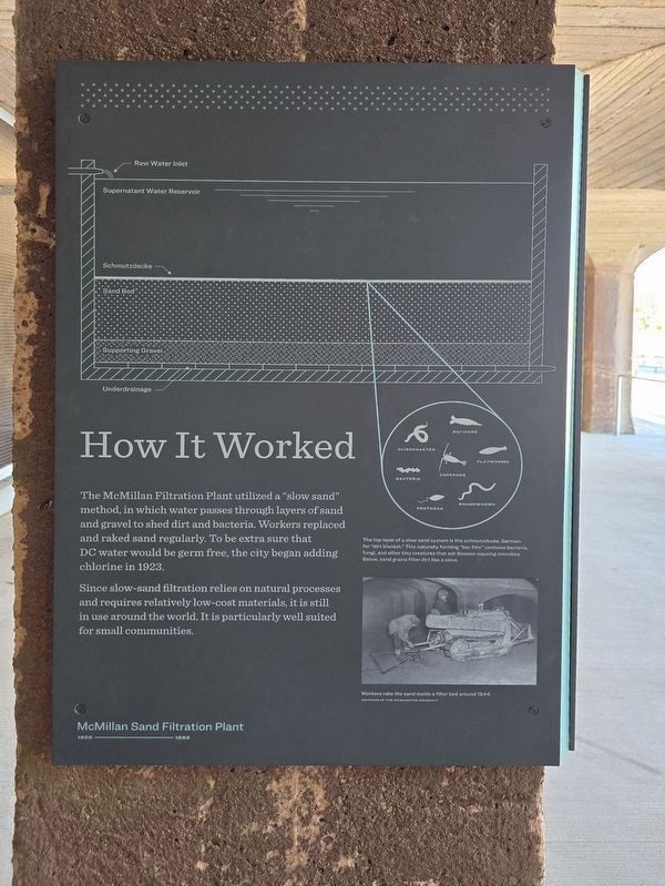
How It Worked
McMillan Sand Filtration Plant
| — | 1905-1986 | — |
Photographed by Shirley A Stirling, April 8, 2026
1. Central to the System side of the marker
Central to the System. The Mcmillan plant was part of the Washington Aqueduct, the city's water system, designed in 1853 by army engineer Montgomery C. Meigs and still in use. The aqueduct carries water from the Potomac river to millions of people in the district, Arlington County, and Falls Church City, the aqueduct began operations in 1863. almost immediately, people began clamoring for cleaner, clearer water. the Mcmillan Reservoir (opened in 1902) and filtration plant (1905) met this need.
How It Worked. The McMillan Filtration Plant utilized a "slow sand" method, in which water passes through layers of sand and gravel to shed dirt and bacteria. Workers replaced and raked sand regularly. To be extra sure that DC water would be germ free, the city began adding chlorine in 1923.
[Captions:]
The top layer of a slow sand system is the schmutzdecke, German for "dirt blanket." This naturally forming "bio-film" contains bacteria, fungi, and other tiny creatures that eat disease-causing microbes below, sand grains filter dirt like a sieve.
Since Slow-sand filtration relies on natural processes and requires relatively low-cost materials, it is still in use around the world. It is particularly well suited for small communities.
Topics.
this page online
Location. 38° 55.369′ N, 77° 0.602′ W. Marker is in Northwest Washington in Washington, District of Columbia. It is in Bloomingdale. It can be reached from North Capitol Street Northwest north of Channing Street Northwest, on the right when traveling south. Touch for map. Marker is at or near this postal address: 10 Lower Service Ct NW, Washington DC 20001, United States of America. Touch for directions.

Regionally, this marker is in the Washington Metropolitan Area. It is also in the American Northeast, in the Upper South, in the Mid-Atlantic, in the Tidewater, and in the Chesapeake Bay Region. Globally, it is in North America, the Western Hemisphere, the Western World, and the Anglosphere.
Other nearby markers. At least 8 other markers are within walking distance of this marker: Filter Bed (here, next to this marker); Sand Washer (about 400 feet away, measured in a direct line); Regulator House (about 500 feet away); Green Space / Sustaining the City (about 500 feet away); Sand Bin (about 500 feet
Photographed by Shirley A Stirling, April 8, 2026
2. How It Worked side of the marker
Photographed by Shirley A Stirling, April 8, 2026
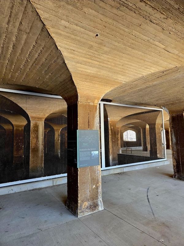
3. Central to the System / How It Worked Marker
Credits. This page was last revised on April 13, 2026. It was originally submitted on April 11, 2026, by Shirley A Stirling of Lacey, Washington. This page has been viewed 21 times since then. Photos: 1, 2, 3. submitted on April 11, 2026, by Shirley A Stirling of Lacey, Washington. • Devry Becker Jones was the editor who published this page.
