Ringwood in Maroondah, Victoria, Australia — Oceania
Ringwood WWI Memorial Clocktower
| — | WWI Armistice Heritage Walk | — |
Photographed by Dean Barton-Ancliffe, April 8, 2026
1. Ringwood WWI Memorial Clocktower Marker
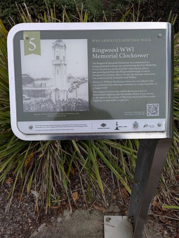
The Ringwood Memorial Clocktower was constructed as a lasting memorial to those who served during the First World War.
It was erected as a result of public subscription plus a 500 pound grant from the Ringwood Borough Council.
Designed by architect Harry Norris, the baroque style tower was constructed by Fairbanks and Walker.
Mayor, Cr William Mackinlay, whose son was killed in the war, performed the opening ceremony on a rainy Saturday on 4 August 1928.
The original location was within the intersection of Maroondah Highway and Warrandyte Road. It was moved in the 1960s to the corner of Wantirna Road and Maroondah Highway, to ease traffic congestion.
(Picture Caption) Opening of Memorial Clocktower by Mayor Mackinlay in 1928 who lost his son is the war
Erected by The Australian Government, Maroondah City Council, Ringwood & District Historical Society and the Ringwood RSL. (Marker Number 5.)
Topics. This memorial is listed in these topic lists: Architecture • War, World I.
Location. 37° 48.891′ S, 145° 13.856′ E.
this page online

Regionally, it is in Oceania, in Australasia, in the Pacific Ocean, in South Pacific, on the Pacific Rim, in the Western World, and in the Anglosphere. Historically, it finds itself in what was once a British colony.
Other nearby markers. At least 8 other markers are within walking distance of this marker: Ringwood's WWI home front (about 90 meters away, measured in a direct line); Ringwood Methodist Church memorial windows (about 90 meters away); Sending off the WWI troops (about 120 meters away); Ringwood Station History (about 180 meters away); Brick Station Building 1889 (about 180 meters away); The Railway was a Catalyst (about 180 meters away); Ringwood Signal Box (about 210 meters away); WWI Recruitment (about 210 meters away). Touch for a list and map of all markers in Ringwood.
Also see . . . Armistice Heritage Walk: Stop 5 - Ringwood WWI Memorial Clocktower.

Photographed by Dean Barton-Ancliffe, April 8, 2026
2. The Ringwood WWI Memorial Clocktower Marker
Credits. This page was last revised on April 14, 2026. It was originally submitted on April 13, 2026, by Dean Barton-Ancliffe of Rowville, Victoria. This page has been viewed 20 times since then. Photos: 1, 2. submitted on April 13, 2026, by Dean Barton-Ancliffe of Rowville, Victoria. • Andrew Ruppenstein was the editor who published this page.
