Yukon in Canadian County, Oklahoma — The American South (West South Central)
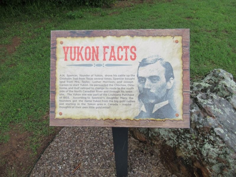
Yukon Facts
Photographed by Jason Armstrong, May 29, 2023
1. Yukon Facts Marker
Topics. This historical marker is listed in this topic list: Settlements & Settlers. A significant historical year for this entry is 1803.
Location. 35° 28.846′ N, 97° 44.872′ W. Marker is in Yukon, Oklahoma, in Canadian County. It is at the intersection of Jim Watson Drive and South Holley Avenue, on the right when traveling north on Jim Watson Drive. Touch for map. Marker is at or near this postal address: 93 Jim Watson Dr, Yukon OK 73099, United States of America. Touch for directions.

Regionally, this marker is in Central Oklahoma—Frontier Country and
this page online
Other nearby markers. At least 8 other markers are within 10 miles of this marker, measured as the crow flies: Yukon Czech Hall (approx. 0.9 miles away); Lake Overholser Dam (approx. 4.7 miles away); Council Grove (approx. 7.3 miles away); The Civilian Conservation Corps and Oklahoma City Will Rogers Park (approx. 9½ miles away); Baum Building Cupola (approx. 10 miles away); Charles Gasham Jones (approx. 10 miles away); Columns from Lee-Huckins Hotel (approx. 10 miles away); Capitol of Oklahoma (approx. 10 miles away).
Another marker is no longer nearby. Ann's Chicken Fry House, Oklahoma City, Oklahoma (was approx. 9 miles away but has been permanently removed).
Photographed by Jason Armstrong, May 29, 2023
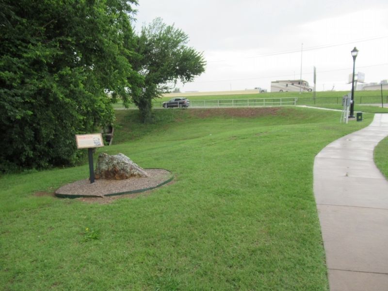
2. Yukon Facts Marker looking south toward Holly Avenue
Photographed by Jason Armstrong, May 29, 2023
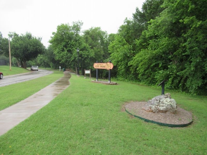
3. Yukon Facts Marker looking North into park
Credits. This page was last revised on April 29, 2026. It was originally submitted on April 13, 2026, by Jason Armstrong of Talihina, Oklahoma. This page has been viewed 26 times since then. Photos: 1, 2, 3. submitted on April 13, 2026, by Jason Armstrong of Talihina, Oklahoma. • James Hulse was the editor who published this page.
