Bakersfield in Kern County, California — The American West (Pacific Coastal)
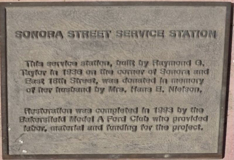
Sonora Street Service Station
Photographed by Denise Boose, April 8, 2026
1. Sonora Street Service Station Marker
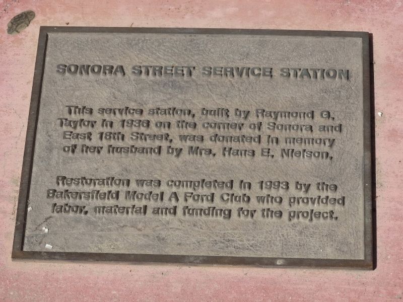
Restoration was completed in 1993 by the Bakersfield Model A Ford Club who provided labor, material and funding for the project.
Topics. This historical marker is listed in this topic list: Industry & Commerce. A significant historical year for this entry is 1936.
Location. 35° 23.628′ N, 119° 1.317′ W. Marker is in Bakersfield, California, in Kern County. It is on Chester Avenue, on the left when traveling north. Touch for map. Marker is at or near this postal address: 3801 Chester Avenue, Bakersfield CA 93301, United States of America. Touch for directions.

Regionally, this marker is in the San Joaquin Valley, specifically in the Central Valley, and in the Sierra Nevada. It is also on the American Pacific Coast. Globally, it is in North America, on the Ring of Fire, on the Pacific Rim, in the Western Hemisphere, in the Western World, and in the Anglosphere. Historically, it finds itself in what was once New Spain and also Mexico’s Alta California.
this page online
Other nearby markers. At least 8 other markers are within walking distance of this marker: Sonora Service Station (within shouting distance of this marker); Hospital (within shouting distance of this marker); Standard End Pumping Unit (within shouting distance of this marker); Cable Tool Drilling Rig (within shouting distance of this marker); Sentry Statues and Gate Posts (within shouting distance of this marker); Dust Bowl Housing Units (about 300 feet away, measured in a direct line); B.H.S. Water Tower (about 300 feet away); Havilah Courier (about 300 feet away). Touch for a list and map of all markers in Bakersfield.
Photographed by Denise Boose, April 8, 2026
2. Sonora Street Service Station Marker
Photographed by Denise Boose, April 8, 2026
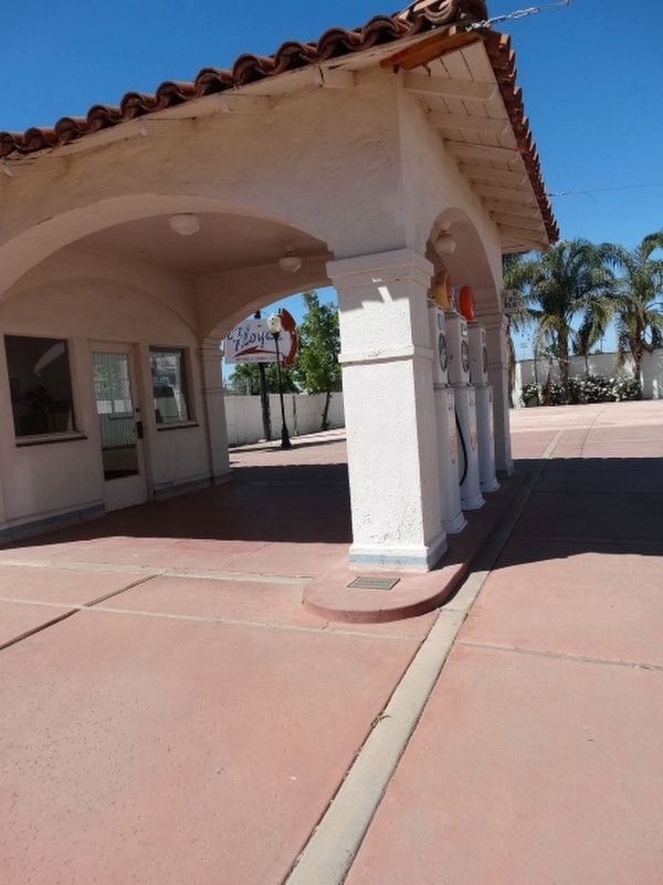
3. Sonora Street Service Station Marker
Photographed by Denise Boose, April 8, 2026
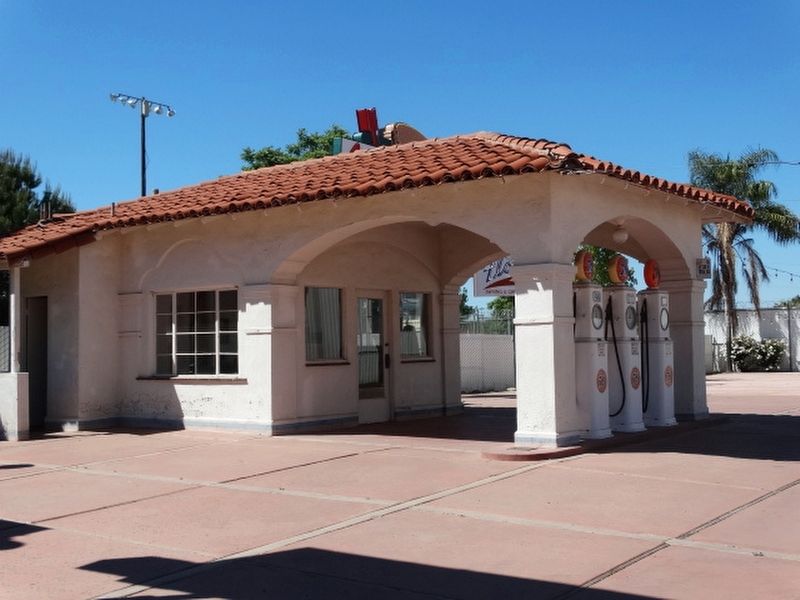
4. Sonora Street Service Station Marker
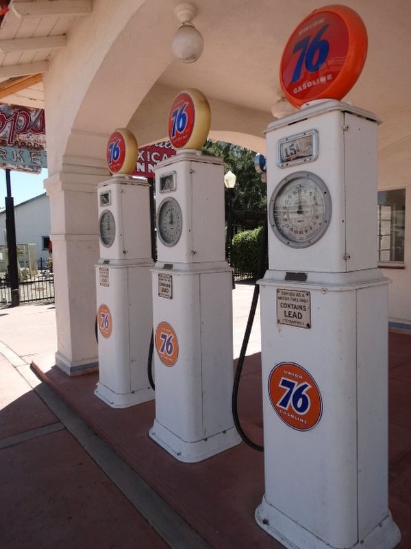
Photographed by Denise Boose, April 8, 2026
5. Sonora Street Service Station Marker
Credits. This page was last revised on April 14, 2026. It was originally submitted on April 13, 2026, by Denise Boose of Tehachapi, California. This page has been viewed 11 times since then. Photos: 1, 2, 3, 4, 5. submitted on April 13, 2026, by Denise Boose of Tehachapi, California. • Andrew Ruppenstein was the editor who published this page.
