
Pettus in Bee County, Texas — The American South (West South Central)
Bee County
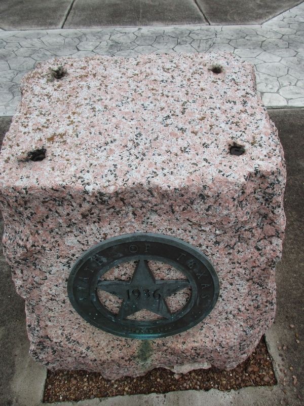
Photographed by Jeff Leichsenring, April 12, 2026
1. Bee County Marker
Named for Col. Barnard E. Bee (1787-1853), who served Republic of Texas as Secretary of War, Secretary of State, and Minister to the United States. County was created by legislative act on Dec. 8, 1857; organized Jan. 25, 1858, from land earlier in Goliad, Karnes, Live Oak, Refugio, and San Patricio counties. County seat in 1858 was on Medio Creek; since 1860 at present Beeville. A cattle region since Spanish times, Bee County became important beef producer in 1865. San Antonio and Aransas Pass Railroad provided first modern transportation in 1886. Oil was discovered here in 1929.
Erected 1936 by The State of Texas. (Marker Number 351.)
Topics and series. This historical marker is listed in this topic list: Settlements & Settlers. In addition, it is included in the Texas 1936 Centennial Markers and Monuments series list. A significant historical date for this entry is January 25, 1858.
Location. Marker is missing. It was located near 28° 37.061′ N, 97° 48.138′ W. Marker was in Pettus, Texas, in Bee County. It was at the intersection of U.S. 181 and Main Street (Farm to Market Road 623), on the right when traveling north on U.S.
this page online

Regionally, this marker was in South Texas. It was also in the American South. Globally, it was in North America, a Gulf of Mexico state, the Western Hemisphere, the Western World, and the Anglosphere. Historically, it found itself in what was once New Spain, the Republic of Texas, and one of the Confederate States of America.
Other nearby markers. At least 8 other markers are within 12 miles of this location, measured as the crow flies: First Christian Church (approx. 0.2 miles away); Town of Pettus (approx. 1.8 miles away); Veterans Memorial (approx. 3.2 miles away); Tuleta (approx. 3.7 miles away); Community of Normanna (approx. 7.1 miles away); Early Trails in Bee County (approx. 9.3 miles away); Reed-McCampbell-Wiess Ranch Complex (approx. 10.2 miles away); Swedish Evangelical Free Church Cemetery (approx. 11.4 miles away). Touch for a list and map of all markers in Pettus.
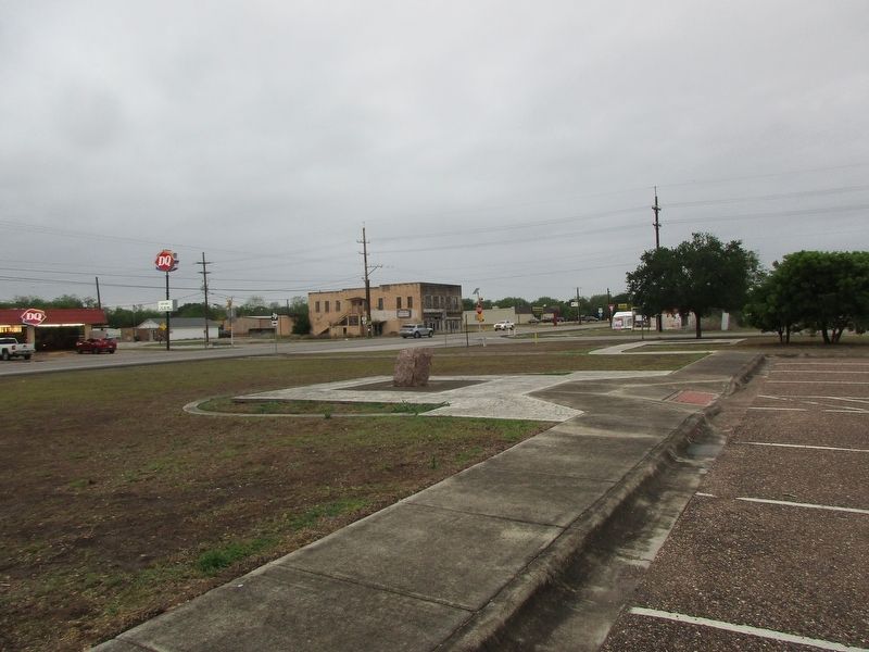
Photographed by Jeff Leichsenring, April 12, 2026
2. Bee County Marker
Credits. This page was last revised on April 15, 2026. It was originally submitted on April 13, 2026, by Jeff Leichsenring of Garland, Texas. This page has been viewed 22 times since then. Photos: 1, 2. submitted on April 13, 2026, by Jeff Leichsenring of Garland, Texas. • James Hulse was the editor who published this page.
Editor’s want-list for this marker. Clear closeup photo of the marker before it was removed • Can you help?
