Downtown in Columbia in Maury County, Tennessee — The American South (East South Central)
The Memorial Building
Photographed by Tom Bosse, April 11, 2026
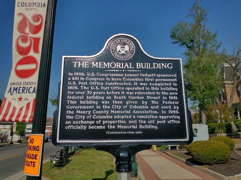
1. The Memorial Building Marker (Side 1)
In 1906, U.S. Congressman Lemuel Padgett sponsored a bill in Congress to have Columbia’s first permanent U.S. Post Office constructed. It was completed in 1909. The U.S. Post Office operated in this building for over 30 years before it was relocated to the new federal building on South Garden Street in 1941. This building was then given by the Federal Government to the City of Columbia and used by the Maury County Memorial Association. In 1949, the City of Columbia adopted a resolution approving an exchange of properties, and the old post office officially became the Memorial Building.
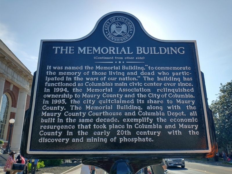
Reverse Side
It was named the Memorial Building, “to commemorate the memory of those living and dead who participated in the wars of our nation.” The building has functioned as Columbia’s main civic center ever since. In 1994, the Memorial Association relinquished ownership to Maury County and the City of Columbia. In 1995, the city quitclaimed its share to Maury County. The Memorial Building, along with the Maury County Courthouse and Columbia Depot, all built in the same decade, exemplify the economic resurgence that took place in
this page online
Erected by City of Columbia Tennessee.
Topics. This historical marker is listed in this topic list: Notable Buildings. A significant historical year for this entry is 1906.
Location. 35° 36.923′ N, 87° 2.295′ W. Marker is in Columbia, Tennessee, in Maury County. It is in Downtown. It is at the intersection of West 7th Street (Tennessee Route 99) and N Frierson Street, on the right when traveling west on West 7th Street. Touch for map. Marker is at or near this postal address: 308 W 7th St, Columbia TN 38401, United States of America. Touch for directions.

Regionally, this marker is in Middle Tennessee and in Greater Nashville. It is also in the American South and specifically in the Upper South. Globally, it is in North America, the Western Hemisphere, the Western World, and the Anglosphere. Historically, it finds itself in what was once the territory of the Mississippian Culture, one of the Confederate States of America, and the Antebellum South.
Other nearby markers. At least 8 other markers are within walking distance
Photographed by Tom Bosse, April 11, 2026
2. The Memorial Building Marker (Side 2)
Photographed by Tom Bosse, April 11, 2026
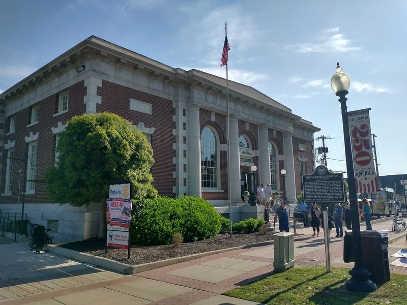
3. The Memorial Building Marker
Photographed by Tom Bosse, April 11, 2026
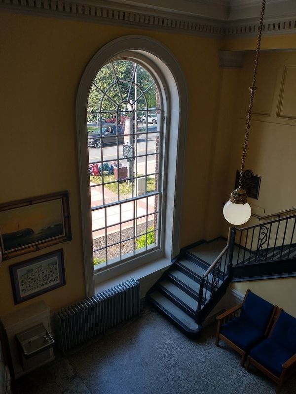
4. The Memorial Building Marker
Marker can be seen from inside the Memorial Building.
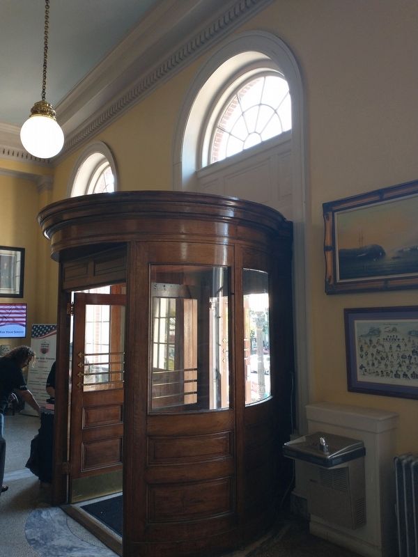
Photographed by Tom Bosse, April 11, 2026
5. The Memorial Building Entrance
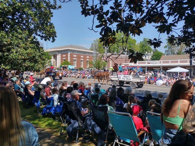
Photographed by Tom Bosse, April 11, 2026
6. The Memorial Building During the Mule Day 2026 Parade.
Credits. This page was last revised on April 16, 2026. It was originally submitted on April 15, 2026, by Tom Bosse of Jefferson City, Tennessee. This page has been viewed 27 times since then. Photos: 1, 2, 3, 4, 5, 6. submitted on April 15, 2026, by Tom Bosse of Jefferson City, Tennessee. • James Hulse was the editor who published this page.
