Bloomingdale in Northwest Washington in Washington, District of Columbia — The American Northeast (Mid-Atlantic)
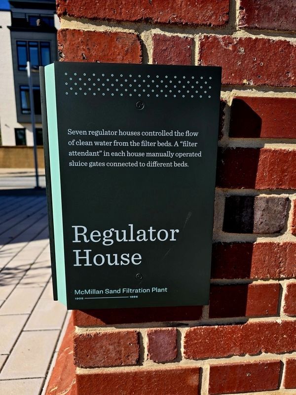
Regulator House
McMillan Sand Filtration Plant
| — | 1905-1986 | — |
Photographed by Shirley A Stirling, April 8, 2026
1. Regulator House Marker
Seven regulator houses controlled the flow of clean water from the filter beds. A "filter attendant" in each house manually operated sluice gates connected to different beds.
Erected 1905.
Topics. This historical marker is listed in these topic lists: Charity & Public Work • Natural Resources. A significant historical year for this entry is 1905.
Location. 38° 55.41′ N, 77° 0.683′ W. Marker is in Northwest Washington in Washington, District of Columbia. It is in Bloomingdale. It is on Lower Service Court east of 1st Street Northwest, on the right when traveling east. Touch for map. Marker is at or near this postal address: 31 Lower Service Court Northwest, Washington DC 20001, United States of America. Touch for directions.

Regionally, this marker is in the Washington Metropolitan Area. It is also in the American Northeast, in the Upper South, in the Mid-Atlantic, in the Tidewater, and in the Chesapeake Bay Region. Globally, it is in North America, the Western Hemisphere, the Western World, and the Anglosphere.
Other nearby markers. At least 8 other markers are within walking distance of this marker:
this page online
Photographed by Shirley A Stirling, April 8, 2026
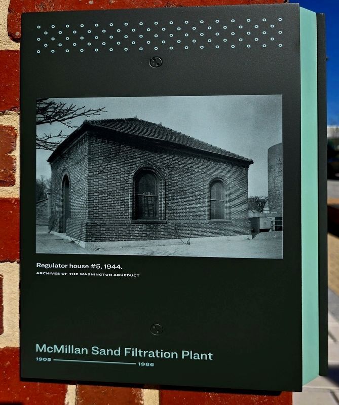
2. Regulatory House #5, 1944.
Archives of the Washington Aqueduct
Photographed by Shirley A Stirling, April 8, 2026
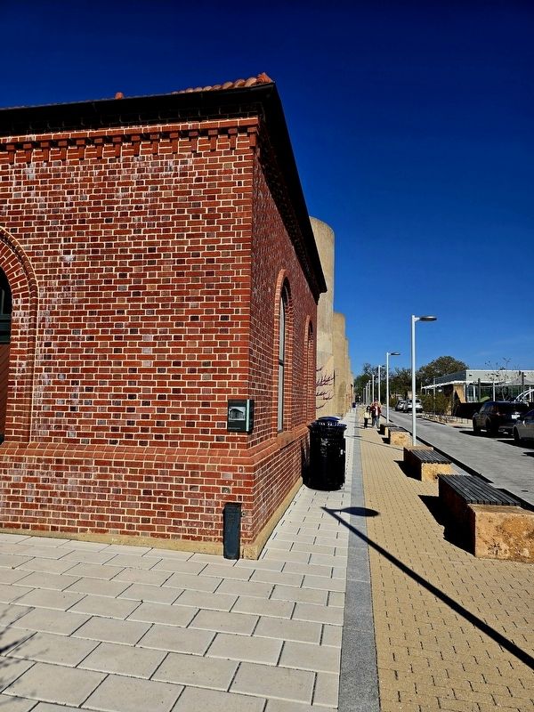
3. Regulatory House Marker
Photographed by Shirley A Stirling, April 8, 2026
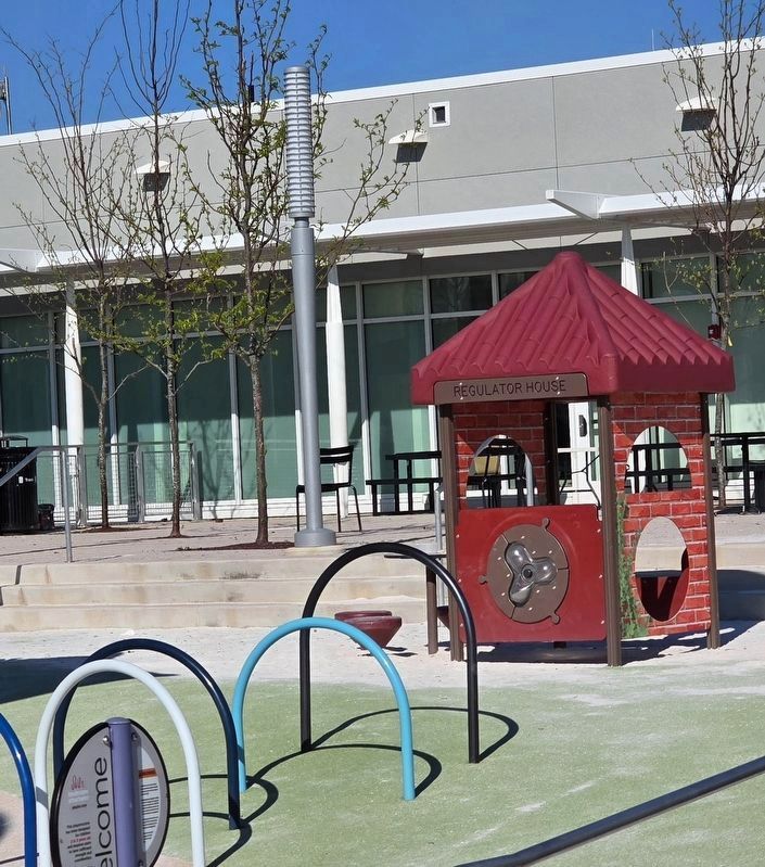
4. Playground Regulator House
The playground on site has a toy regulator house.
Credits. This page was last revised on April 16, 2026. It was originally submitted on April 8, 2026, by Shirley A Stirling of Lacey, Washington. This page has been viewed 30 times since then. Last updated on April 15, 2026, by Shirley A Stirling of Lacey, Washington. Photos: 1. submitted on April 8, 2026, by Shirley A Stirling of Lacey, Washington. 2, 3. submitted on April 9, 2026, by Shirley A Stirling of Lacey, Washington. 4. submitted on April 15, 2026, by Shirley A Stirling of Lacey, Washington. • Devry Becker Jones was the editor who published this page.
