
Near Manchester in Red River County, Texas — The American South (West South Central)
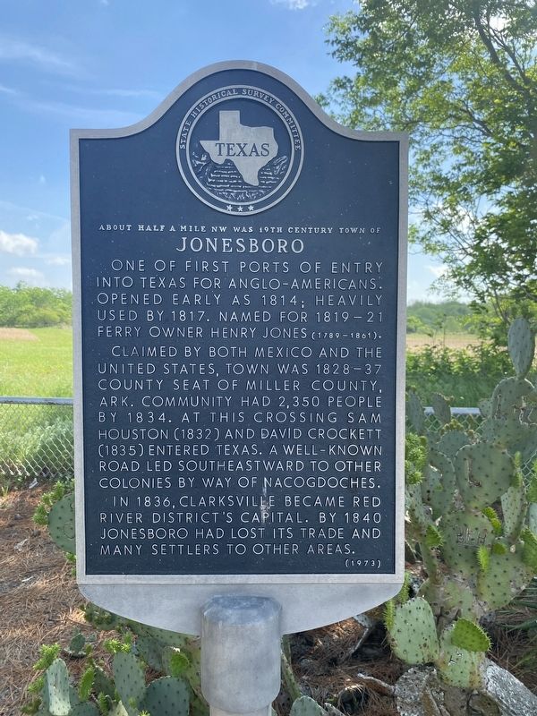
Jonesboro
About half a mile NW was 19th century town of
Photographed by Morgan Petermann, April 17, 2026
1. Jonesboro Marker
One of first ports of entry into Texas for Anglo-Americans. Opened early as 1814; heavily used by 1817. Named for 1819-21 ferry owner Henry Jones (1789-1861). Claimed by both Mexico and the United States, town was 1828-37 county seat of Miller County, Ark. Community had 2,350 people by 1834. At this crossing Sam Houston (1832) and David Crockett (1835) entered Texas. A well-known road led southeastward to other colonies by way of Nacogdoches. In 1836, Clarksville became Red River District's capital. By 1840 Jonesboro had lots its trade and many settlers to other areas.
Erected 1973 by State Historical Survey Committee. (Marker Number 10882.)
Topics. This historical marker is listed in this topic list: Settlements & Settlers. A significant historical year for this entry is 1814.
Location. 33° 55.35′ N, 95° 8.244′ W. Marker is near Manchester, Texas, in Red River County. It is on Farm to Market Road 410 6.7 miles north of Farm to Market Road 195, on the right when traveling north. Touch for map. Marker is at or near this postal address: 26343-26337 FM410, Detroit TX 75436, United States of America. Touch for directions.

Regionally,
this page online
Other nearby markers. At least 8 other markers are within 9 miles of this marker, measured as the crow flies: Near Here at the Old Jonesboro Crossing Sam Houston (here, next to this marker); Jane Chandler Gill (here, next to this marker); Jesse B. Bowman (here, next to this marker); Arnold E. A. Roitsch Archeological Site (approx. 1.9 miles away); Clear Creek Water Mill (approx. 5.9 miles away in Oklahoma); Elliott Academy (approx. 5.9 miles away in Oklahoma); The Choctaw Nation of Oklahoma (approx. 8.3 miles away in Oklahoma); Tuggle Springs Cemetery (approx. 8.9 miles away). Touch for a list and map of all markers in Manchester.
Photographed by Morgan Petermann, April 17, 2026
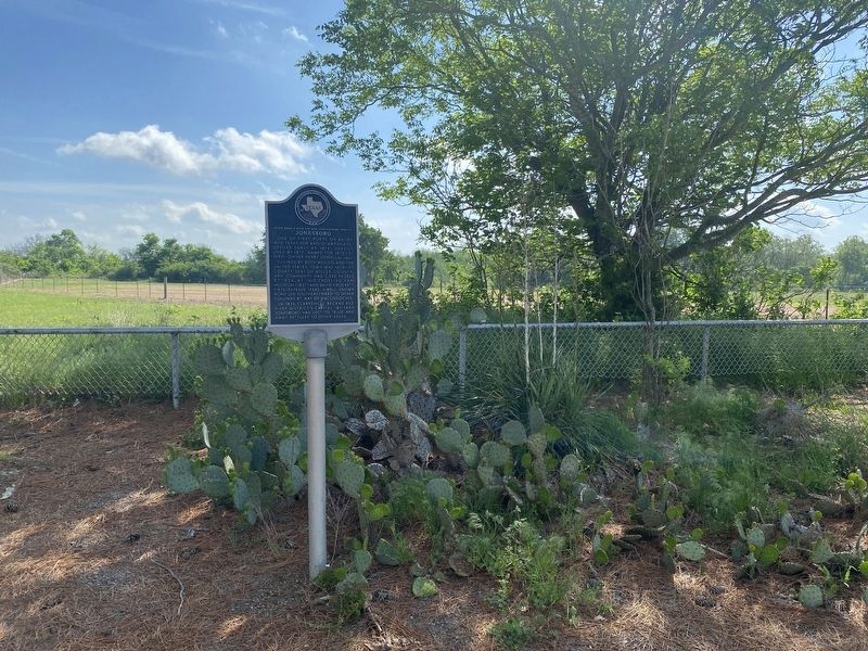
2. Jonesboro Marker
Photographed by Morgan Petermann, April 17, 2026
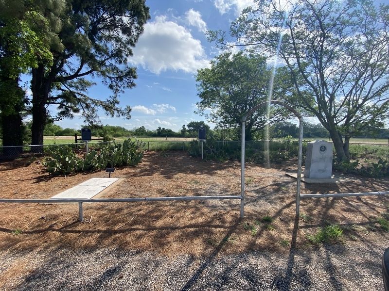
3. Jonesboro Marker
Credits. This page was last revised on April 18, 2026. It was originally submitted on April 18, 2026, by Morgan Petermann of Hurst, Texas. This page has been viewed 39 times since then. Photos: 1, 2, 3. submitted on April 18, 2026, by Morgan Petermann of Hurst, Texas. • James Hulse was the editor who published this page.
