Santa Ysabel in San Diego County, California — The American West (Pacific Coastal)
Angel of the Lost Bells
Photographed by Craig Baker, March 11, 2026
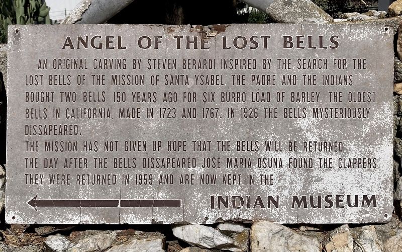
1. Angel of the Lost Bells Marker
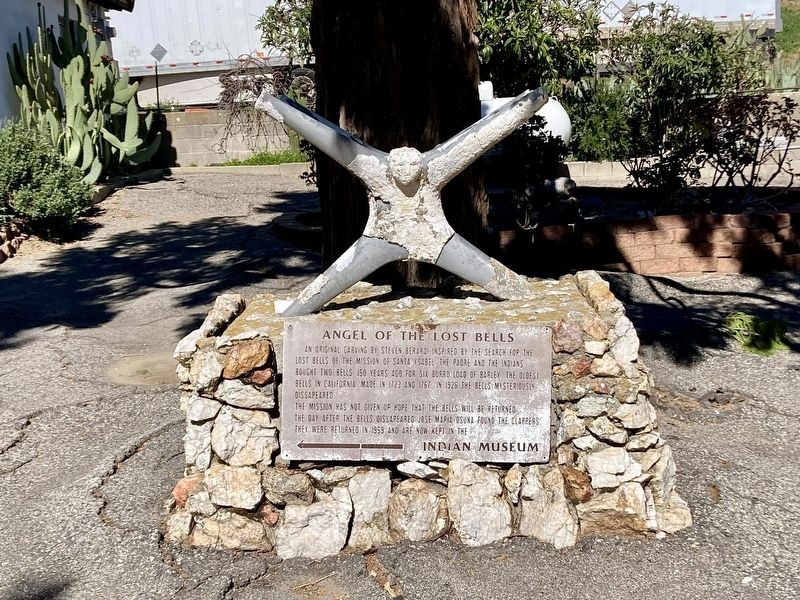
An original carving by Steven Berardi inspired by the search of the bells of the Mission of Santa Ysabel. The padre and the Indians bought two bells 150 years ago for six burro load of barley. The oldest bells in California, made in 1723 and 1767. In 1926 the bells mysteriously disappeared.
The Mission has not given up hope that the bells will be returned. The day after the bells disappeared Jose Maria Osuna found the clappers. They were returned in 1959 and are now kept in the Indian Museum.
Topics and series. This historical marker is listed in this topic list: Religion & Religious Structures. In addition, it is included in the Historic Bells series list. A significant historical year for this entry is 1723.
Location. 33° 7.848′ N, 116° 40.668′ W. Marker is in Santa Ysabel, California, in San Diego County. It can be reached from California 79 1½ miles north of California Route 78. Touch for map. Marker is at or near this postal address: 23013 CA-79, Santa Ysabel CA 92070, United States of America. Touch for directions.

Regionally, this marker is in California’s Peninsular Ranges. It is also in the American
this page online
Other nearby markers. At least 8 other markers are within 6 miles of this marker, measured as the crow flies: Santa Ysabel Asistencia Site (a few steps from this marker); Floor of the Old Mission (about 300 feet away, measured in a direct line); Inaja Forest Fire (approx. 2.3 miles away); Pioneer Cemetery (approx. 5½ miles away); Bailey House (approx. 5.6 miles away); Jacoby Building (approx. 5.7 miles away); Honoring Black Pioneers of Julian (approx. 5.7 miles away); Julian Pioneer Museum (approx. 5.7 miles away). Touch for a list and map of all markers in Santa Ysabel.
Photographed by Craig Baker, March 11, 2026
2. Angel of the Lost Bells Marker
Photographed by Craig Baker, March 11, 2026
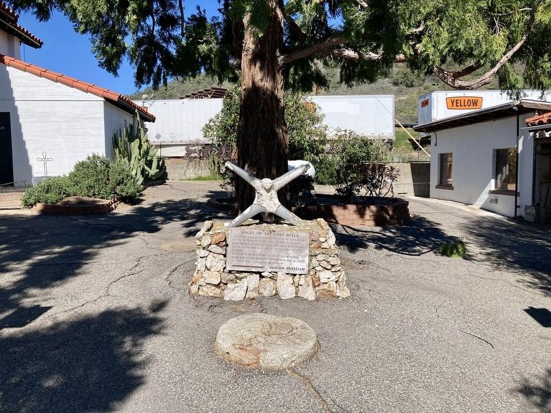
3. Angel of the Lost Bells Marker
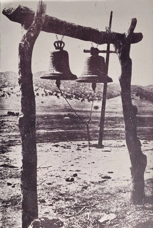
courtesy Indian Museum
4. Mission Bells
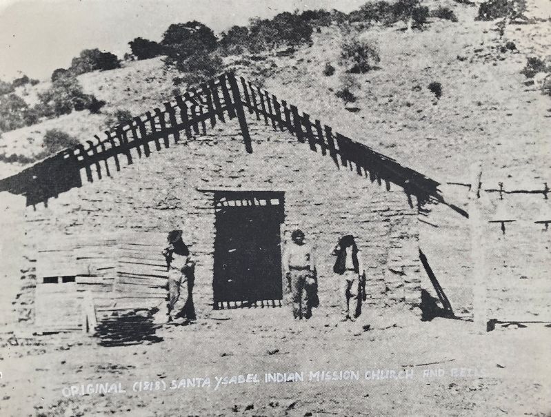
courtesy Indian Museum, circa 1875
5. Original 1818 Mission Church and Bells
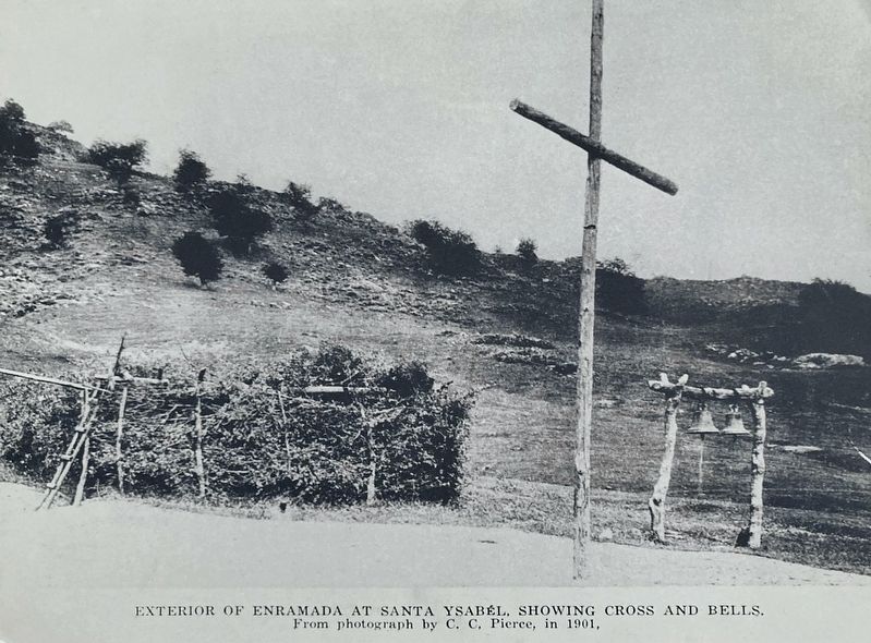
courtesy Indian Museum, circa 1901
6. Arbor, Cross, and Bells - 1901
Credits. This page was last revised on April 29, 2026. It was originally submitted on April 19, 2026, by Craig Baker of Sylmar, California. This page has been viewed 32 times since then. Photos: 1, 2, 3, 4, 5, 6. submitted on April 19, 2026, by Craig Baker of Sylmar, California.
