Ohio City in Cleveland in Cuyahoga County, Ohio — The American Midwest (Great Lakes)
Thomas Holmden
1818 - 1886
Photographed by Craig Doda, March 7, 2026
1. Thomas Holmden Marker
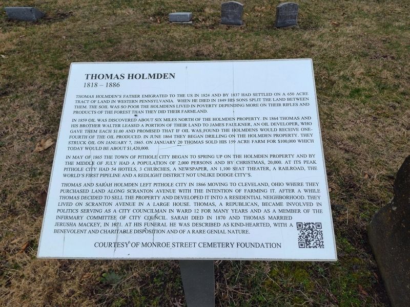
Thomas Holmden's father emigrated to the US in 1824 and by 1837 had settled on a 650 acre tract of land in western Pennsylvania. When he died in 1849 his sons split the land between them. The soil was so poor the Holmdens lived in poverty depending more on their rifles and products of the forest than they did their farmland.
In 1859 oil was discovered about six miles north of the Holmden property. In 1864 Thomas and his brother Walter leased a portion of their land to James Faulkner, an oil developer, who gave them each $1.00 and promised that if oil was found the Holmdens would receive one-fourth of the oil produced. In June 1864 they began drilling on the Holmden property. They struck oil on January 7, 1865. On January 20 Thomas sold his 159 acre farm for $100,000 which today would be about $1,420,000.
In May of 1865 the town of Pithole City began to spring up on the Holmden property and by the middle of July had a population of 2,000 persons and by Christmas, 20,000. At its peak Pithole City had 54 hotels, 3 churches, a newspaper, an 1,100 seat theater, a railroad, the world's first pipeline and a redlight district
this page online
Thomas and Sarah Holmden left Pithole City in 1866 moving to Cleveland, Ohio where they purchased land along Scranton Avenue with the intention of farming it. After a while Thomas decided to sell the property and developed it into a residential neighborhood. They lived on Scranton Avenue in a large house. Thomas, a republican, became involved in politics serving as a city councilman in Ward 12 for many years and as a member of the infirmary committee of city council. Sarah died in 1870 and Thomas married Jerusha Mackey, in 1871. At his funeral he was described as kind-heated, with a benevolent and charitable disposition and of a rare genial nature.
Erected by Monroe Street Cemetery Foundation.
Topics. This historical marker is listed in these topic lists: Government & Politics • Industry & Commerce • Settlements & Settlers. A significant historical date for this entry is January 7, 1865.
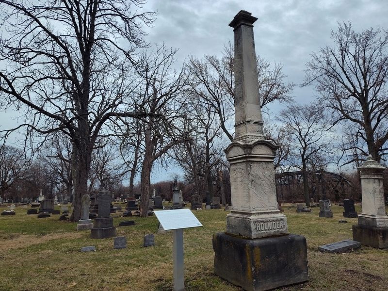
Location. 41° 28.658′ N, 81° 42.35′ W. Marker is in Cleveland, Ohio, in Cuyahoga County. It is in Ohio City. It is at the intersection of Monroe Avenue and West 32nd Street, on the right when traveling east on Monroe Avenue.
Photographed by Craig Doda, March 7, 2026
2. Thomas Holmden Marker

Regionally, this marker is on Ohio’s Lake Erie Shore and in the Western Reserve. It is also in the American Midwest. Globally, it is in North America, on the Great Lakes, in the Western Hemisphere, in the Western World, and in the Anglosphere. Historically, it finds itself in what was once the Haudenosaunee (Iroquois) Confederacy, the territory of the Mississippian Culture, and the Northwest Territory.
Other nearby markers. At least 8 other markers are within walking distance of this marker: Walter M. Prentice (within shouting distance of this marker); Cemetery Symbolism (within shouting distance of this marker); Irvine U. Masters (within shouting distance of this marker); Geology In The Cemetery (about 300 feet away, measured in a direct line); The GAR Monument (about 300 feet away); Elias Sims (about 300 feet away); In memoriam (about 300 feet away); Grand Army of the Republic Civil War Memorial (about 300 feet away). Touch for a list and map of all markers in Cleveland.
Credits. This page was last revised on April 21, 2026. It was originally submitted on April 20, 2026, by Craig Doda of Napoleon, Ohio. This page has been viewed 12 times since then. Photos: 1, 2. submitted on April 20, 2026, by Craig Doda of Napoleon, Ohio. • Devry Becker Jones was the editor who published this page.
