Endicott in Broome County, New York — The American Northeast (Mid-Atlantic)
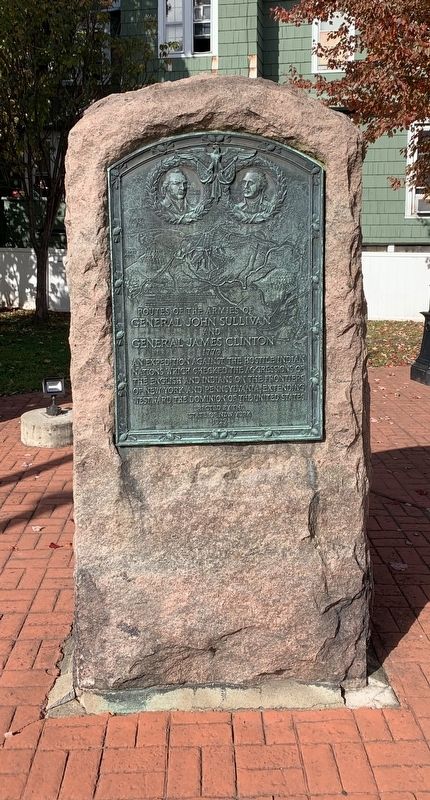
Routes of the Armies
of General John Sullivan and General James Clinton
| — | 1779 | — |
Photographed by Steve Stoessel, October 26, 2019
1. Routes of the Armies Marker
An expedition against the hostile Indian nations which checked the aggressions of English and Indians on the frontiers of New York and Pennsylvania, extending westward the dominion of the United States.
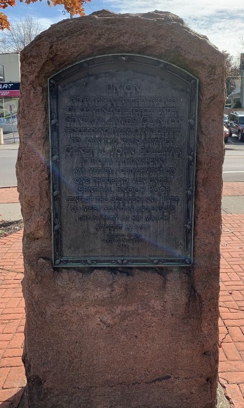
Union near this point the brigade of Continental forces under General James Clinton proceeding from Canajoharie to join the main army of General John Sullivan at Tioga (Athens, Penn) was met by a detachment of one thousand men under General Enoch Poor sent up the Susquehanna River to meet Clinton and ensure the safety of his march August 1779.
Erected 1929 by State of New York.
Topics and series. This historical marker is listed in this topic list: War, US Revolutionary. In addition, it is included in the The Sullivan-Clinton Expedition Against the Iroquois Indians series list. A significant historical date for this entry is August 19, 1492.
Location. 42° 5.715′ N, 76° 4.038′ W. Marker is in Endicott, New York, in Broome County. It is at the intersection of West Main Street (Route 17C) and Badger Avenue, on the right when traveling west on West Main Street. Marker in in the Union District. Touch for map. Marker is at or near this postal address: 201 W Main St, Endicott NY 13760, United States of America. Touch for directions.

Regionally, this marker is in Upstate New York and in the Southern Tier. It is also in the American Northeast, in the Mid-Atlantic, in Appalachia, and specifically in Northern Appalachia. Globally, it is in North America, the Western Hemisphere, the Western World, and the Anglosphere. Historically, it finds itself in what was once New Netherland and also one of the original Thirteen Colonies.
Other nearby markers. At least 8 other markers are within walking distance of this marker: The Brick Store (within shouting distance of this marker); Revolutionary War Memorial (approx.
this page online
Photographed by Steve Stoessel, October 26, 2019
2. Rear Face of Marker
Photographed by Steve Stoessel
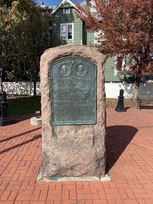
3. Routes of the Armies Park
Credits. This page was last revised on April 21, 2026. It was originally submitted on October 28, 2019, by Steve Stoessel of Niskayuna, New York. This page has been viewed 1,164 times since then and 70 times this year. Last updated on April 20, 2026, by Susan A. Dalaba of Cortland, New York. Photos: 1, 2, 3. submitted on October 28, 2019, by Steve Stoessel of Niskayuna, New York. • Devry Becker Jones was the editor who published this page.
