
Wright-Patterson Air Force Base in Greene County, Ohio — The American Midwest (Great Lakes)
Wright Field
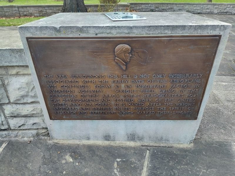
Photographed by Craig Doda, March 23, 2026
1. Wright Field Marker
Topics. This historical marker is listed in these topic lists: Air & Space • Military.
Location. 39° 47.675′ N, 84° 5.331′ W. Marker is in Wright-Patterson Air Force Base, Ohio, in Greene County. It is at the intersection of Memorial Road and Kauffman Road, on the right when traveling north on Memorial Road. Touch for map. Marker is at or near this postal address: 2380 Memorial Rd, Fairborn OH 45324, United States of America. Touch for directions.

Regionally, this marker is in Ohio’s Dayton Metro and in the Miami Valley. It is also in the American Midwest and in the Corn Belt. Globally, it is in North America, the Western
this page online
Other nearby markers. At least 8 other markers are within walking distance of this marker: Mound Builders Era (a few steps from this marker); Wilbur and Orville Wright (a few steps from this marker); Pioneer Flyers (within shouting distance of this marker); Original Hangar (within shouting distance of this marker); Final Honors (within shouting distance of this marker); Cow Pasture to Flight School (about 300 feet away, measured in a direct line); Biplanes to Rocket Science (about 300 feet away); In Case of Floods … (about 300 feet away). Touch for a list and map of all markers in Wright-Patterson Air Force Base.
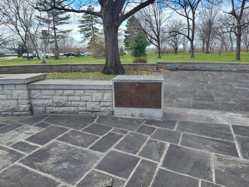
Photographed by Craig Doda, March 23, 2026
2. Wright Field Marker
Credits. This page was last revised on April 22, 2026. It was originally submitted on April 21, 2026, by Craig Doda of Napoleon, Ohio. This page has been viewed 12 times since then. Photos: 1, 2. submitted on April 21, 2026, by Craig Doda of Napoleon, Ohio. • Devry Becker Jones was the editor who published this page.
