Ryan near Death Valley National Park in Inyo County, California — The American West (Pacific Coastal)
Ryan Historic District
courtesy Death Valley Conservancy
1. Ryan Historic District Marker
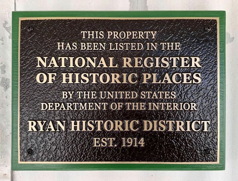
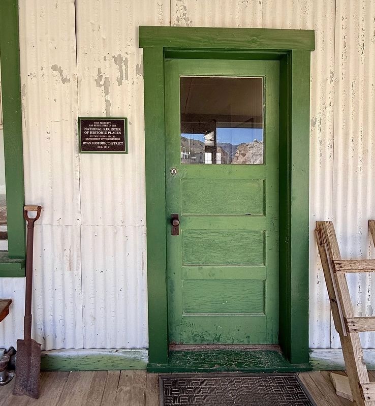
This property has been listed in the National Register of Historic Places by the United States Department of the Interior.
Ryan Historic District, est. 1914
Erected 2026.
Topics and series. This historical marker is listed in these topic lists: Industry & Commerce • Natural Resources. In addition, it is included in the National Register of Historic Places (NRHP) series list. A significant historical year for this entry is 1914.
Location. 36° 19.321′ N, 116° 40.308′ W. Marker is near Death Valley National Park, California, in Inyo County. It is in Ryan. It can be reached from Ryan Road east of Dantes View Road. Ryan is not open to the public except during occasional guided tours. Touch for map. Marker is at or near this postal address: 100 Ryan Rd, Death Valley CA 92328, United States of America. Touch for directions.

Regionally, this marker is in the Sierra Nevada. It is also in the American Mountain West. Globally, it is in North America, on the Ring of Fire, on the Pacific Rim, in the Western Hemisphere, in the Western World, and in the Anglosphere. Historically, it finds itself in what was once New Spain and also Mexico’s Alta California.
Other nearby markers. At least 8 other markers are within 14 miles of this marker, measured as the crow flies: Badwater Pool (approx. 8.3 miles away);
this page online
Another marker is no longer nearby. Devils Golf Course (was approx. 9 miles away).
More about this marker. Ryan is not open to the public except during occasional guided tours by the Death Valley Conservancy. See their website for more information.
Regarding Ryan Historic District. On January 27, 2025, the Ryan Historic District was added to the National Register of Historic Places. The Ryan Historic District is composed of Ryan (sometimes called Ryan Camp), the Upper and Lower Biddy mine complexes, the remains of the Death Valley Railroad, the remains of the Baby Gauge Railroad, a network of trails and roads, and numerous intact archaeological deposits.
The district was deemed significant under National Register Criterion A for its association with the early twentieth-century Death Valley borax mining industry, the burgeoning Death Valley tourism business, 1950s location filming, and the Cold War-era
courtesy Death Valley Conservancy
2. Ryan Historic District Marker
Also see . . . Death Valley Conservancy. Ryan history, photos, news, tours, and NRHP nomination. (Submitted on April 21, 2026.)
courtesy Death Valley Conservancy
3. Ryan
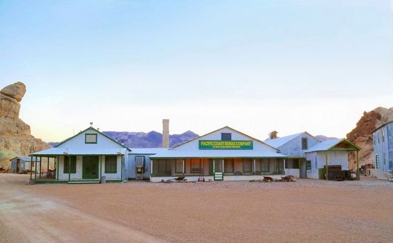
The general store, lobby, and kitchen. The marker is at the center of this photo, near the lobby.
courtesy Death Valley Conservancy
4. Ryan Bunkhouses
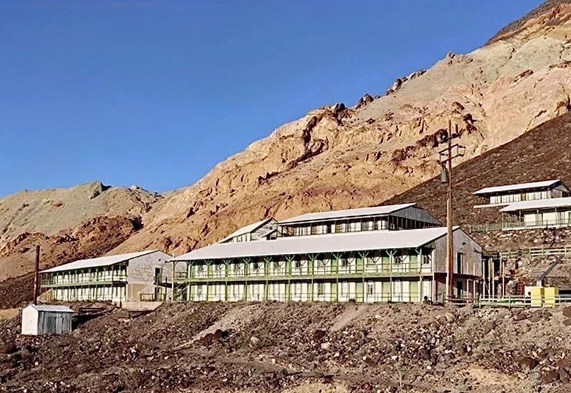
These two bunkhouses offered living quarters for Ryan's miners. Constructed in 1920, each contained forty-four double rooms. During the conversion of the camp to the Death Valley View Hotel in 1927-1928, the bunkhouses became "Guesthouses".
courtesy Death Valley Conservancy
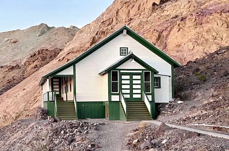
5. Rec Hall/Church
Originally the St. Mary's Catholic Church in Rhyolite, NV. It was moved to this location in 1919 and two additions, a stage and a side porch, were constructed. The Rec Hall served as a community center for the people of Ryan.
courtesy Death Valley Conservancy
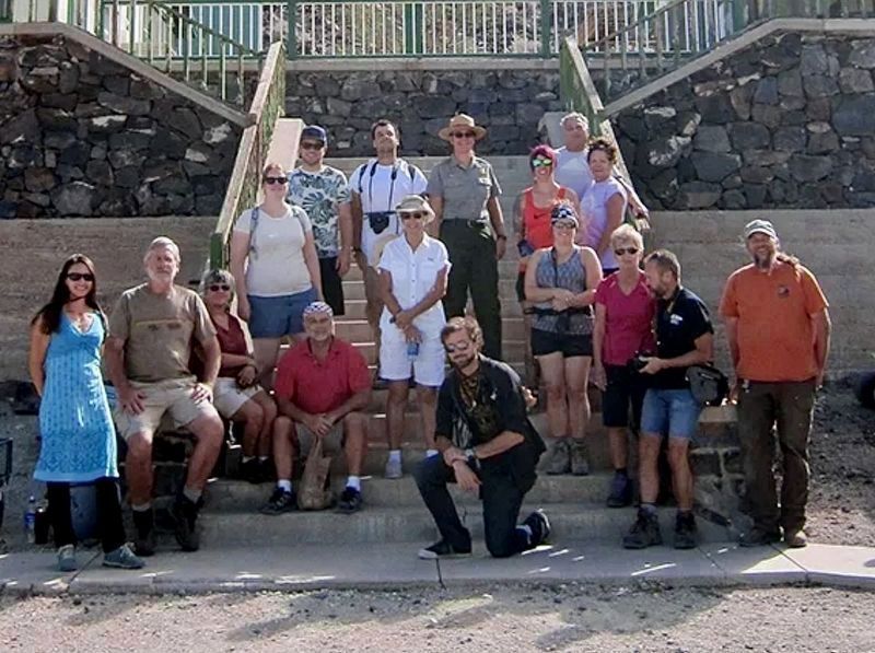
6. Tour Group at Ryan — October 2017
I am second from the left, -CB.
Credits. This page was last revised on October 13, 2026. It was originally submitted on April 21, 2026, by Craig Baker of Sylmar, California. This page has been viewed 108 times since then. Last updated on April 22, 2026, by Jessica Smith of Death Valley, California. Photos: 1, 2, 3, 4, 5, 6. submitted on April 21, 2026, by Craig Baker of Sylmar, California. • Devry Becker Jones was the editor who published this page.
