Manorville in Armstrong County, Pennsylvania — The American Northeast (Mid-Atlantic)
Manorville
Leechburg-13

Photographed by Mike Wintermantel, May 21, 2017
1. Manorville Marker
Founded
1854
Topics. This historical marker is listed in this topic list: Notable Places. A significant historical year for this entry is 1854.
Location. 40° 47.598′ N, 79° 31.044′ W. Marker is in Manorville, Pennsylvania, in Armstrong County. It is on Hill Street south of Water Street. Touch for map. Marker is in this post office area: Manorville PA 16238, United States of America. Touch for directions.

Regionally, this marker is in Greater Pittsburgh. It is also in the American Northeast, in the Mid-Atlantic, in Appalachia, and specifically in Northern Appalachia. Globally, it is in North America, the Western Hemisphere, the Western World, and the Anglosphere. Historically, it finds itself in what was once the Haudenosaunee (Iroquois) Confederacy and also one of the original Thirteen Colonies.
Other nearby markers. At least 8 other markers are within 2 miles of this marker, measured as the crow flies: Fort Armstrong (approx. 0.7 miles away); Kittanning (approx. 1.1 miles away); a different marker also named Kittanning (approx. 1.3 miles away); Community Profile: Kittanning
this page online
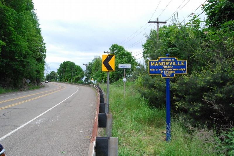
Photographed by Mike Wintermantel, May 21, 2017
2. Manorville Marker
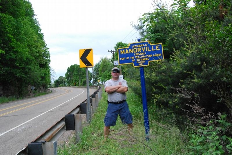
Photographed by Mike Wintermantel, May 21, 2017
3. Manorville Marker
Shortly after reinstallation by Keystone Board Member Mike Wintermantel.
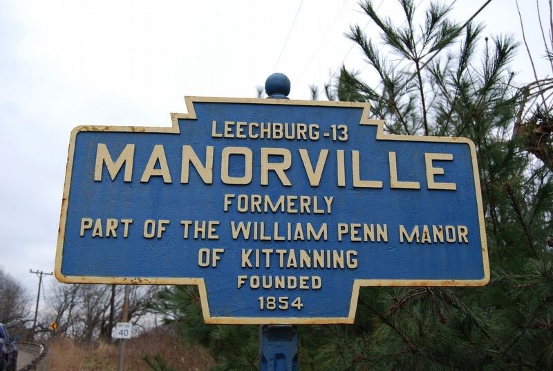
Photographed by Mike Wintermantel, December 28, 2016
4. Manorville Marker
Before repainting.
Credits. This page was last revised on April 23, 2026. It was originally submitted on April 23, 2026, by Mike Wintermantel of Pittsburgh, Pennsylvania. This page has been viewed 11 times since then. Photos: 1, 2, 3, 4. submitted on April 23, 2026, by Mike Wintermantel of Pittsburgh, Pennsylvania.
