Near East Side in Columbus in Franklin County, Ohio — The American Midwest (Great Lakes)
Founding of the State of Israel

Photographed by Craig Doda, April 17, 2026
1. Founding of the State of Israel Marker
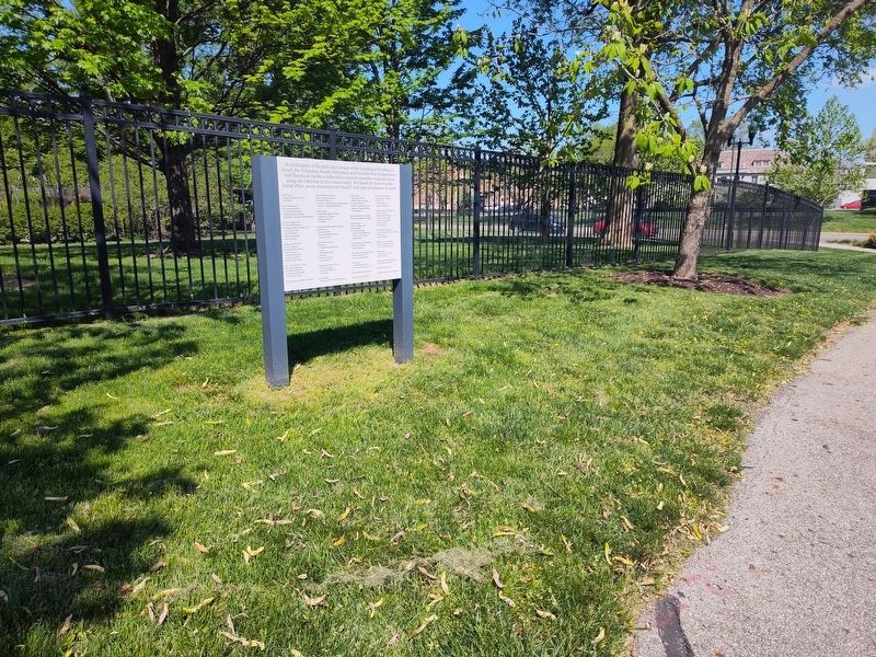
In celebration of the 50th Anniversary of the founding of the State of Israel, the Columbus Jewish Federation and Franklin Park Conservatory and Botanical Gardens dedicated a stand of cucumber magnolia trees along the entryway to the Conservatory. We thank the donors to this initial effort, as we commemorate Israel's 70th year of existence in 2018.
Topics. This historical marker is listed in these topic lists: Government & Politics • Religion & Religious Structures • Settlements & Settlers. A significant historical year for this entry is 2018.
Location. 39° 58.015′ N, 82° 57.156′ W. Marker is in Columbus, Ohio, in Franklin County. It is in the Near East Side. It is at the intersection of Monypenny Avenue and Conservatory Drive, on the right when traveling south on Monypenny Avenue. The marker stands on the grounds of Franklin Park. Touch for map. Marker is in this post office area: Columbus OH 43205, United States of America. Touch for directions.

Regionally, this marker is in the Scioto Valley. It is also in the American Midwest and in the Corn Belt. Globally, it is in North America, the Western Hemisphere,
this page online
Other nearby markers. At least 8 other markers are within walking distance of this marker: Asians in the American Civil War (approx. 0.2 miles away); Allen Russell Mann (approx. ¼ mile away); War! – “It Is All Hell” (approx. ¼ mile away); The Transformation of Franklin Park (approx. 0.3 miles away); White Oak (approx. 0.3 miles away); Ohio Baptist General Association Headquarters (approx. 0.4 miles away); Martin Luther King Jr. Library / Architect Leon Ransom Jr. (1921 - 1971) (approx. half a mile away); The Jeffrey Mansion & Park (approx. 0.7 miles away). Touch for a list and map of all markers in Columbus.
Photographed by Craig Doda, April 17, 2026
2. Founding of the State of Israel Marker
Credits. This page was last revised on April 27, 2026. It was originally submitted on April 24, 2026, by Craig Doda of Napoleon, Ohio. This page has been viewed 15 times since then. Photos: 1, 2. submitted on April 24, 2026, by Craig Doda of Napoleon, Ohio. • Devry Becker Jones was the editor who published this page.
