Berliner Innenstadt in Mitte, Germany — Northeast German Plain (The European Plain)
Elementweise
⎯⎯⎯
Prefabricated Construction
Photographed by James Hulse, March 7, 2026
1. Elementweise / Prefabricated Construction

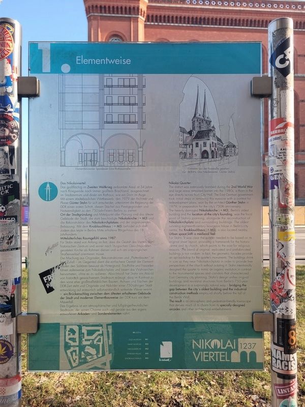
Das Nikolaiviertel:
Das großflächig im Zweiten Weltkrieg zerbombte Areal ist 34 Jahre nach Kriegsende noch immer großteils Brachland, ausgerechnet im Stadtzentrum und direkt am Rathaus – wie ein Dorn im Auge. Mit einem städtebaulichen Wettbewerb, den 1979 der Architekt und Planer Günter Stahn für sich entscheidet, unternimmt die Regierung der DDR einen ersten Schritt, diesen Stachel aus Prestigegründen und Notwendigkeit zu den 750-Jahr-Feiern Berlins zu ziehen. Ort der Stadtgründung und Mittelpunkt aller Planung sind das älteste Gebäude der Stadt, die stark beschädigte Nikolaikirche (→ M3), und die Rekonstruktion des Nikolaikirchplatzes und der angrenzenden Bebauung. Mit dem Knoblauchhaus (→ M5) befindet sich dort zudem das letzte in Berlins Mitte erhaltene Bürgerhaus des 18. Jahrhunderts.
Mittelalterliches Raumgefühl anno 1987:
Für Stahn stand von Anfang an fest, dass die Gestalt des Viertels dem historischen Zentrum und seiner nach liturgischen Gesichtspunkten geosteten Kirche als Rahmen dienen und sich am ursprünglichen Straßenverlauf orientieren müsse. Die Mischung aus Originalen,
this page online
Das Ergebnis ist ein atmosphärischer und fußgängerfreundlicher Stadtraum, der seinen Charme auch und gerade aus den eigens entworfenen Arkaden- und Sonderelementen nährt.
Elementbauweise Spandauer Ecke Rathausstraße
Elemente aus der Poststraße gesehen (Q.: BERLIN, Das Nikolaiviertel, Günter Stahn)
The Nikolai Quarter:
The district was extensively bombed during the 2nd World War and large areas remained
Photographed by James Hulse, March 7, 2026
2. Elementweise / Prefabricated Construction Marker
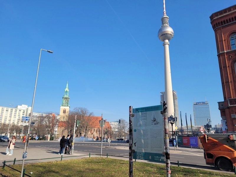
The view of the markers along the street with the Berlin TV Tower in the background.
Urban space with a medieval feel:
For Stahn, it was clear the quarter needed to be based on its original street layout, providing a framework for the historic centre and its church, which points to the east for religious reasons. The blend of original, replicated and prefabricated buildings is not random: in fact, the geometric facades provide an apt backdrop for the quarter's monuments. The buildings shrink in size as they near Nikolaikirchplatz in order to provide free perspectives of the
Photographed by James Hulse, March 7, 2026
3. Elementweise / Prefabricated Construction Marker
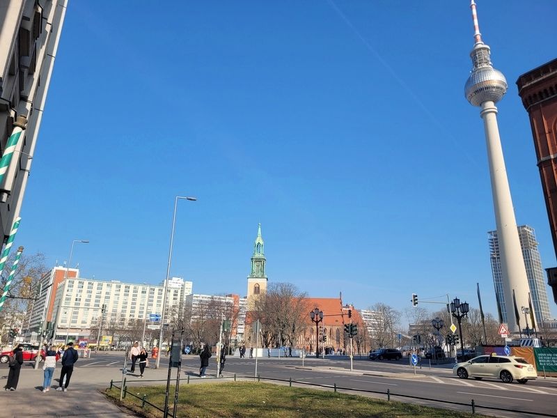
The view of the marker at the corner of the intersection.
Prefabricated construction at the Spandauer corner, Rathausstraße
Elements as seen from Poststraße (source: BERLIN, The Nikolai Quarter, Günter Stahn)
Erected by Nikolai Viertel 1237. (Marker Number 1.)
Topics. This historical marker is listed in these topic lists: Architecture • Industry & Commerce • Religion & Religious Structures. A significant historical year for this entry is 1979.
Location. 52° 31.087′ N, 13° 24.433′ E. Marker is in Berlin, in Mitte. It is in Berliner Innenstadt. It is at the intersection of Spandauer Straße and Rathausstraße, on the right when traveling south on Spandauer Straße. Touch for map. Marker is at or near this postal address: Spandauer Straße 17, Berlin 10178, Germany. Touch for directions.

Regionally, it is in Europe, the European Union, Atlantic Europe, Central Europe, the Schengen Area, Western Europe, and the Western World. Historically, it finds itself in what was once the Holy Roman Empire, the former East Germany, and at the Berlin Wall.
Other nearby markers. At least 8 other markers are within walking distance of this marker: Das Kaufhaus Israel, ein Opfer der Nazis / The Israel Department Store, a Victim of the Nazis (within shouting distance of this marker); Rotes Rathaus / Red Town Hall (about 90 meters away, measured in a direct line); Martin Heinrich Klaproth (about 90 meters away); Gewiss und ungerecht / Certain and Unjust (about 90 meters away); Zum Nußbaum (about 90 meters away); Berliner Originale / Berlin Originals (about 120 meters away); Zeittafel der Berliner Geschichte / Timeline of Berlin History (about 120 meters away); Berlins Weg durch die Geschichte / Berlin’s Path Through History (about 120 meters away). Touch for a list and map of all markers in Berlin.
Credits. This page was last revised on April 25, 2026. It was originally submitted on April 25, 2026, by James Hulse of Medina, Texas. This page has been viewed 12 times since then. Photos: 1, 2, 3. submitted on April 25, 2026, by James Hulse of Medina, Texas.
