King-Lincoln Bronzeville in Columbus in Franklin County, Ohio — The American Midwest (Great Lakes)
Historic Near East Side

Photographed by Craig Doda, April 17, 2026
1. Historic Near East Side Marker
Topics. This historical marker is listed in these topic lists: African Americans • Entertainment • Industry & Commerce • Settlements & Settlers.
Location. 39° 58.112′ N, 82° 58.935′ W. Marker is in Columbus, Ohio, in Franklin County. It is in King-Lincoln Bronzeville. It is at the intersection of Hamilton Avenue and East Spring Street, on the right when traveling south on Hamilton Avenue. Touch for map. Marker is at or near this postal address: 199 Hamilton Ave, Columbus OH 43203, United States of America. Touch for directions.

Regionally, this marker is in the Scioto Valley. It is also in the
this page online
Other nearby markers. At least 8 other markers are within walking distance of this marker: Helen Carter (a few steps from this marker); Spring Street Bridge (about 300 feet away, measured in a direct line); The Lincoln Theatre (about 600 feet away); Long Street Bridge and Cultural Wall (about 700 feet away); Shiloh Baptist Church (about 800 feet away); King Lincoln District Arch (approx. 0.2 miles away); St. Paul African Methodist Episcopal Church (approx. 0.2 miles away); James Thurber (approx. ¼ mile away). Touch for a list and map of all markers in Columbus.
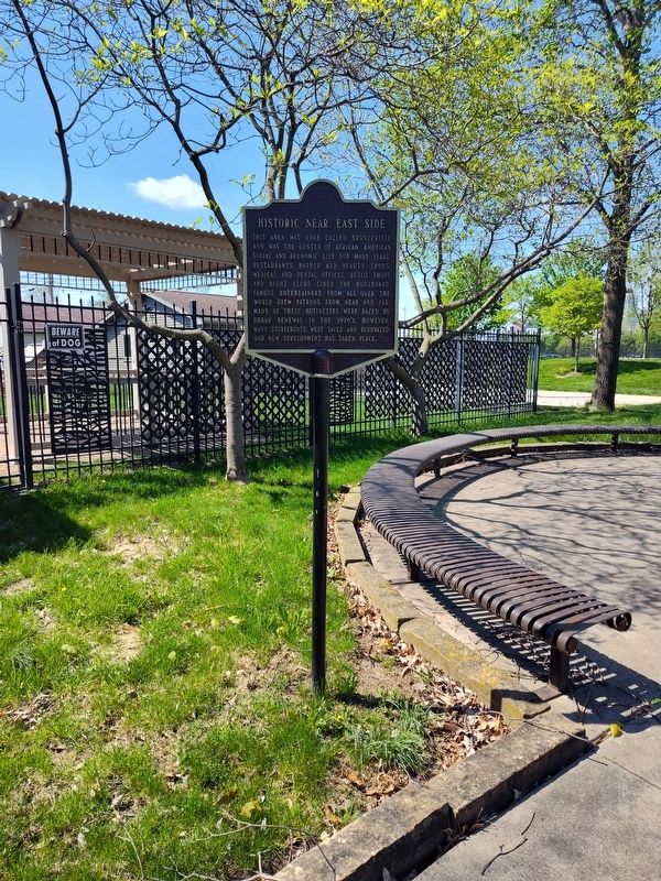
Photographed by Craig Doda, April 17, 2026
2. Historic Near East Side Marker
Credits. This page was last revised on April 28, 2026. It was originally submitted on April 26, 2026, by Craig Doda of Napoleon, Ohio. This page has been viewed 12 times since then. Photos: 1, 2. submitted on April 26, 2026, by Craig Doda of Napoleon, Ohio. • Devry Becker Jones was the editor who published this page.
