Misenheimer in Stanly County, North Carolina — The American South (South Atlantic)
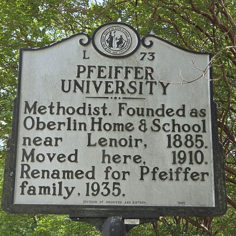
Pfeiffer University
Photographed by Mark Parker, April 25, 2026
1. Pfeiffer University Marker
Erected 1997 by Division of Archives and History. (Marker Number L 73.)
Topics. This historical marker is listed in these topic lists: Education • Religion & Religious Structures. A significant historical year for this entry is 1885.
Location. 35° 29.048′ N, 80° 17.044′ W. Marker is in Misenheimer, North Carolina, in Stanly County. It is on U.S. 52 0.3 miles east of Wesley Chapel Road, on the left when traveling east. Touch for map. Marker is at or near this postal address: 48380 US-52, Misenheimer NC 28109, United States of America. Touch for directions.

Regionally, this marker is in North Carolina’s Piedmont. It is also in the American South and specifically in the Upper South. Globally, it is in North America, the Western Hemisphere, the Western World, and the Anglosphere. Historically, it finds itself in what was once the territory of the Mississippian Culture, one of the original Thirteen Colonies, one of the Confederate States of America, and the Antebellum South.
Other nearby markers. At
this page online
Related marker. Click here for another marker that is related to this marker.
Photographed by Mark Parker, April 25, 2026
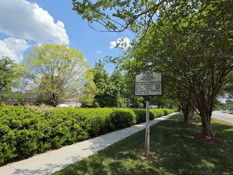
2. Pfeiffer University Marker looking east in US Hwy 52. Jordan Hall is in the background
Photographed by Mark Parker, April 25, 2026
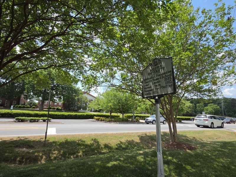
3. Pfeiffer University Marker across US Hwy 52 from Stokes Student Center
Credits. This page was last revised on April 28, 2026. It was originally submitted on April 26, 2026, by Mark Parker of Hickory, North Carolina. This page has been viewed 11 times since then. Photos: 1, 2, 3. submitted on April 26, 2026, by Mark Parker of Hickory, North Carolina. • Bernard Fisher was the editor who published this page.
