Fulton in Oswego County, New York — The American Northeast (Mid-Atlantic)
Historic Houses

Photographed by Mira Earls, April 27, 2026
1. Historic Houses Marker
Erected by William G. Pomeroy Foundation.
Topics and series. This historical marker is listed in these topic lists: Industry & Commerce • Notable Buildings • Settlements & Settlers. In addition, it is included in the William G. Pomeroy Foundation series list. A significant historical year for this entry is 1810.
Location. 43° 21.632′ N, 76° 25.644′ W. Marker is in Fulton, New York, in Oswego County. It is at the intersection of Van Buren Drive and New York State Route 481, on the right when traveling west on Van Buren Drive. Touch for map. Marker is at or near this postal address: 32 Van Buren Dr, Fulton NY 13069, United States of America. Touch for directions.

Regionally, this marker is in Upstate New York, specifically in Central New York, and in the Syracuse Metropolitan Area. It is also in the American Northeast and in the Mid-Atlantic. Globally, it is in North America, on the Great Lakes, in the Western Hemisphere, in the Western World, and in the Anglosphere. Historically, it finds itself in what was once
this page online
Other nearby markers. At least 8 other markers are within 4 miles of this marker, measured as the crow flies: Battle Island Park (approx. ¾ mile away); The Erie Canalway National Heritage Corridor (approx. 2.8 miles away); Oswego Canal (approx. 2.8 miles away); In Memory (approx. 2.8 miles away); Fulton Public Library (approx. 2.9 miles away); John Wells Pratt House (approx. 2.9 miles away); Fulton’s Industries Along the River (approx. 2.9 miles away); Msgt. Gregory John Harris USMC (approx. 3.2 miles away). Touch for a list and map of all markers in Fulton.
Photographed by Mira Earls, April 27, 2026
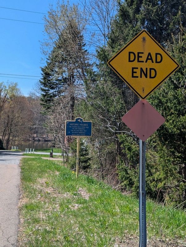
2. Historic Houses Marker photo at the beginning of the dead end road
Photographed by Mira Earls, April 27, 2026
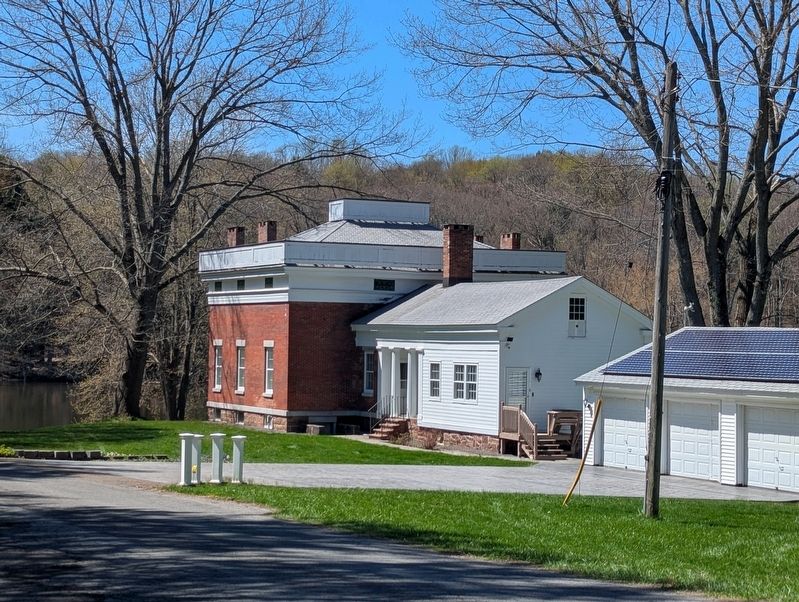
3. Historic Houses Marker structure view

Photographed by Mira Earls, April 27, 2026
4. Historic Houses Marker at the beginning of the road
Photographed by Mira Earls, April 27, 2026
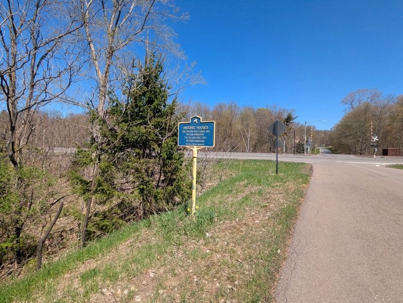
5. Historic Houses Marker showing the intersection of Van Buren Road with Hwy 481 and VanBuren Dr.
Credits. This page was last revised on April 29, 2026. It was originally submitted on April 27, 2026, by Mira Earls of Cortland, New York. This page has been viewed 23 times since then. Photos: 1, 2, 3, 4, 5. submitted on April 27, 2026, by Mira Earls of Cortland, New York. • Devry Becker Jones was the editor who published this page.
