
Marshall in Logan County, Oklahoma — The American South (West South Central)
Roxana
Photographed by Jimmy Emerson, July 2024
1. Roxana Marker
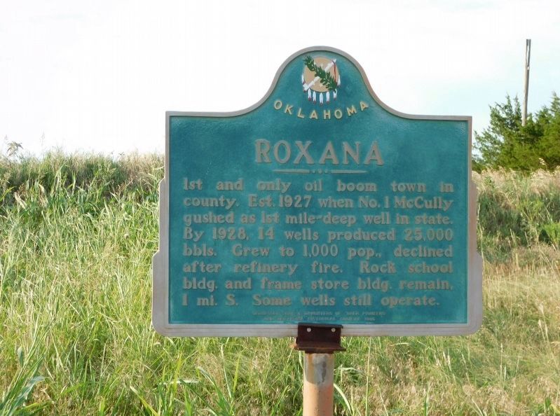
1st and only oil boom town in county. Est. 1927 when No. 1 McCully gushed as 1st mile-deep well in state. By 1928, 14 wells produced 25,000 bbls. Grew to 1,000 pop. declined after refinery fire. Rock school bldg. and frame store bldg. remain. 1 mi. S. Some wells still operate.
Erected 1986 by Hennessey Sons and Daughters of 89er Pioneers and Oklahoma Historical Society.
Topics. This historical marker is listed in this topic list: Industry & Commerce. A significant historical year for this entry is 1927.
Location. 36° 6.974′ N, 97° 39.584′ W. Marker is in Marshall, Oklahoma, in Logan County. It is on State Highway 51 0.1 miles west of Council Road (County Road N 3000), on the right when traveling west. Touch for map. Marker is in this post office area: Marshall OK 73056, United States of America. Touch for directions.

Regionally, this marker is in Central Oklahoma — Frontier Country and in Greater Oklahoma City. It is also in the American South, specifically on the prairies, and on the Southern Plains. Globally, it is in North America, the Western Hemisphere, the Western World, and the Anglosphere.
this page online
Other nearby markers. At least 2 other markers are within 3 miles of this marker, measured as the crow flies: Original Town Site of Roxana (approx. one mile away); Sheridan (approx. 2.9 miles away).
Credits. This page was last revised on May 6, 2026. It was originally submitted on May 1, 2026, by Jimmy Emerson of Dalton, Georgia. This page has been viewed 19 times since then. Photo 1. submitted on May 1, 2026, by Jimmy Emerson of Dalton, Georgia. • James Hulse was the editor who published this page.
Editor’s want-list for this marker. A wide view photo of the marker and the surrounding area together in context. • Can you help?
