Webster Groves in St. Louis County, Missouri — The American Midwest (Upper Plains)
In Memoriam
Photographed by Jason Voigt, May 1, 2026
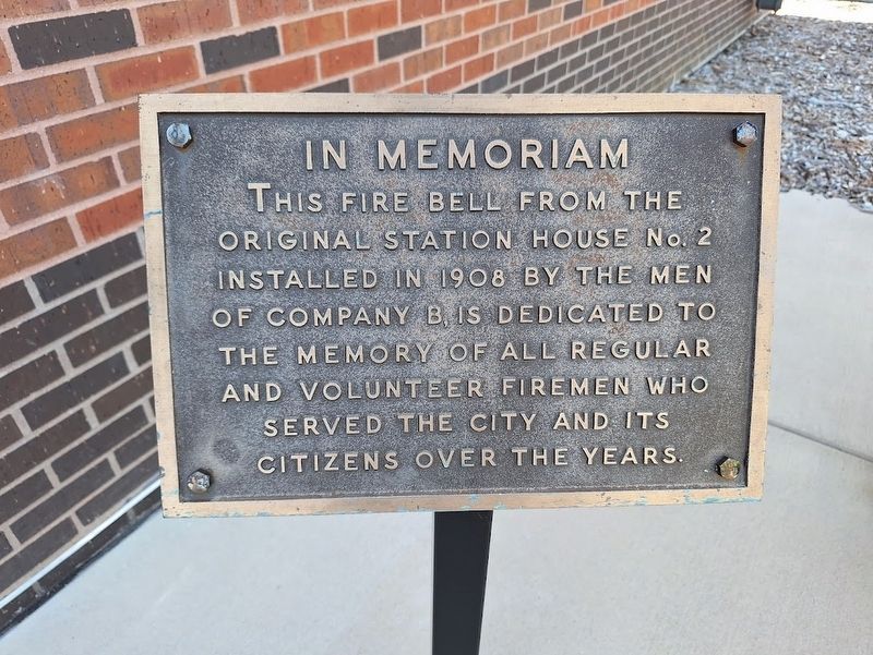
1. In Memoriam Marker
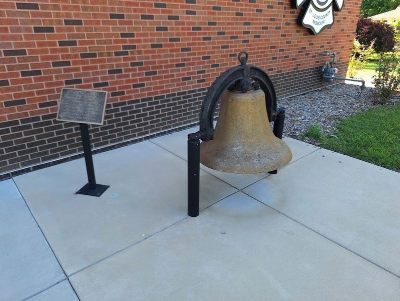
This fire bell from the original Station House No. 2 installed in 1908 by the men of Company B, is dedicated to the memory of all regular and volunteer firemen who served the city and its citizens over the years.
Topics and series. This historical marker is listed in this topic list: Communications. In addition, it is included in the Historic Bells series list. A significant historical year for this entry is 1908.
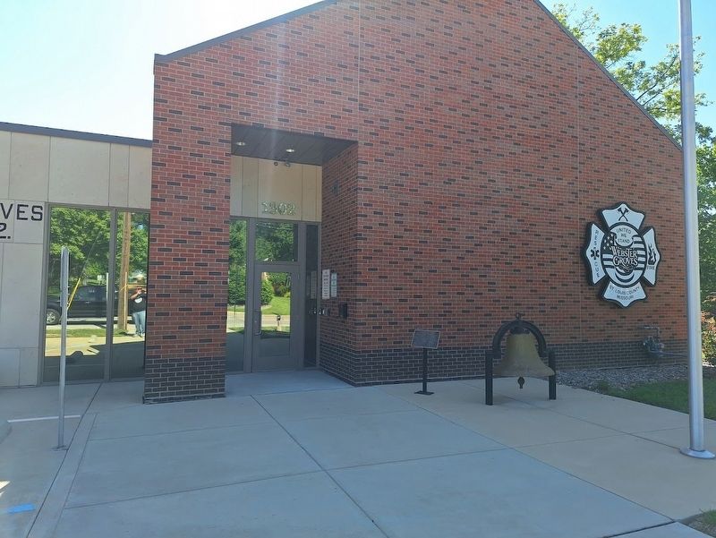
Location. 38° 34.23′ N, 90° 21.508′ W. Marker is in Webster Groves, Missouri, in St. Louis County. It is on South Elm Avenue near East Rose Avenue, on the right when traveling north. Marker is located in front of Webster Groves Fire Station No. 2. Touch for map. Marker is at or near this postal address: 1312 S Elm Ave, Saint Louis MO 63119, United States of America. Touch for directions.

Regionally, this marker is in Greater St. Louis. It is also in the American Midwest, in the Lewis & Clark Corridor, in the Corn Belt, and in the Great River Road Region. Globally, it is in North America, the Western Hemisphere, the Western World, and the Anglosphere. Historically, it finds itself in what was once the
this page online
Other nearby markers. At least 8 other markers are within 2 miles of this marker, measured as the crow flies: Christopher & Mary Ann Hawken House (approx. half a mile away); A Community within a Community / ~150 Years Ago—Contraband (approx. 1.3 miles away); Outbuildings / ~150 Years Ago—Colored Troops (approx. 1.3 miles away); Green Haven? (approx. 1.3 miles away); Slaves Only (approx. 1.3 miles away); The Roads to White Haven (approx. 1.3 miles away); The White Haven Estate: Other Houses (approx. 1.3 miles away); The Working Farm (approx. 1.3 miles away).
Photographed by Jason Voigt, May 1, 2026
2. In Memoriam Marker
Photographed by Jason Voigt, May 1, 2026
3. In Memoriam Marker
Credits. This page was last revised on May 2, 2026. It was originally submitted on May 2, 2026, by Jason Voigt of Glen Carbon, Illinois. This page has been viewed 11 times since then. Photos: 1, 2, 3. submitted on May 2, 2026, by Jason Voigt of Glen Carbon, Illinois.
