Hollis in Harmon County, Oklahoma — The American South (West South Central)
Old Greer County
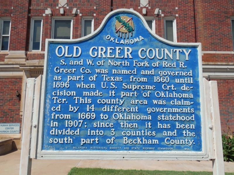
Photographed by Jimmy Emerson, May 2024
1. Old Greer County Marker
S. and W. of North Fork of Red R. Greer Co. was named and governed as part of Texas from 1860 until 1896 when U. S. Supreme Crt. decision made it part of Oklahoma Ter. This county area was claimed by 14 different governments from 1669 to Oklahoma statehood in 1907; since then it has been divided into 3 counties and the south part of Beckham County.
Erected 1954 by Oklahoma Historical Society and State Highway Commission.
Topics. This historical marker is listed in this topic list: Political Subdivisions. A significant historical year for this entry is 1860.
Location. 34° 41.049′ N, 99° 55.15′ W. Marker is in Hollis, Oklahoma, in Harmon County. It is at the intersection of West Hollis Street and N Main Street, on the left when traveling east on West Hollis Street. Touch for map. Marker is at or near this postal address: 114 W Hollis St, Hollis OK 73550, United States of America. Touch for directions.

Regionally, this marker is in Southwest Oklahoma. It is also in the American South, specifically on the prairies, and on the Southern Plains. Globally, it is in North America, the Western Hemisphere, the
this page online
Other nearby markers. At least 4 other markers are within 12 miles of this marker, measured as the crow flies: La Casa School (approx. 3½ miles away); 100th Meridian Oklahoma/Texas State Line (approx. 4.6 miles away); Ron School (approx. 7.8 miles away); Former Area Schools (approx. 11.8 miles away).
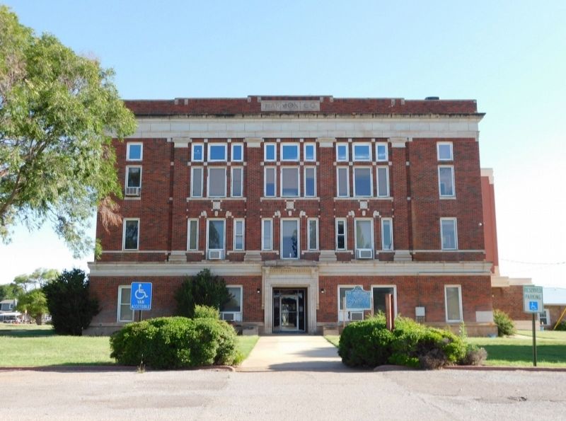
Photographed by Jimmy Emerson, May 2024
2. Old Greer County Marker on Harmon County courthouse lawn
Credits. This page was last revised on May 6, 2026. It was originally submitted on May 2, 2026, by Jimmy Emerson of Dalton, Georgia. This page has been viewed 15 times since then. Photos: 1, 2. submitted on May 2, 2026, by Jimmy Emerson of Dalton, Georgia. • James Hulse was the editor who published this page.
