Hollis in Harmon County, Oklahoma — The American South (West South Central)
La Casa School
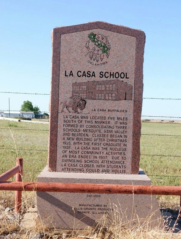
Photographed by Jimmy Emerson, May 2024
1. La Casa School Marker
La Casa was located five miles south of this marker. It was formed by consolidating three schools: Mesquite, Star Valley and Bearden. Classes began in a new building after Christmas 1925. With the first graduate in 1928, La Casa was the nucleus of most community activities. An era ended in 1957, due to dwindling school attendance, La Casa closed with students attending Gould and Hollis.
Erected 2002 by Oklahoma Historical Society. (Marker Number 242.)
Topics. This historical marker is listed in this topic list: Education. A significant historical year for this entry is 1925.
Location. 34° 40.89′ N, 99° 51.492′ W. Marker is in Hollis, Oklahoma, in Harmon County. It is on U.S. 62 east of County Road N 1740, on the left when traveling west. Touch for map. Marker is at or near this postal address: 17402 US-62, Hollis OK 73550, United States of America. Touch for directions.

Regionally, this marker is in Southwest Oklahoma. It is also in the American South, specifically on the prairies, and on the Southern Plains. Globally, it is in North America, the Western Hemisphere, the Western World, and the Anglosphere.
this page online
Other nearby markers. At least 4 other markers are within 10 miles of this marker, measured as the crow flies: Old Greer County (approx. 3½ miles away); 100th Meridian Oklahoma/Texas State Line (approx. 8.1 miles away); Ron School (approx. 8.6 miles away); Former Area Schools (approx. 9½ miles away).
Credits. This page was last revised on May 6, 2026. It was originally submitted on May 2, 2026, by Jimmy Emerson of Dalton, Georgia. This page has been viewed 19 times since then. Photo 1. submitted on May 2, 2026, by Jimmy Emerson of Dalton, Georgia. • James Hulse was the editor who published this page.
Editor’s want-list for this marker. A wide view photo of the marker and the surrounding area together in context. • Can you help?
