
Gold Hill in Rowan County, North Carolina — The American South (South Atlantic)
Randolph Shaft
| — | Gold Hill Rail Trail | — |
Photographed by Mark Parker, April 25, 2026
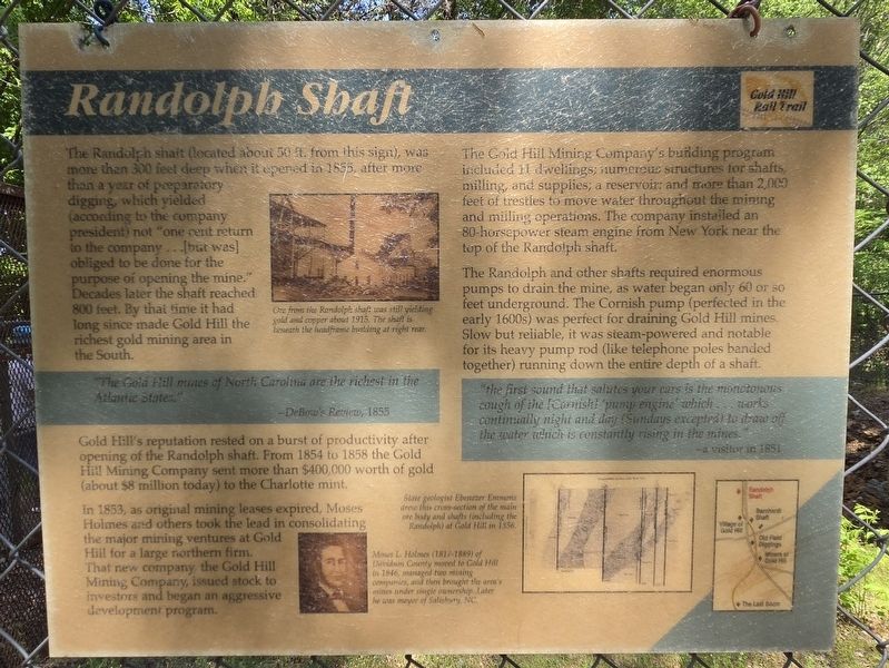
1. Randolph Shaft Marker
"The Gold Hill mines of North Carolina are the richest in the Atlantic States.Gold Hill's reputation rested on a burst of productivity after opening of the Randolph shaft. From 1854 to 1858 the Gold Hill Mining Company sent more than $400,000 worth of gold (about $8 million today) to the Charlotte mint.
- DeBow's Review, 1855
In 1853, as original mining leases expired, Moses Holmes and others took the lead in consolidating the major mining ventures at Gold Hill for a large northern firm. That new company, the Gold Hill Mining Company, issued stock to investors and began an aggressive development program.
The Gold Hill Mining Company's building program included 11 dwellings;
this page online
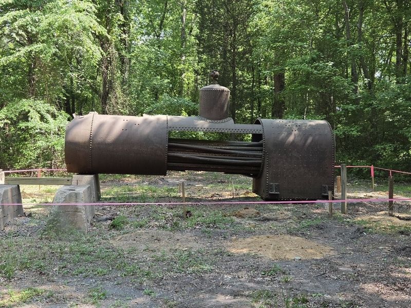
The Randolph and other shafts required enormous pumps to drain the mine, as water began only 60 or so feet underground. The Cornish pump (perfected in the early 1600s) was perfect for draining Gold Hill mines. Slow but reliable, it was steam-powered and notable for its heavy pump rod (like telephone poles banded together) running down the entire depth of a shaft.
"the first sound that salutes your ears is the monotonous cough of the [Corish] 'pump engine' which ...works continually night and day (Sundays excepted) to draw off the water which is constantly rising in the mines.(Captions)
-a visitor in 1851
Ore from the Randolph shaft was still yielding gold and copper about 1915. The shaft is beneath the headframe building at right rear.
Slave geologist Ebenezer Emmons drew this cross-section of the main ore body and shafts (including the Randolph) at Cold Hill in 1856.
Moses L. Holmes (1817-1889) of Davidson County moved to Gold Hill in 1846, managed two mining companies, and then brought the area's mines ander single ownership. Later was mayor of Salisbury, NC
Topics.
Photographed by Mark Parker, April 25, 2026
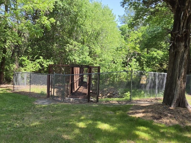
2. Randolph Shaft in the fence. Marker is attached to the chain link fence
Location. 35° 30.751′ N, 80° 20.728′ W. Marker is in Gold Hill, North Carolina, in Rowan County. It can be reached from Saint Stephens Church Road 0.3 miles south of Baptist Church Road, on the right when traveling south. The marker and Randolph Shaft are blocked from view by trees and shrubs along St Stephens Church Road. It is along the Gold Hill Rail Trail about 300 feet north of Assay Office and Ore Shop building. Touch for map. Marker is at or near this postal address: 440 St Stephens Church Rd, Gold Hill NC 28071, United States of America. Touch for directions.

Regionally, this marker is in North Carolina’s Piedmont. It is also in the American South and specifically in the Upper South. Globally, it is in North America, the Western Hemisphere, the Western World, and the Anglosphere. Historically, it finds itself in what was once the territory of the Mississippian Culture, one of the original Thirteen Colonies, one of the Confederate States of America, and the Antebellum South.
Other nearby markers. At

Photographed by Mark Parker, April 25, 2026
3. Randolph Shaft entrance and platform
Also see . . . Historic Gold Hill. (Submitted on May 6, 2026.)
Photographed by Mark Parker, April 25, 2026
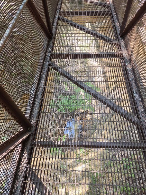
4. Randolph Shaft from the platform
Photographed by Mark Parker, April 25, 2026
5. Stationary Steam Engine used at the Randolph Shaft
Credits. This page was last revised on May 6, 2026. It was originally submitted on May 2, 2026, by Mark Parker of Hickory, North Carolina. This page has been viewed 19 times since then. Photos: 1, 2, 3, 4, 5. submitted on May 2, 2026, by Mark Parker of Hickory, North Carolina. • Bernard Fisher was the editor who published this page.
