City of London in Greater London, England, United Kingdom — Northwestern Europe (the British Isles)
Aldgate
Photographed by Andrew Ruppenstein, April 25, 2026
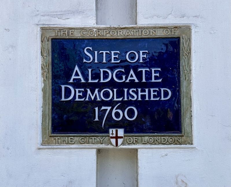
1. Aldgate Marker
Site of Aldgate
Demolished 1760
Erected by Corporation of the City of London.
Topics and series. This historical marker is listed in this topic list: Forts and Castles. In addition, it is included in the UK, England, City of London Corporation series list. A significant historical year for this entry is 1762.
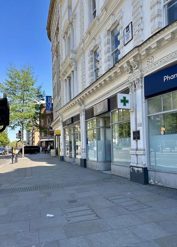
Location. 51° 30.811′ N, 0° 4.593′ W. Marker is in City of London, England, in Greater London. It is at the intersection of Aldgate High Street and Jewry Street, on the right when traveling east on Aldgate High Street. Touch for map. Marker is at or near this postal address: 88 Aldgate High Street, City of London, England EC3N 1AF, United Kingdom. Touch for directions.

Regionally, this marker is in the Greater South East. Globally, it is on the Atlantic Ocean, in the North Atlantic Region, in Europe, in Atlantic Europe, on one of the British Isles, in the Western World, and in the Anglosphere. Historically, it finds itself in what was once the Roman Empire.
Other nearby markers. At least 8 other markers are within walking distance of this marker: Phillis Wheatley (within shouting distance of
this page online
Also see . . . Aldgate (Wikipedia). Excerpt:
Aldgate was a gate in the former defensive wall around the City of London.(Submitted on May 3, 2026.)
It is thought that a gate at Aldgate spanned the road to Colchester in the Roman period, when London Wall was constructed. The gateway – which probably had two circular towers – stood at the corner of the modern Duke's Place, on the east side of the city, with a busy thoroughfare passing through it.
The gate was rebuilt between 1108 and 1147, again in 1215, and reconstructed completely between 1607 and 1609 "in a more classical and less functional style". Like London's other gates, Aldgate was "fortified with porticullises and chained"in 1377 due to concerns about potential attacks by the French.Photographed by Andrew Ruppenstein, April 25, 20262. Aldgate Marker - wide view
Aldgate's defensive functions are known to have been tested twice. Firstly during the Great Rising in the summer of 1381 when thousands of insurgents from the surrounding region, assisted by sympathisers within and without, entered the City through Aldgate, unopposed. The second breach was during the Siege of London, in the spring of 1471, when troops led by the Bastard of Fauconberg forced the gate, but were penned in and defeated in the small open space inside the gate.
While he was a customs official, from 1374 until 1386 - including the period of the Great Rising, Geoffrey Chaucer occupied apartments above the gate, where he wrote some of his poems.…
Additional keywords. blue plaque
Credits. This page was last revised on May 3, 2026. It was originally submitted on May 3, 2026, by Andrew Ruppenstein of Lamorinda, California. This page has been viewed 18 times since then. Photos: 1, 2. submitted on May 3, 2026, by Andrew Ruppenstein of Lamorinda, California.
