Milford Mine Memorial Park near Wolford in Crow Wing County, Minnesota — The American Midwest (Upper Plains)
Milford Miners
Photographed by McGhiever, June 27, 2025
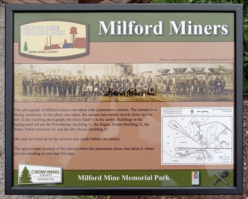
1. Milford Miners Marker
Photos courtesy of Cuyuna Iron Range Historical Network
This photograph of Milford miners was taken with a panoramic camera. The camera was facing southwest. As the photo was taken, the camera lens moved slowly from right to left. In the resulting photograph, the Main Shaft is in the center. Buildings in the background left are the Powerhouse (building 3), the Engine House (building 2), the Water Tower (structure 4), and the Dry House (building 5).
Ore cars are lined up on the railroad spur grade behind the miners.
The approximate location of the camera when this panoramic photo was taken is where you are standing as you read this sign.
Erected by Crow Wing County.
Topics. This historical marker is listed in these topic lists: Industry & Commerce • Railroads & Streetcars.
Location. 46° 32.094′ N, 93° 58.345′ W. Marker is near Wolford, Minnesota, in Crow Wing County. It is in Milford Mine Memorial Park. It can be reached from Milford Lake Drive. The marker is near trail intersection 2, on the south side of the mine shaft. Touch for map. Marker is in
this page online

Regionally, this marker is in Minnesota’s Northland. It is also in the American Midwest, in the Corn Belt, and in the Great River Road Region. Globally, it is in North America, the Great North Woods, the Western Hemisphere, the Western World, and the Anglosphere. Historically, it finds itself in what was once Rupert’s Land, the territory of the Mississippian Culture, and the Northwest Territory.
Other nearby markers. At least 8 other markers are within walking distance of this marker: Example of Timberwork Along the Main Shaft (a few steps from this marker); Mine Shaft Entrance (a few steps from this marker); The Mine Shaft (a few steps from this marker); The Milford Mine Disaster (within shouting distance of this marker); The Cuyuna Iron Range (within shouting distance of this marker); Milford Mine (within shouting distance of this marker); Repair Shop (within shouting distance of this marker); Engine House (within shouting distance of this marker). Touch for a list and map of all markers in Wolford.
Photographed by McGhiever, June 27, 2025
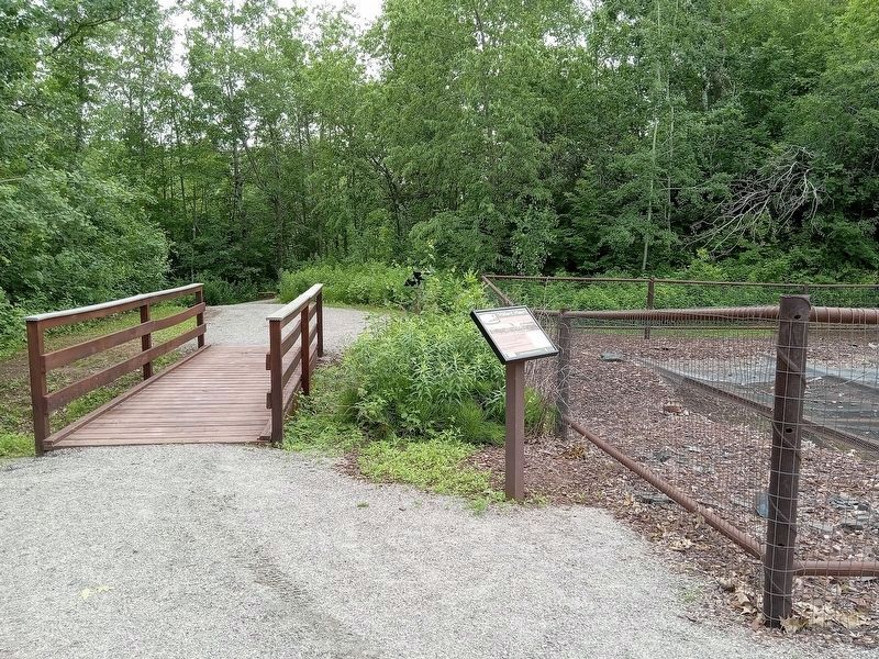
2. Milford Miners Marker beside the former mine shaft
Credits. This page was last revised on May 3, 2026. It was originally submitted on May 3, 2026, by McGhiever of Minneapolis, Minnesota. This page has been viewed 11 times since then. Photos: 1, 2. submitted on May 3, 2026, by McGhiever of Minneapolis, Minnesota.
