Elm Creek in Phelps County, Nebraska — The American Midwest (Upper Plains)
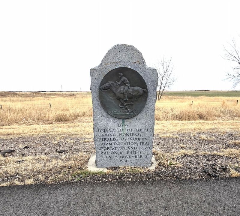
1860
Photographed by Susan Van Den Bosch, February 18, 2026
1. 1860 Marker
Dedicated to those daring pioneers, heralds of modern communication, transportation and civilization.
Erected 1931 by Phelps County.
Topics. This historical marker is listed in these topic lists: Animals • Communications • Exploration • Industry & Commerce. A significant historical year for this entry is 1860.
Location. 40° 38.9′ N, 99° 22.819′ W. Marker is in Elm Creek, Nebraska, in Phelps County. It is on U.S. 183 south of County Road 747, on the right when traveling north. Touch for map. Marker is at or near this postal address: 74653 Highway 183, Holdrege NE 68949, United States of America. Touch for directions.

Regionally, this marker is in Eastern Nebraska. It is also in the American Midwest, in the Corn Belt, and on the prairies. Globally, it is in North America, the Western Hemisphere, the Western World, and the Anglosphere. Historically, it finds itself in what was once the Louisiana Purchase.
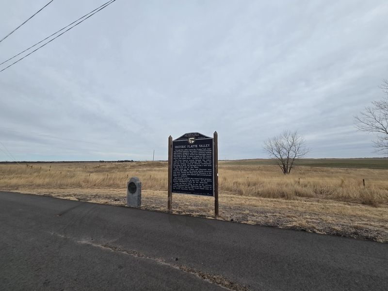
Other nearby markers. At least 6 other markers are within 18 miles of this marker, measured as the crow flies: Historic Platte Valley (a few steps from this marker); The Tobin Indian Raid (approx.
this page online
Related marker. Click here for another marker that is related to this marker.
Additional keywords. Pony Express Marker
Photographed by Susan Van Den Bosch, February 18, 2026
2. Site of the "Historic Platte Valley" and Pony Express Marker
Photographed by Susan Van Den Bosch, February 18, 2026
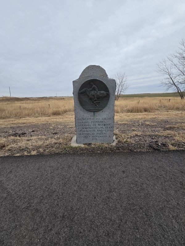
3. Pony Express
Credits. This page was last revised on May 8, 2026. It was originally submitted on May 3, 2026, by Susan Van Den Bosch of Almond, Wisconsin. This page has been viewed 28 times since then. Photos: 1, 2, 3. submitted on May 3, 2026, by Susan Van Den Bosch of Almond, Wisconsin. • Devry Becker Jones was the editor who published this page.
