Boerne in Kendall County, Texas — The American South (West South Central)
Poor ol' SAP
Frenzied and frugal fabrication is formula for failure
Photographed by James Hulse, April 26, 2026
1. Poor ol' SAP Marker
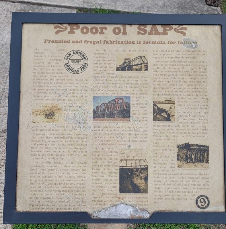
On January 2, 1890, a timber trestle spanning the Lavaca River near Hallettsville collapsed beneath Engine No. 56 and its ill-fated freight and passenger cars. Several deaths resulted from this tragic incident; the subsequent lawsuits proved too much for the young railroad, and so the “SAP” went into receivership on July 14, 1890.
The Kerrville branch of the SA&AP constructed numerous bridges to span the flood-prone seasonal creeks, streams,
this page online
On July 15, 1900, the debris-choked floodwaters of the Guadalupe rose above the stone bridge supports and swept away the middle and eastern bridge spans. For five months, Comfort, Center Point, and Kerrville were without rail transportation and would not see service until the end of that year as repairs were made to the bridge and wooden approaches. To prevent a similar occurrence, the four limestone bridge supports were extended an additional seven feet, and a steel bridge span was placed in the middle span and a wood span was reinstalled to complete the eastern span. Later, the two remaining wood bridge spans were replaced with steel bridges to provide
Photographed by James Hulse, April 26, 2026
2. Poor ol' SAP Marker
During the early 1970s, the Southern Pacific Railroad was salvaging all the rail and steel bridges along its route from Camp Stanley to Kerrville. Before Southern Pacific began contacting railroad companies in Mexico, Central and South America as prospective buyers for the bridge spans, an arrangement was made with the family of whom the original land for the bridge was purchased, and the entire bridge was retained. Today, it remains in place and is used as a bridge to transport vehicles, farm implements, and livestock across the Guadalupe River floodwaters.
Numerous smaller bridges were needed to span the perennial creeks and dry drainages of the Hill Country. The original bridge constructed to span the Cibolo Creek canyon was a single wooden truss bridge that closely matches one of the original bridge spans of the Guadalupe River bridge. Years later, this wood-truss bridge was replaced with a stronger, less expensive girder bridge so that heavier trains and rolling stock could be used on the Kerrville branch. Sturdy bridges were needed as well along
Photographed by James Hulse, April 26, 2026
3. Poor ol' SAP Marker
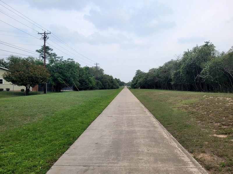
The view of the Old No. 9 Greenway with the marker on the right side in the distance.
Similar to the SA&AP, the F&N constructed a 300-foot bridge to span the Pedernales River, about four miles southeast of Fredericksburg. Built after the devastating flood of 1900 that occurred on both the Guadalupe and Pedernales Rivers, the F&N Pedernales River bridge sustained heavy damage in October of 1936. Close to one thousand feet of rail, along with the three bridge spans, were swept downstream. Ribbons of rail were wrapped like baling wire around the tall cypress trees several hundred feet away.
Captions:
Derailment of SA&AP on Lavaca River in 1890.
Reconstruction of Guadalupe River bridge after 1900 flood.
Steeltruss bridge atop cut-limestone piers spanning Guadalupe River.
Early 1900's postcard showing Cibolo Creek flood level.
Hinky Dinky crossing the cavernous Cibolo.
SAF&N timber bridge spanning Block Creek enroute to tunnel.
Erected by City of Boerne.
Topics. This historical marker is listed in this topic list: Railroads & Streetcars. A significant historical date for this entry is January 2, 1890.
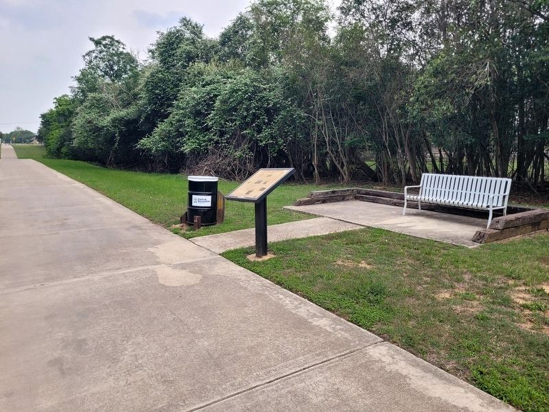
Location. 29° 47.695′ N, 98° 43.468′ W. Marker is in Boerne, Texas, in Kendall County. It is on Shadywood Street north of Rosewood Ave. The marker is located along the Old No. 9 Greenway. Touch for map. Marker is at or near this postal address: 103 Shadywood St, Boerne TX 78006, United States of America. Touch for directions.

Regionally, this marker is in the Hill Country and in the San Antonio Metropolitan Area. Globally, it is in North America, a Gulf of Mexico state, the Western Hemisphere, the Western World, and the Anglosphere. Historically, it finds itself in what was once New Spain, the Republic of Texas, and one of the Confederate States of America.
Other nearby markers. At least 8 other markers are within walking distance of this marker: Kendall Masonic Lodge No. 897 (approx. 0.2 miles away); Boerne Chapter No. 200 - O.E.S. (approx. 0.2 miles away); SA and AP (approx. 0.2 miles away); Lott Lines (approx. 0.2 miles away); San Antonio, Fredericksburg & Northern Railroad Company (SAF&N) (approx. 0.2 miles away); San Antonio Railroads (approx. 0.2 miles away); Transportation Timeline (approx. 0.2 miles away); Promotion & Prosperity (approx. 0.2 miles away). Touch for a list and map of all markers in Boerne.
Credits. This page was last revised on May 5, 2026. It was originally submitted on May 3, 2026, by James Hulse of Medina, Texas. This page has been viewed 19 times since then. Photos: 1, 2, 3. submitted on May 5, 2026, by James Hulse of Medina, Texas.
