Lake Providence in East Carroll Parish, Louisiana — The American South (West South Central)
Parish of Carroll
Photographed by Jimmy Emerson, 2020
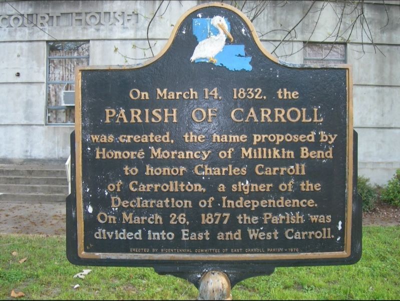
1. Parish of Carroll Marker
On March 14, 1832, the Parish of Carroll was created, the name proposed by Honoré Morancy of Millikin Bend to honor Charles Carroll of Carrollton, a signer of the Declaration of Independence. On March 26, 1877 the Parish was divided into East and West Carroll.
Erected 1976 by Bicentennial Committee of East Carroll Parish.
Topics. This historical marker is listed in these topic lists: Patriots & Patriotism • Political Subdivisions. A significant historical year for this entry is 1832.
Location. 32° 48.231′ N, 91° 10.385′ W. Marker is in Lake Providence, Louisiana, in East Carroll Parish. It is at the intersection of 1st Street and Hood Street, on the right when traveling east on 1st Street. Touch for map. Marker is at or near this postal address: 400 1st St, Lake Providence LA 71254, United States of America. Touch for directions.

Regionally, this marker is in North Louisiana. It is also in the American South, specifically in the Deep South, and in the Mississippi Delta. Globally, it is in North America, a Gulf of Mexico state, the Western Hemisphere, the Western World, and the Anglosphere.
this page online
Other nearby markers. At least 8 other markers are within 3 miles of this marker, measured as the crow flies: Jean Baptiste Bienville (within shouting distance of this marker); Grant's Canal (approx. ¼ mile away); Battle for the Mississippi: The Vicksburg Campaign (approx. ¼ mile away); Grant's March Through Louisiana (approx. ¼ mile away); Soldiers' Rest (approx. 0.7 miles away); Lake Providence Confederate Monument (approx. 0.8 miles away); Hood Home Plantation (approx. 2.3 miles away); Gin Office (approx. 2.3 miles away). Touch for a list and map of all markers in Lake Providence.
Photographed by Jimmy Emerson, 2020
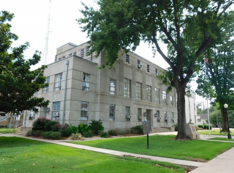
2. Parish of Carroll Marker
Marker is in the foreground in front of parish courthouse
Credits. This page was last revised on May 4, 2026. It was originally submitted on May 3, 2026, by Jimmy Emerson of Dalton, Georgia. This page has been viewed 24 times since then. Photos: 1, 2. submitted on May 3, 2026, by Jimmy Emerson of Dalton, Georgia. • James Hulse was the editor who published this page.
