Near Mariposa in Mariposa County, California — The American West (Pacific Coastal)
The Townsite of Agua Fria, California
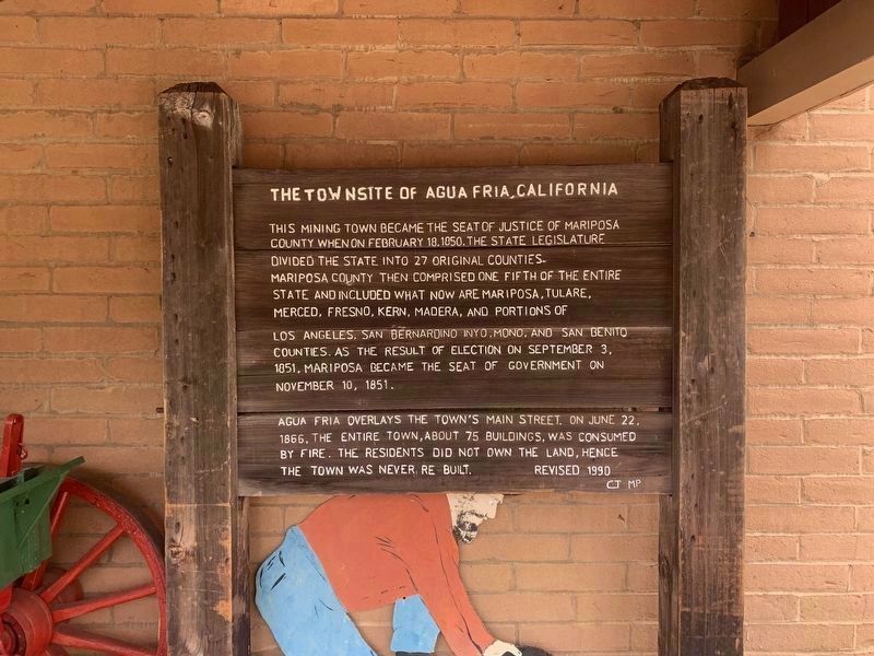
Photographed by Liam Williams, April 27, 2026
1. Townsite of Agua Fria Marker
This mining town became the seat of justice of Mariposa County when on February 18, 1850, the State Legislature divided the state into 27 original counties. Mariposa County then comprised one fifth of the entire state and included what now are Mariposa, Tulare, Merced, Fresno, Kern, Madera, and portions of Los Angeles, San Bernardino Inyo, Mono, and San Benito Counties. As a result of election on September 3, 1851, Mariposa became the seat of government on November 10, 1851.
Aqua Fria overlays the town's main street. On June 22, 1866, the entire town, about 75 buildings, was consumed by fire. The residents did not own the land, hence the town was never re-built.
Revised 1990
Erected 1991 by FFA Mariposa.
Topics. This historical marker is listed in this topic list: Settlements & Settlers. A significant historical date for this entry is February 18, 1850.
Location. 37° 29.368′ N, 119° 58.27′ W. Marker is near Mariposa, California, in Mariposa County. It is at the intersection of Jessie Street and 12th Street, on the left when traveling north on Jessie Street. Touch for map. Marker is at or near this postal address: 5119 Jessie
this page online

Regionally, this marker is in the Gold Country and in the Sierra Nevada. It is also in the American Mountain West. Globally, it is in North America, on the Pacific Rim, in the Western Hemisphere, in the Western World, and in the Anglosphere. Historically, it finds itself in what was once New Spain and also Mexico’s Alta California.
Other nearby markers. At least 8 other markers are within walking distance of this marker: Mariposa Museum and History Center (within shouting distance of this marker); The Lind Homes (approx. 0.2 miles away); A Shrine to Justice in California (approx. 0.2 miles away); Mariposa County Court House (approx. 0.2 miles away); a different marker also named Mariposa County Court House (approx. 0.2 miles away); Mariposa County Courthouse (approx. ¼ mile away); Mariposa Cemetery (approx. ¼ mile away); Gishel Hotel and Bakery (approx. 0.4 miles away). Touch for a list and map of all markers in Mariposa.
More about this marker. The marker has been moved from its original location on Agua Fria Road. It is now located in front

Photographed by Barry Swackhamer, August 20, 2011
2. Townsite of Agua Fria Marker
Original location. The marker has been moved to the Mariposa Museum & History Center.
This was the 3rd wooden sign, dedicated June 9, 1991 by FFA Mariposa chapter members Tina Shimer, Pauline Penrose, Sandy Hill, Carl Tilton, John Tillery, and Mike Phillips.
Related marker. Click here for another marker that is related to this marker. — The original marker location, with a new marker.
Also see . . .
1. Agua Fria, California. Western Mining History website. (Submitted on March 18, 2022, by Larry Gertner of New York, New York.)
2. Ghosttowns: Aqua Fria. (Submitted on August 23, 2011, by Barry Swackhamer of Brentwood, California.)
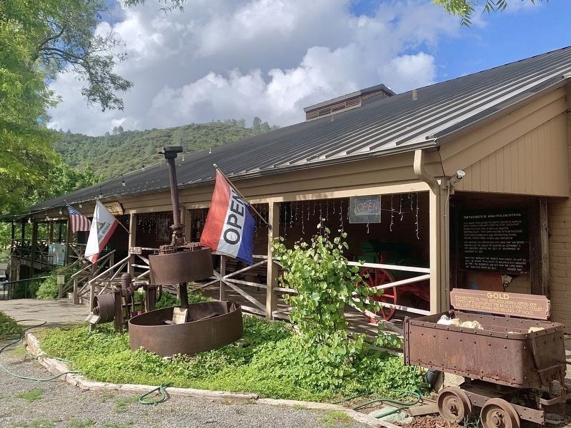
Photographed by Liam Williams, April 27, 2026
3. Mariposa Museum & History Center
The Agua Fria marker is at far right.
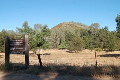
Photographed by Barry Swackhamer, August 20, 2011
4. Townsite of Agua Fria
The townsite was on both sides of the road.
Credits. This page was last revised on August 6, 2026. It was originally submitted on August 23, 2011, by Barry Swackhamer of Brentwood, California. This page has been viewed 1,669 times since then and 52 times this year. Last updated on May 6, 2026, by Liam Williams of Irvine, California. Photos: 1. submitted on May 6, 2026, by Liam Williams of Irvine, California. 2. submitted on August 23, 2011, by Barry Swackhamer of Brentwood, California. 3. submitted on May 6, 2026, by Liam Williams of Irvine, California. 4. submitted on August 23, 2011, by Barry Swackhamer of Brentwood, California. • Devry Becker Jones was the editor who published this page.
