Fort Monroe in Hampton, Virginia — The American South (Mid-Atlantic)
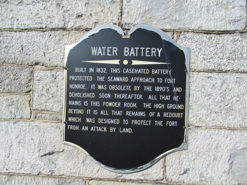
Water Battery
Photographed by Michael Herrick, March 16, 2017
1. Water Battery Marker
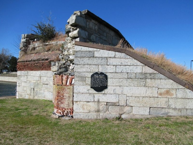
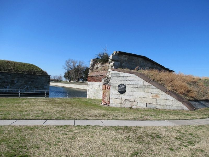
Built in 1832, this casemated battery protected the seaward approach to Fort Monroe. It was obsolete by the 1890’s and demolished soon thereafter. All that remains is this powder room. The high ground beyond it is all that remains of a redoubt which was designed to protect the fort from an attack by land.
Topics. This historical marker is listed in this topic list: Forts and Castles. A significant historical year for this entry is 1832.
Location. Marker is missing. It was located near 37° 0.252′ N, 76° 18.232′ W. Marker was in Hampton, Virginia. It was in Fort Monroe. It was at the intersection of Fenwick Road and Bomford Lane, on the right when traveling south on Fenwick Road. Touch for map. Marker was at or near this postal address: 300 Fenwick Rd, Fort Monroe VA 23651, United States of America. Touch for directions.

Regionally, this marker was on Virginia’s Peninsula and in Coastal Virginia. It was also in the American South, specifically in the Upper South, in the Tidewater, and on the Eastern Seaboard. Globally, it was in the North Atlantic Region, North America, the Western Hemisphere, the Western World,
this page online
Other nearby markers. At least 8 other markers are within walking distance of this location: Fort Monroe (about 400 feet away, measured in a direct line); Fort Monroe History (about 500 feet away); Battery Parrott (approx. 0.2 miles away); Battery Irwin (approx. 0.2 miles away); Jefferson Davis Memorial Arch (approx. 0.2 miles away); An Enduring Legacy? (approx. 0.2 miles away); Old Point Comfort Light (approx. ¼ mile away); Omaha Beach Memorial Tree (approx. ¼ mile away). Touch for a list and map of all markers in Hampton.
Another marker is no longer nearby. Fort Monroe Concrete Seawall Eastern Terminus (was approx. 0.2 miles away but has been confirmed missing).
Also see . . .
1. Fort Monroe National Monument, National Park Service. (Submitted on August 19, 2019.)
2. Fort Monroe (Stone Fort) National Register of Historic Places Registration Form (pdf file). (Submitted on August 19, 2019.)
Photographed by Michael Herrick, March 16, 2017
2. Water Battery Marker
Photographed by Michael Herrick, March 16, 2017
3. Water Battery Marker
Credits. This page was last revised on May 8, 2026. It was originally submitted on March 22, 2017, by Michael Herrick of Southbury, Connecticut. This page has been viewed 592 times since then and 38 times this year. Last updated on May 7, 2026, by Evan Dwyer of Richmond, Virginia. Photos: 1, 2, 3. submitted on March 22, 2017, by Michael Herrick of Southbury, Connecticut. • Devry Becker Jones was the editor who published this page.
