Near East Worcester in Otsego County, New York — The American Northeast (Mid-Atlantic)
Welcome to Worcester
Photographed by Steve Stoessel, May 7, 2026
1. Welcome to Worcester Marker
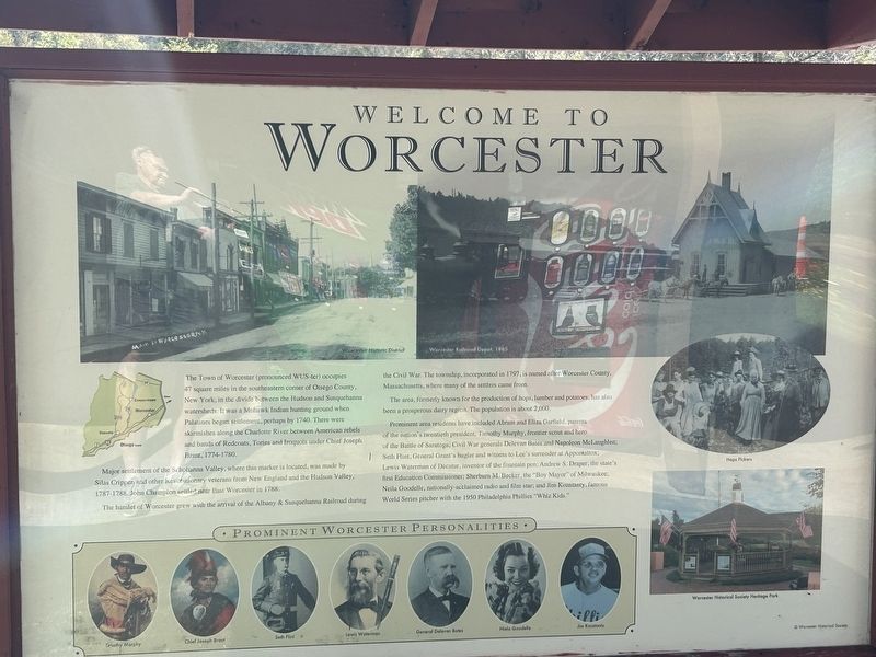
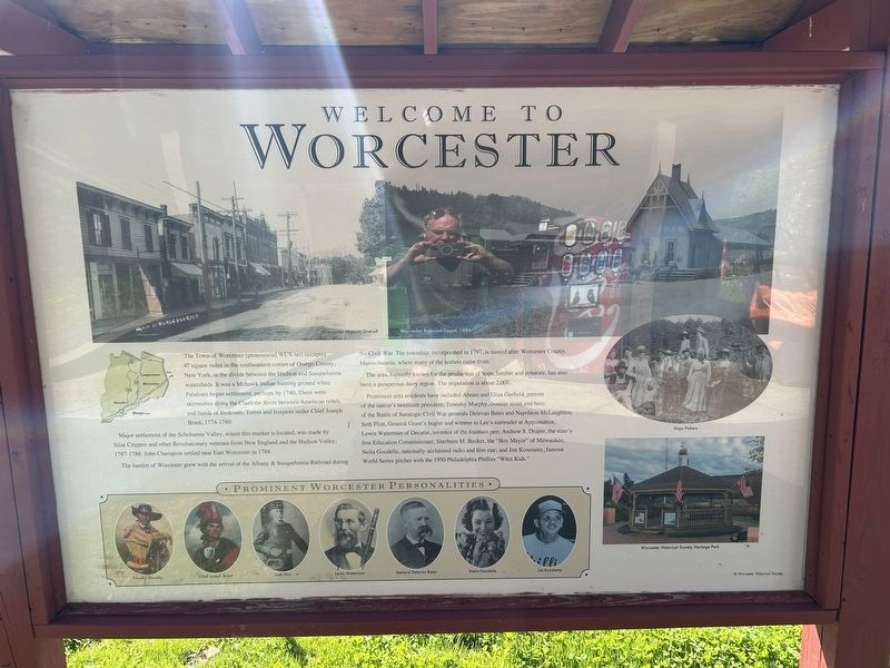
The Town of Worcester (pronounced WUS-ter) occupies 47 square miles in the southeastern corner of Otsego County, New York, in the divide between the Hudson and Susquehanna watersheds. It was a Mohawk Indian hunting ground when Palatines began settlement, perhaps by 1740. There were skirmishes along the Charlotte River between American rebels and bands of Redcoats, Tories and Iroquois under Chief Joseph Brant, 1774-1780.
Major settlement of the Schohanna Valley, where this marker is located, was made by Silas Crippen and other Revolutionary veterans from New England and the Hudson Valley, 1787-1788. John Champion settled near East Worcester in 1788.
The hamlet of Worcester grew with the arrival of the Albany & Susquehanna Railroad during ng the Civil War. The township, incorporated in 1797, is named after Worcester County, Massachusetts, where many of the settlers came from.
The area, formerly known for the production of hops, lumber and potatoes, has also been a prosperous dairy region. The population is about 2,000.
Prominent area residents have included Abram and Eliza Garfield, parents of the nation's
this page online
[ Photo Captions, clockwise from top left: ]
- Worcester Historic District
- Worcester Railroad Depot, 1885
- Hops Pickers
- Worcester Historical Society Heritage Park
- Prominent Worcester Personalities: Timothy Murphy, Chief Joesph Brant, Seth Flint, Lewis Waterman, General Delevan Bates, Neila Goodelle, Jim Konstanty
Topics. This historical marker is listed in this topic list: Settlements & Settlers. A significant historical year for this entry is 1740.
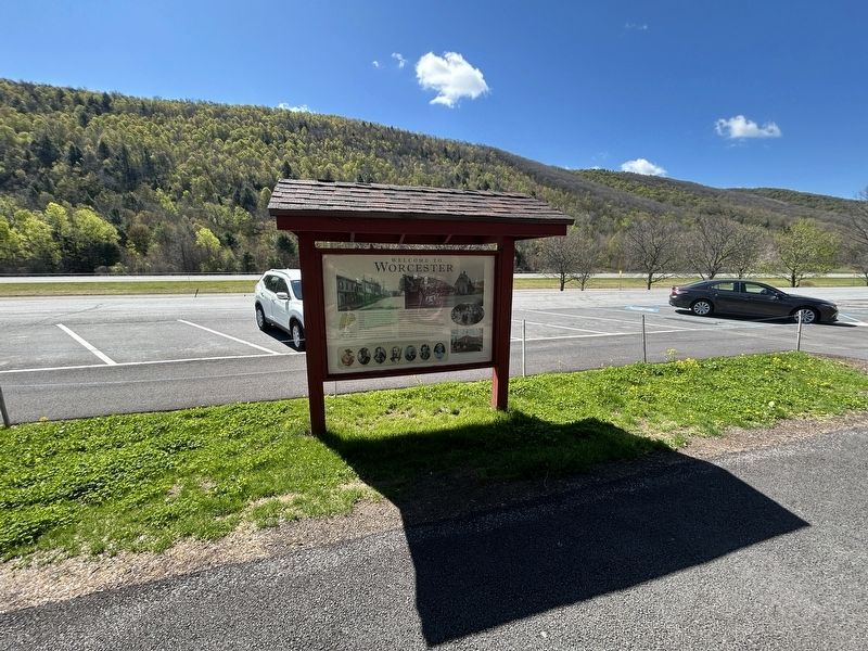
Location. 42° 36.532′ N, 74° 41.118′ W. Marker is near East Worcester, New York, in Otsego County. It is on Senator Warren M. Anderson Expressway
Photographed by Steve Stoessel, May 7, 2026
2. Welcome to Worcester Marker

Regionally, this marker is in Upstate New York and in the Mohawk Valley. It is also in the American Northeast, in the Mid-Atlantic, in Appalachia, and specifically in Northern Appalachia. Globally, it is in North America, the Western Hemisphere, the Western World, and the Anglosphere. Historically, it finds itself in what was once the Haudenosaunee (Iroquois) Confederacy, New Netherland, and one of the original Thirteen Colonies.
Other nearby markers. At least 8 other markers are within 5 miles of this marker, measured as the crow flies: Garfield Farm (approx. 2.7 miles away); First Church (approx. 3.4 miles away); Worcester (approx. 4.1 miles away); Charlotteville Schoolhouse (approx. 4½ miles away); People's College (approx. 4½ miles away); Site of Charlotteville Seminary (approx. 4½ miles away); Corporal James Tanner (approx. 4.7 miles away); Welcome To Worcester
Photographed by Steve Stoessel, May 7, 2026
3. Rear of Marker
Photographed by Steve Stoessel, May 7, 2026
4. Welcome to Worcester Marker
Credits. This page was last revised on May 17, 2026. It was originally submitted on May 8, 2026, by Steve Stoessel of Niskayuna, New York. This page has been viewed 19 times since then. Photos: 1, 2, 3, 4. submitted on May 8, 2026, by Steve Stoessel of Niskayuna, New York.
