Berliner Innenstadt in Mitte, Germany — Northeast German Plain (The European Plain)
Mühlen der Bürokratie
⎯⎯⎯
Mills of Bureaucracy
Photographed by James Hulse, March 7, 2026
1. Mühlen der Bürokratie / Mills of Bureaucracy Marker

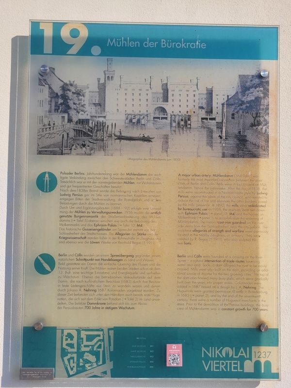
Pulsader Berlins: Jahrhundertelang war der Mühlendamm die wichtigste Verbindung zwischen den Schwesterstädten Berlin und Cölln. Tatsächlich war er mit den namengebenden Mühlen, mit Wohnhäusern und gut frequentierten Geschäften besetzt. Nach dem 1838er Brand wurde die Bebauung nach Entwürfen von Ludwig Persius gar im Stile von normannischen Kastellen erneuert, entgegen Bitten der Stadtverwaltung, die Brandgefahr, und andere Belastungen durch die Mühlen zu bannen. Durch Um- und Ergänzungsbauten (1888-'92) erfolgte eine Umwidmung der Mühlen zu Verwaltungszwecken. 1936 musste die amtlich genutzte Burgenromantik der Straßenverbreiterung des Mühlendamms (→ Tafel 5) ebenso weichen wie auch die Bebauungdes. Molkenmarkts und das Ephraim-Palais (→ Tafel 10, M4). Das historische Gusseisengeländer am Spreeufer stammt von der Schlossfreiheit des Stadtschlosses. Die Allegorien der Stärke und der Kriegswissenschaft standen früher in der Ruhmeshalle im Zeughaus und sind ebenso wie die Löwen Werke von Reinhold Begas († 1911).
Berlin und Cölln wurden an einem Spreeübergang gegründet, einem natürlichen
this page online
Lithographie des Mühlendamms (um 1850)
A major urban artery: Mühlendamm ('Mill Dam') was formerly the most important, connection between the sister cities of Berlin and Cölln. Mills were in fact located on Mühlendamm, hence the namesake. After the fire of 1838, the mills were reconstructed in a Norman-castle style by Ludwig Persius, against the pleas of the city council, who wanted to
Photographed by James Hulse, March 7, 2026
2. Mühlen der Bürokratie / Mills of Bureaucracy Marker
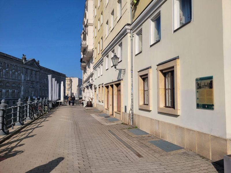
The view of the marker and the Spree River.
Berlin and Cölln were founded at a crossing on the River Spree - a natural intersection of trade routes traversing water and land. Soon, a dam allowed the river to be easily crossed. Mills were also built on the dam, providing an additional source of income for the two growing cities. The top of the dam also housed many busy stalls, which were gradually built over the years into proper stores. Colonnades were added in 1687 based on a design by J. A. Nehring. The Huguenots were granted permission to settle in Brandenburg in 1685 ( panel
Photographed by James Hulse, March 7, 2026
3. Mühlen der Bürokratie / Mills of Bureaucracy Marker
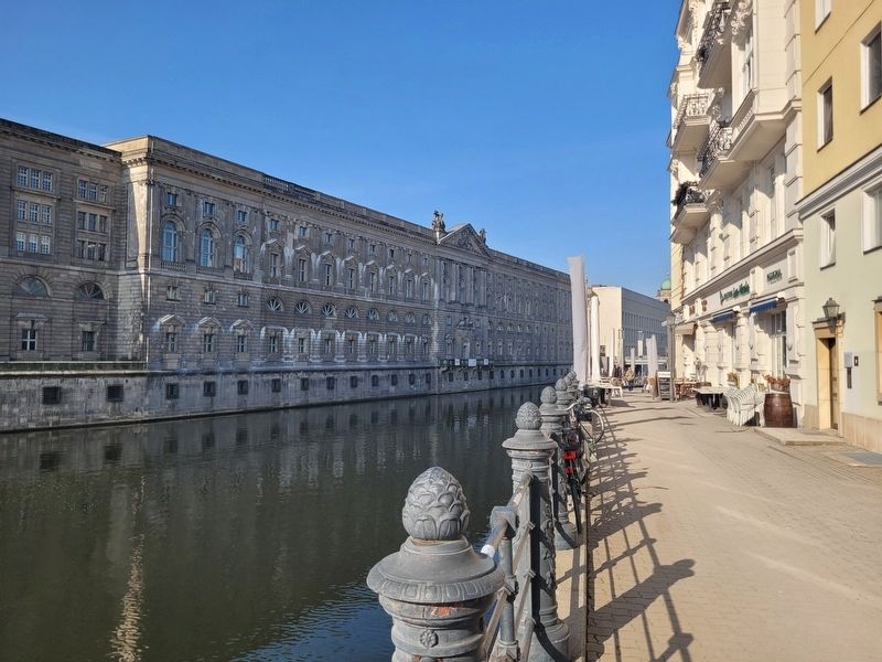
The view of the Spree River next to the marker.
Lithograph of Mühlendamm (around 1850)
Erected by Nikolai Viertel 1237. (Marker Number 19.)
Topics. This historical marker is listed in this topic list: Industry & Commerce. A significant historical year for this entry is 1936.
Location. 52° 30.953′ N, 13° 24.379′ E. Marker is in Berlin, in Mitte. It is in Berliner Innenstadt. It is on Spreeufer just south of Propststraße, on the right when traveling north. The marker is located on the building along the Spree River. Touch for map. Marker is at or near this postal address: Spreeufer 2, Berlin 10178, Germany. Touch for directions.

Regionally, it is in Europe, the European Union, Atlantic Europe, Central Europe, the Schengen Area, Western Europe, and the Western World. Historically, it finds itself in what was once the Holy Roman Empire, the former East Germany, and at the Berlin Wall.
Other nearby markers. At least 8 other markers are within walking distance of this marker: Eisernes Preußen & Tapfere Müller / Iron Prussia & Brave Müller (within shouting distance of this marker); August Eduard Grell (within shouting distance of this marker); Museum für Leibesübungen / Museum of Physical Exercise (within shouting distance of this marker); Ephraim-Palais / Ephraim Palace (within shouting distance of this marker); Knoblauchhaus / Knoblauch House (within shouting distance of this marker); Dynamik & Drachen / Dynamics & Dragons (within shouting distance of this marker); Geschäftshaus / Commercial Building (within shouting distance of this marker); Ephraims Mobilie / Ephraim’s Movable Palace (within shouting distance of this marker). Touch for a list and map of all markers in Berlin.
Credits. This page was last revised on May 10, 2026. It was originally submitted on May 8, 2026, by James Hulse of Medina, Texas. This page has been viewed 14 times since then. Photos: 1, 2, 3. submitted on May 10, 2026, by James Hulse of Medina, Texas.
