Gabbs in Nye County, Nevada — The American Mountains (Southwest)
Ione
from Wikimedia Commons, July 28, 2014
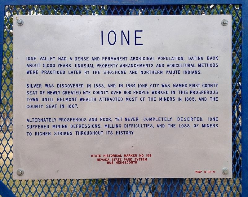
1. Ione Marker
Ione Valley had a dense and permanent aboriginal population, dating back about 5,000 years. Unusual property arrangements and agricultural methods were practiced later by the Shoshone and northern Paiute indians.
Silver was discovered in 1863, and in 1864 Ione City was named first county seat of newly created Nye County. Over 600 people worked in this prosperous town until Belmont wealth attracted most of the miners in 1865, and the county seat in 1867.
Alternately prosperous and poor, yet never completely deserted, Ione suffered mining depressions, milling difficulties, and the loss of miners to richer strikes throughout its history.
Erected 1971 by Nevada State Park System, Bus Hedgecorth. (Marker Number 159.)
Topics. This historical marker is listed in these topic lists: Industry & Commerce • Settlements & Settlers. A significant historical year for this entry is 1863.
Location. 38° 56.97′ N, 117° 35.11′ W. Marker is in Gabbs, Nevada, in Nye County. It is on Ione Summit Road (Nevada Route 844), on the right when traveling east. Touch for map. Marker is at or near this postal address:
this page online

Regionally, this marker is in the Mojave Desert and in Central Nevada. It is also in the American Southwest and in the Mountain West. Globally, it is in North America, the Western Hemisphere, the Western World, and the Anglosphere. Historically, it finds itself in what was once New Spain and also Mexico’s Alta California.
Other nearby markers. At least 8 other markers are within 5 miles of this marker, measured as the crow flies: The Clubhouse (approx. 4.8 miles away); Mine Superintendent's Home (approx. 4.8 miles away); Doctor's Office & Home (approx. 4.8 miles away); Stage Station (approx. 4.8 miles away); Charcoal Yard (approx. 4.8 miles away); Assay Office (approx. 4.8 miles away); Firmin Bruner (approx. 4.8 miles away); Company Store (approx. 4.8 miles away).
Related marker. Click here for another marker that is related to this marker. - Belmont ghost town.
from Wikimedia Commons, July 28, 2014
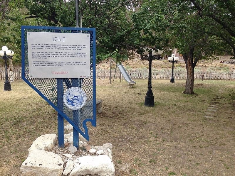
2. Ione Marker
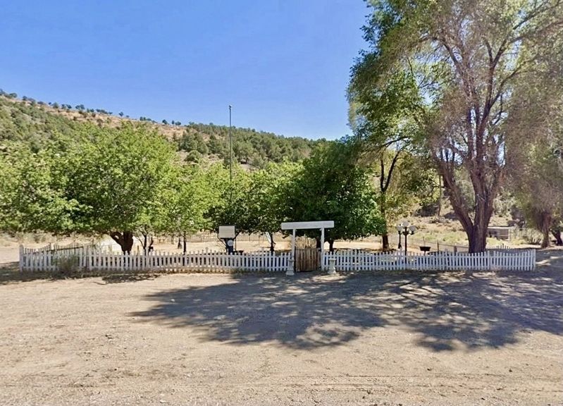
3. Ione Park and Marker
Credits. This page was last revised on August 20, 2026. It was originally submitted on May 10, 2026. This page has been viewed 29 times since then. Photos: 1, 2, 3. submitted on May 10, 2026, by Craig Baker of Sylmar, California.
