
Near Scottsburg in Scott County, Indiana — The American Midwest (Great Lakes)
Northern Boundary of Clark's Grant
Photographed by Tom Bosse, October 14, 2016
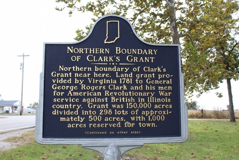
1. Northern Boundary of Clark's Grant Marker (Side 1)
Northern Boundary of Clark's Grant near here. Land grant provided by Virginia 1781 to General George Rogers Clark and his men for American Revolutionary War service against British in Illinois country. Grant was 150,000 acres divided into 298 lots of approximately 500 acres, with 1,000 acres reserved for town.
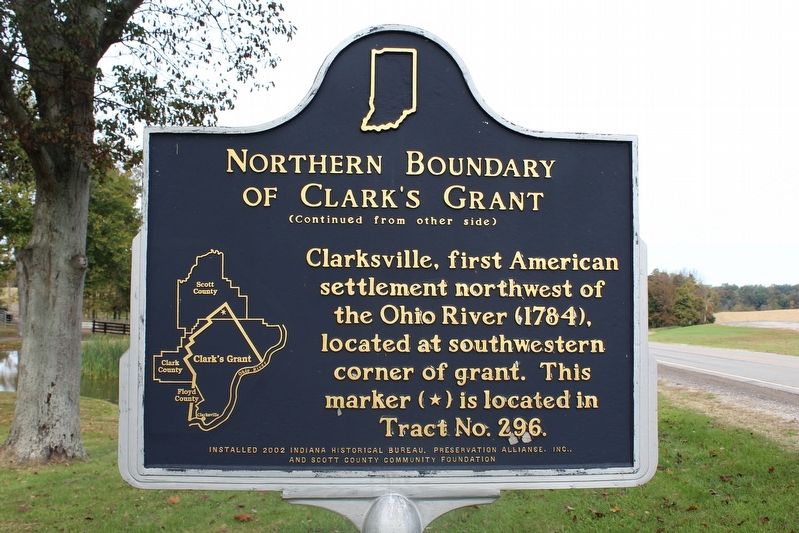
Clarksville, first American settlement northwest of the Ohio River (1784), located at southwestern corner of grant. This marker (*) is located in Tract No. 296.
Erected 2002 by Indiana Historical Bureau, Preservation Alliance, Inc., and Scoutt County Community Foundation.
Topics. This historical marker is listed in these topic lists: Patriots & Patriotism • Settlements & Settlers • War, US Revolutionary. A significant historical year for this entry is 1781.
Location. 38° 37.647′ N, 85° 40.966′ W. Marker is near Scottsburg, Indiana, in Scott County. It is at the intersection of State Road 3 and East Kinderhook Road, on the left when traveling north on State Road 3. Touch for map. Marker is at or near this postal address: 5039 E Kinderhook Rd, Scottsburg IN 47170, United States of America. Touch for directions.

Regionally,
this page online
Other nearby markers. At least 8 other markers are within 4 miles of this marker, measured as the crow flies: John Kimberlin Farm (approx. 2.8 miles away); Site of Western Eagle (approx. 3½ miles away); Morgan's Raid (approx. 3½ miles away); A Night in a Hotel (approx. 3½ miles away); Lexington First County Seat (approx. 3½ miles away); Joseph Hooker Shea (approx. 3.6 miles away); Site of William Hayden English Home (approx. 3.7 miles away); Town Creek Encampment (approx. 3.7 miles away).
Photographed by Tom Bosse, October 14, 2016
2. Northern Boundary of Clark's Grant Marker (Side 2)
Photographed by Tom Bosse
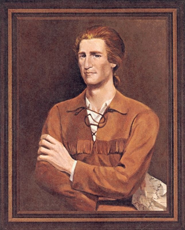
3. George Rogers Clark
Photographed by Tom Bosse, October 14, 2016
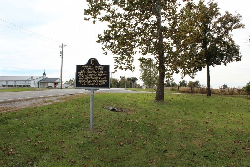
4. Northern Boundary of Clark's Grant Marker
Credits. This page was last revised on May 11, 2026. It was originally submitted on November 15, 2016, by Tom Bosse of Jefferson City, Tennessee. This page has been viewed 756 times since then and 36 times this year. Last updated on May 10, 2026, by Tom Bosse of Jefferson City, Tennessee. Photos: 1, 2, 3, 4. submitted on November 15, 2016, by Tom Bosse of Jefferson City, Tennessee. • Devry Becker Jones was the editor who published this page.
