Berliner Innenstadt in Mitte, Germany — Northeast German Plain (The European Plain)
Rotes Rathaus
⎯⎯⎯
Red Town Hall
Photographed by James Hulse, March 7, 2026
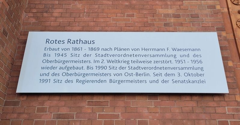
1. Rotes Rathaus / Red Town Hall Marker

Erbaut von 1861 bis 1869 nach Plänen von Hermann F. Waesemann. Bis 1945 Sitz der Stadtverordnetenversammlung und des Oberbürgermeisters. Im 2. Weltkrieg teilweise zerstört. 1951–1956 wieder aufgebaut. Bis 1990 Sitz der Stadtverordnetenversammlung und des Oberbürgermeisters von Ost-Berlin. Seit dem 3. Oktober 1991 Sitz des Regierenden Bürgermeisters und der Senatskanzlei.
Built from 1861 to 1869 according to plans by Hermann F. Waesemann. Until 1945, it was the seat of the city council assembly and the lord mayor. Partially destroyed during the Second World War, it was rebuilt from 1951 to 1956. Until 1990, it served as the seat of the city council assembly and the lord mayor of East Berlin. Since October 3, 1991, it has been the seat of the Governing Mayor and the Senate Chancellery.
Topics. This historical marker is listed in this topic list: Notable Buildings. A significant historical date for this entry is October 3, 1991.
Location. 52° 31.116′ N, 13° 24.492′ E. Marker is in Berlin, in Mitte. It is in Berliner Innenstadt. It is at the intersection of Rathausstraße and Spandauer Str., on the right
this page online

Regionally, it is in Europe, the European Union, Atlantic Europe, Central Europe, the Schengen Area, Western Europe, and the Western World. Historically, it finds itself in what was once the Holy Roman Empire, the former East Germany, and at the Berlin Wall.
Other nearby markers. At least 8 other markers are within walking distance of this marker: Elementweise / Prefabricated Construction (about 90 meters away, measured in a direct line); Das Kaufhaus Israel, ein Opfer der Nazis / The Israel Department Store, a Victim of the Nazis (about 120 meters away); Martin Heinrich Klaproth (about 150 meters away); Wasserkaskaden am Fernsehturm / Water Cascades at the Television Tower (about 150 meters away); Gewiss und ungerecht / Certain and Unjust (about 150 meters away); Zum Nußbaum (about 180 meters away); Berliner Originale / Berlin Originals (about 180 meters away); Titel, Namen & Spitznamen / Titles, Names & Nicknames (about 180 meters away). Touch for a list and map
Photographed by James Hulse, March 7, 2026
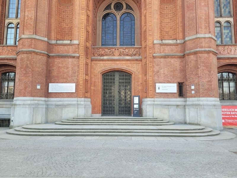
2. Rotes Rathaus / Red Town Hall Marker
The marker at the main entrance to the building.
Photographed by James Hulse, March 7, 2026
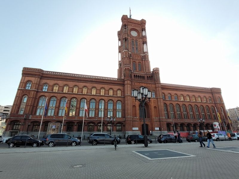
3. Rotes Rathaus / Red Town Hall Marker
The front view of the building from the northwest.
Photographed by James Hulse, March 7, 2026
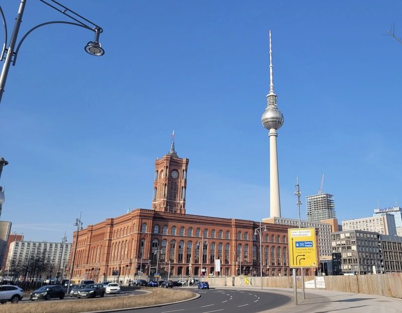
4. Rotes Rathaus / Red Town Hall Marker
The view of the building from the south with the Berlin TV Tower in the background.
Credits. This page was last revised on May 11, 2026. It was originally submitted on May 10, 2026, by James Hulse of Medina, Texas. This page has been viewed 11 times since then. Photos: 1, 2, 3, 4. submitted on May 11, 2026, by James Hulse of Medina, Texas.
