Doniphan in Ripley County, Missouri — The American Midwest (Upper Plains)
Veterans Memorial
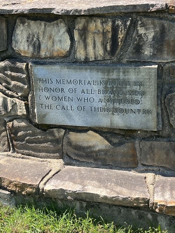
Photographed by Thomas Smith, May 11, 2026
1. Veterans Memorial
This memorial is built in honor of all brave men & women who answered the call of their country
Dedicated 1988 to P.O.W. & M.IA.'s not forgotten
Topics. This memorial is listed in this topic list: Military.
Location. 36° 37.588′ N, 90° 48.299′ W. Memorial is in Doniphan, Missouri, in Ripley County. It is on Ball Park Road (Local Road 160 E-4) 0.7 miles east of East Summit Street, on the right when traveling east. J. A. Ashby VFW Post 3485. Touch for map. Memorial is in this post office area: Doniphan MO 63935, United States of America. Touch for directions.

Regionally, this memorial is in Southeast Missouri. It is also in the American Ozarks, in the Lewis & Clark Corridor, and in the Corn Belt. Globally, it is in North America, the Western Hemisphere, the Western World, and the Anglosphere. Historically, it finds itself in what was once the territory of the Mississippian Culture, the Louisiana Purchase, and the Antebellum South.
Other nearby markers. At least 8 other markers are within 2 miles of this marker, measured as the crow flies: Ripley County Veterans Memorial
this page online

Photographed by Thomas Smith, May 11, 2026
2. Veterans Memorial

Photographed by Thomas Smith, May 11, 2026
3. Veterans Memorial

Photographed by Thomas Smith, May 11, 2026
4. Veterans Memorial
Credits. This page was last revised on May 13, 2026. It was originally submitted on May 11, 2026, by Thomas Smith of Waterloo, Ill. This page has been viewed 15 times since then. Photos: 1, 2, 3, 4. submitted on May 11, 2026, by Thomas Smith of Waterloo, Ill. • Devry Becker Jones was the editor who published this page.
