Near Alvarado in Johnson County, Texas — The American South (West South Central)
A.A. and Susanna Head Homestead
Photographed by James Hulse, May 14, 2026
1. A.A. and Susanna Head Homestead Marker
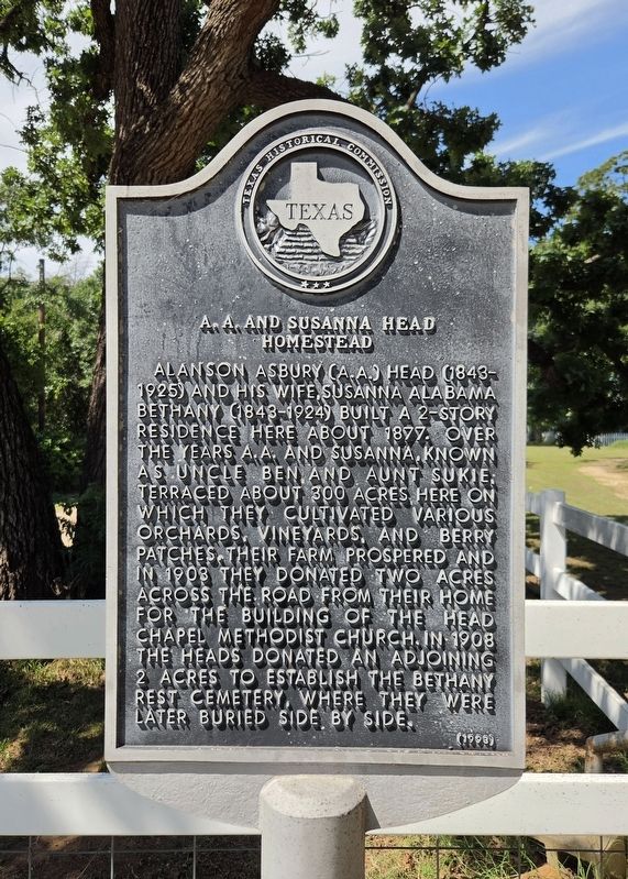
Alanson Asbury (A.A.) Head (1843-1925) and his wife, Susanna Alabama Bethany (1843-1924) built a 2-story residence here about 1877. Over the years A.A. and Susanna, known as Uncle Ben and Aunt Sukie, terraced about 300 acres here on which they cultivated various orchards, vineyards, and berry patches. Their farm prospered and in 1903 they donated two acres across the road from their home for the building of the Head Chapel Methodist Church. In 1908 the Heads donated an adjoining 2 acres to establish the Bethany Rest Cemetery, where they were later buried side by side.
Erected 1998 by Texas Historical Commission. (Marker Number 47.)
Topics. This historical marker is listed in these topic lists: Horticulture & Forestry • Settlements & Settlers. A significant historical year for this entry is 1877.
Location. 32° 24.974′ N, 97° 16.079′ W. Marker is near Alvarado, Texas, in Johnson County. It is on County Road 810 0.7 miles north of E Henderson Street (U.S. 67), on the right when traveling north. Touch for map. Marker is at or near this postal address: 709 County Rd 810 N, Alvarado TX 76009, United States of America.
this page online

Regionally, this marker is in the Prairies & Lakes Region and in the Dallas-Fort Worth Metropolitan Area. Globally, it is in North America, a Gulf of Mexico state, the Western Hemisphere, the Western World, and the Anglosphere. Historically, it finds itself in what was once New Spain, the Republic of Texas, and one of the Confederate States of America.
Other nearby markers. At least 8 other markers are within 4 miles of this marker, measured as the crow flies: Bethany Rest Cemetery (about 400 feet away, measured in a direct line); Site of Norman Springs & Norman Grove (approx. 2.2 miles away); Johnson County Pioneers and Old Settlers Reunion (approx. 2.7 miles away); Alvarado Glenwood Cemetery (approx. 2.7 miles away); Site of Ezell-McLeroy Cotton Gin (approx. 3 miles away); Balch-Senterwood Cemetery (approx. 3.1 miles away); Site of Alvarado School, Church and Union Building (approx. 3.2 miles away); Balch Cemetery (approx. 3.2 miles away). Touch for a list and map of all markers in Alvarado.
Photographed by James Hulse, May 14, 2026
2. A.A. and Susanna Head Homestead Marker
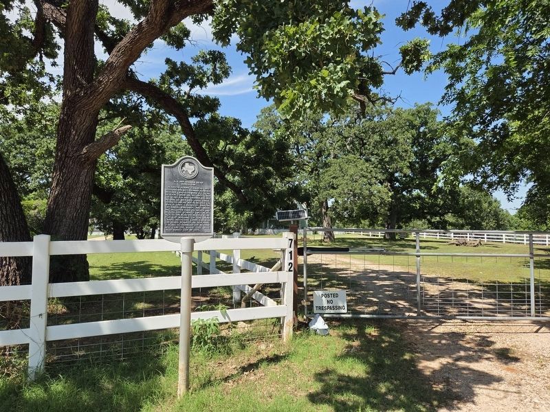
The marker is located near the street, beside the front gate of the private residence.
Photographed by James Hulse, May 14, 2026
3. A.A. and Susanna Head Homestead Marker
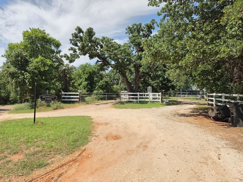
The view of the marker from the street.
Credits. This page was last revised on May 15, 2026. It was originally submitted on May 14, 2026, by James Hulse of Medina, Texas. This page has been viewed 42 times since then. Photos: 1, 2, 3. submitted on May 15, 2026, by James Hulse of Medina, Texas.
