Alvarado in Johnson County, Texas — The American South (West South Central)
Site of Ezell-McLeroy Cotton Gin
Photographed by James Hulse, May 14, 2026
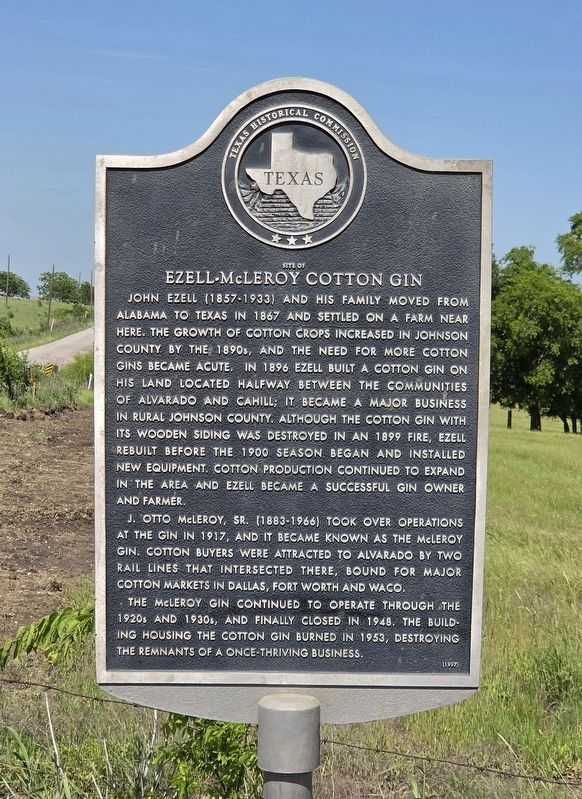
1. Site of Ezell-McLeroy Cotton Gin Marker
John Ezell (1857–1933) and his family moved from Alabama to Texas in 1867 and settled on a farm near here. The growth of cotton crops increased in Johnson County by the 1890s, and the need for more cotton gins became acute. In 1896, Ezell built a cotton gin on his land located halfway between the communities of Alvarado and Cahill; it became a major business in rural Johnson County. Although the cotton gin with its wooden siding was destroyed in an 1899 fire, Ezell rebuilt before the 1900 season began and installed new equipment. Cotton production continued to expand in the area, and Ezell became a successful gin owner and farmer.
J. Otto McLeroy, Sr. (1883–1966), took over operations at the gin in 1917, and it became known as the McLeroy Gin. Cotton buyers were attracted to Alvarado by two rail lines that intersected there, bound for major cotton markets in Dallas, Fort Worth and Waco.
The McLeroy Gin continued to operate through the 1920s and 1930s and finally closed in 1948. The building housing the cotton gin burned in 1953, destroying the remnants of a once-thriving business.
Erected 1997 by Texas Historical
this page online
Topics. This historical marker is listed in this topic list: Industry & Commerce. A significant historical year for this entry is 1867.
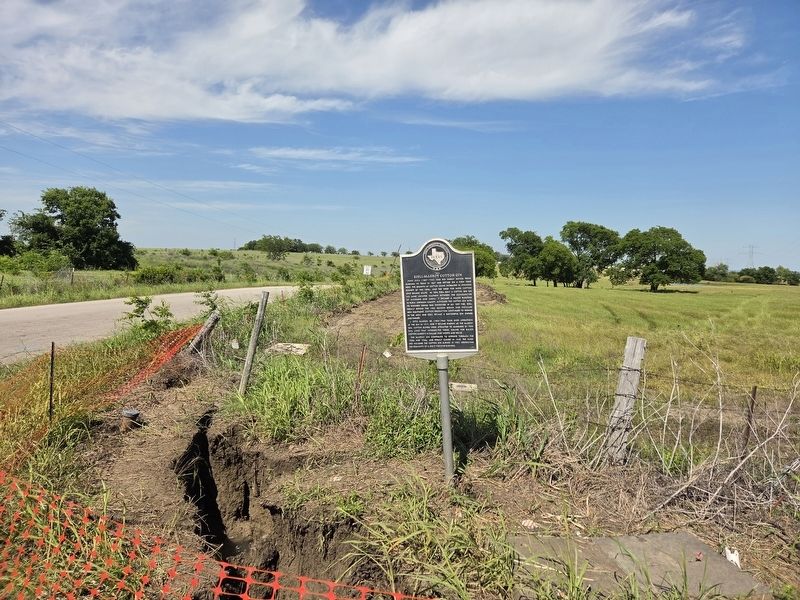
Location. 32° 26.255′ N, 97° 13.354′ W. Marker is in Alvarado, Texas, in Johnson County. It is at the intersection of North Cummings Drive and County Road 604, on the right when traveling north on North Cummings Drive. Touch for map. Marker is in this post office area: Alvarado TX 76009, United States of America. Touch for directions.

Regionally, this marker is in the Prairies & Lakes Region and in the Dallas-Fort Worth Metropolitan Area. Globally, it is in North America, a Gulf of Mexico state, the Western Hemisphere, the Western World, and the Anglosphere. Historically, it finds itself in what was once New Spain, the Republic of Texas, and one of the Confederate States of America.
Other nearby markers. At least 8 other markers are within 3 miles of this marker, measured as the crow flies: Site of Norman Springs & Norman Grove (approx. 1½ miles away); First Baptist Church of Alvarado (approx. 1.6 miles away); Alvarado Glenwood Cemetery (approx. 1.9 miles
Photographed by James Hulse, May 14, 2026
2. Site of Ezell-McLeroy Cotton Gin Marker
Credits. This page was last revised on May 16, 2026. It was originally submitted on May 15, 2026, by James Hulse of Medina, Texas. This page has been viewed 29 times since then. Photos: 1, 2. submitted on May 16, 2026, by James Hulse of Medina, Texas.
