Alvarado in Johnson County, Texas — The American South (West South Central)
Cahill Methodist Church
Photographed by James Hulse, May 14, 2026
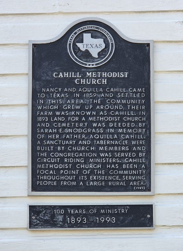
1. Cahill Methodist Church Marker
Nancy and Aquilla Cahill came to Texas in 1859 and settled in this area. The community which grew up around their farm was known as Cahill. In 1893, land for a Methodist church and cemetery was deeded by Sarah E. Snodgrass in memory of her father, Aquilla Cahill. A sanctuary and tabernacle were built by church members, and the congregation was served by circuit-riding ministers. Cahill Methodist Church has been a focal point of the community throughout its existence, serving people from a large rural area.
1893–1993
Erected 1989 by Texas Historical Commission. (Marker Number 621.)
Topics. This historical marker is listed in this topic list: Religion & Religious Structures. A significant historical year for this entry is 1859.
Location. 32° 28.389′ N, 97° 13.626′ W. Marker is in Alvarado, Texas, in Johnson County. It is at the intersection of Farm to Market Road 917 and County Road 604, on the left when traveling east on Road 917. Touch for map. Marker is at or near this postal address: 8501 FM917, Alvarado TX 76009, United States of America. Touch for directions.

Regionally, this marker is
this page online
Other nearby markers. At least 8 other markers are within 5 miles of this marker, measured as the crow flies: Site of Ezell-McLeroy Cotton Gin (approx. 2½ miles away); Bethesda Community (approx. 3.3 miles away); Site of Norman Springs & Norman Grove (approx. 3.9 miles away); First Baptist Church of Alvarado (approx. 4 miles away); Alvarado Glenwood Cemetery (approx. 4.4 miles away); Johnson County Pioneers and Old Settlers Reunion (approx. 4½ miles away); A.A. and Susanna Head Homestead (approx. 4.6 miles away); Bethany Rest Cemetery (approx. 4.7 miles away). Touch for a list and map of all markers in Alvarado.
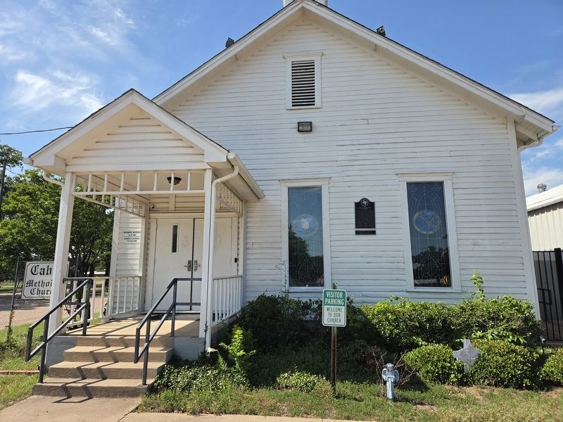
Photographed by James Hulse, May 14, 2026
2. Cahill Methodist Church Marker
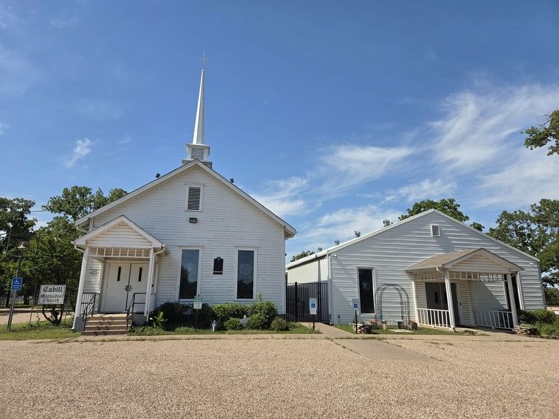
Photographed by James Hulse, May 14, 2026
3. Cahill Methodist Church Marker
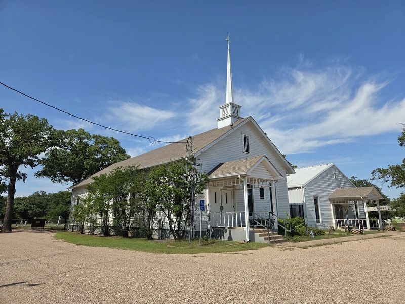
Photographed by James Hulse, May 14, 2026
4. Cahill Methodist Church Marker
Credits. This page was last revised on May 16, 2026. It was originally submitted on May 15, 2026, by James Hulse of Medina, Texas. This page has been viewed 17 times since then. Photos: 1, 2, 3, 4. submitted on May 16, 2026, by James Hulse of Medina, Texas.
