Burleson in Johnson County, Texas — The American South (West South Central)
Bethesda Community
Photographed by James Hulse, May 14, 2026
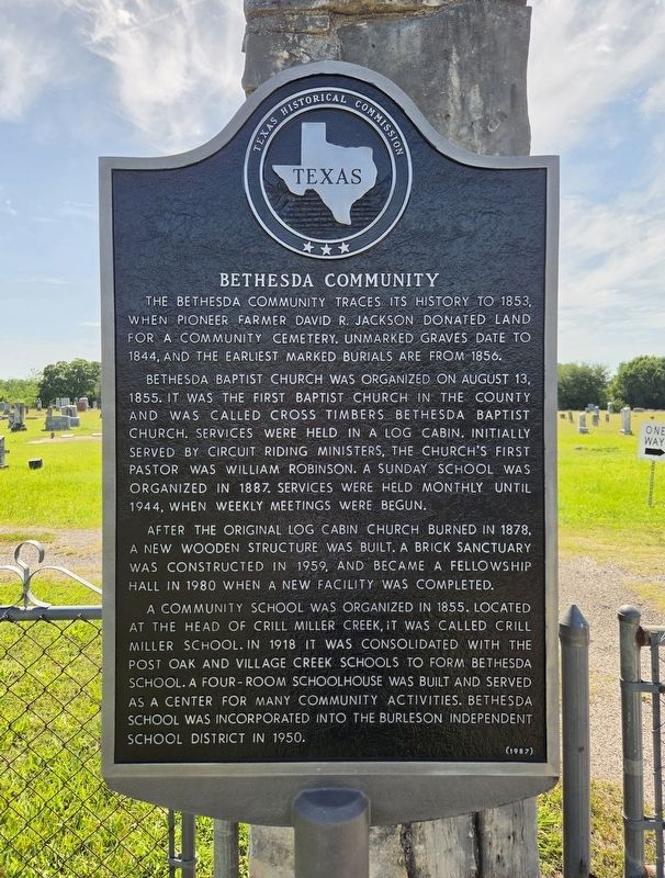
1. Bethesda Community Marker
The Bethesda community traces its history to 1853, when pioneer farmer David R. Jackson donated land for a community cemetery. Unmarked graves date to 1844, and the earliest marked burials are from 1856.
Bethesda Baptist Church was organized on August 13, 1855. It was the first Baptist church in the county and was called Cross Timbers Bethesda Baptist Church. Services were held in a log cabin. Initially served by circuit riding ministers, the church's first pastor was William Robinson. A Sunday school was organized in 1887. Services were held monthly until 1944, when weekly meetings were begun.
After the original log cabin church burned in 1878, a new wooden structure was built. A brick sanctuary was constructed in 1959, and became a fellowship hall in 1980 when a new facility was completed.
A community school was organized in 1855. Located at the head of Crill Miller Creek, it was called Crill Miller School. In 1918 it was consolidated with the Post Oak and Village Creek schools to form Bethesda School. A four-room schoolhouse was built and served as a center for many community activities. Bethesda School was
this page online
Erected 1987 by Texas Historical Commission. (Marker Number 395.)
Topics. This historical marker is listed in these topic lists: Education • Religion & Religious Structures • Settlements & Settlers. A significant historical date for this entry is August 13, 1855.
Location. 32° 29.134′ N, 97° 16.911′ W. Marker is in Burleson, Texas, in Johnson County. It is at the intersection of West Bethesda Road and S Burleson Blvd, on the right when traveling west on West Bethesda Road. Touch for map. Marker is at or near this postal address: 100 W Bethesda Rd, Burleson TX 76028, United States of America. Touch for directions.

Regionally, this marker is in the Prairies & Lakes Region and in the Dallas-Fort Worth Metropolitan Area. Globally, it is in North America, a Gulf of Mexico state, the Western Hemisphere, the Western World, and the Anglosphere. Historically, it finds itself in what was once New Spain, the Republic of Texas, and one of the Confederate States of America.
Other nearby markers. At least 8 other markers are within 5 miles of this marker, measured

Photographed by James Hulse, May 14, 2026
2. Bethesda Community Marker
The marker is located next to the left column at the entrance to the cemetery.
Photographed by James Hulse, May 14, 2026
3. Bethesda Community Marker
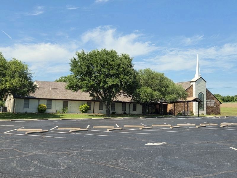
The Bethesda Baptist Church is located next to the marker and cemetery.
Credits. This page was last revised on May 16, 2026. It was originally submitted on May 15, 2026, by James Hulse of Medina, Texas. This page has been viewed 25 times since then. Photos: 1, 2, 3. submitted on May 16, 2026, by James Hulse of Medina, Texas.
