
Joshua in Johnson County, Texas — The American South (West South Central)
Methodism in Joshua
Photographed by James Hulse, May 14, 2026
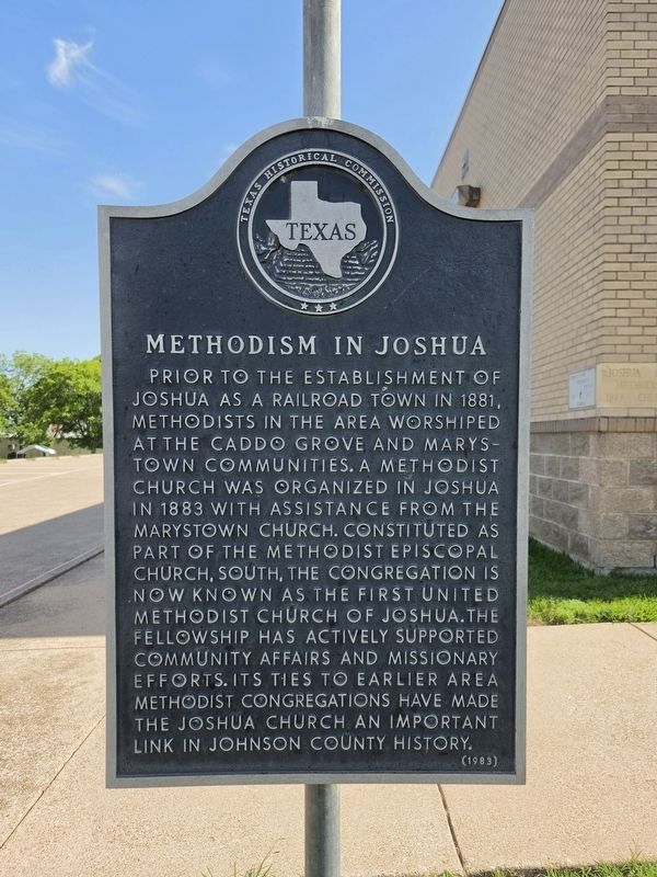
1. Methodism in Joshua Marker
Prior to the establishment of Joshua as a railroad town in 1881, Methodists in the area worshiped at the Caddo Grove and Marystown communities. A Methodist church was organized in Joshua in 1883 with assistance from the Marystown church. Constituted as part of the Methodist Episcopal Church, South, the congregation is now known as the First United Methodist Church of Joshua.
The fellowship has actively supported community affairs and missionary efforts. Its ties to earlier area Methodist congregations have made the Joshua church an important link in Johnson County history.
Erected 1983 by Texas Historical Commission. (Marker Number 3351.)
Topics. This historical marker is listed in this topic list: Religion & Religious Structures. A significant historical year for this entry is 1881.
Location. 32° 28.153′ N, 97° 23.145′ W. Marker is in Joshua, Texas, in Johnson County. It is on Paula Street west of N Broadway Street (State Highway 174), on the left when traveling west. Touch for map. Marker is at or near this postal address: 114 Paula St, Joshua TX 76058, United States of America. Touch for directions.

Regionally,
this page online
Other nearby markers. At least 8 other markers are within 7 miles of this marker, measured as the crow flies: Union Hill Presbyterian Church and Cemetery (approx. 2.2 miles away); Marystown Cemetery (approx. 3.9 miles away); Oliver Perry Arnold (approx. 4.6 miles away); Site of Buchanan (approx. 5.4 miles away); Mizpah Gate (approx. 6.1 miles away); First Baptist Church (approx. 6.1 miles away); Bethesda Community (approx. 6.2 miles away); Named in Honor of Vera Calvin (approx. 6.3 miles away).

Photographed by James Hulse, May 14, 2026
2. Methodism in Joshua Marker
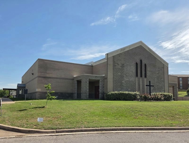
The view of the marker at the corner of the church building.
Photographed by James Hulse, May 14, 2026
3. Methodism in Joshua Marker
Joshua Methodist Church
Credits. This page was last revised on May 16, 2026. It was originally submitted on May 15, 2026, by James Hulse of Medina, Texas. This page has been viewed 28 times since then. Photos: 1, 2, 3. submitted on May 16, 2026, by James Hulse of Medina, Texas.
