
Polytechnic Heights in Fort Worth in Tarrant County, Texas — The American South (West South Central)
Administration Building
Photographed by James Hulse, May 15, 2026
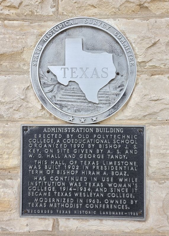
1. Administration Building Marker
Erected by old Polytechnic College, a coeducational school organized in 1890 by Bishop J.S. Key, on site given by A.S. and W.D. Hall and George Tandy. This hall, of Texas limestone, was built in 1902 in the presidential term of Bishop Hiram A. Boaz. Has continued in use while institution was Texas Woman's College, 1914-1934, and since it became Texas Wesleyan College. Modernized in 1963. Owned by Texas Methodist Conferences.
Erected 1966 by State Historical Survey Committee. (Marker Number 5986.)
Topics. This historical marker is listed in this topic list: Education. A significant historical year for this entry is 1890.
Location. 32° 43.947′ N, 97° 16.817′ W. Marker is in Fort Worth, Texas, in Tarrant County. It is in Polytechnic Heights. It is at the intersection of Wesleyan Street and Avenue D on Wesleyan Street. The marker is located at the Administration Building’s west entrance on the Texas Wesleyan College campus. Touch for map. Marker is at or near this postal address: 1205 Wesleyan St, Fort Worth TX 76105, United States of America. Touch for directions.

Regionally,
this page online
Other nearby markers. At least 8 other markers are within 3 miles of this marker, measured as the crow flies: Polytechnic Cemetery (approx. ¼ mile away); Meadowbrook Methodist Church (approx. one mile away); Ayres Cemetery (approx. 1.2 miles away); William Alfred Sanderson (approx. 1.2 miles away); Mt. Zion Baptist Church (approx. 2.2 miles away); Calvin Littlejohn (approx. 2.2 miles away); Terrell Heights (approx. 2.2 miles away); St. Andrews United Methodist Church of Fort Worth (approx. 2.3 miles away). Touch for a list and map of all markers in Fort Worth.
Photographed by James Hulse, May 15, 2026
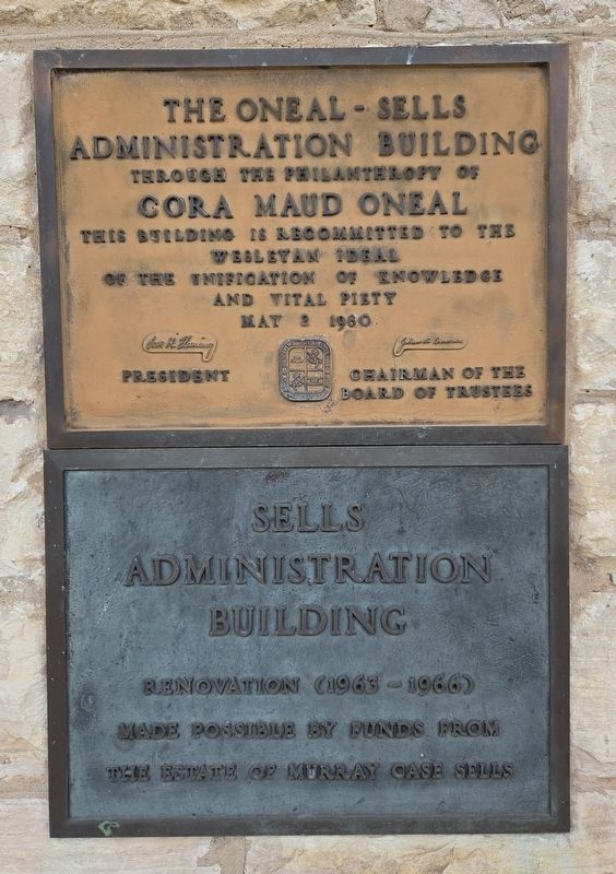
2. Administration Building Marker
Supplemental plaques on the opposite side of the front entrance.

Photographed by James Hulse, May 15, 2026
3. Administration Building Marker
The front entrance to the Administration Building.
Photographed by James Hulse
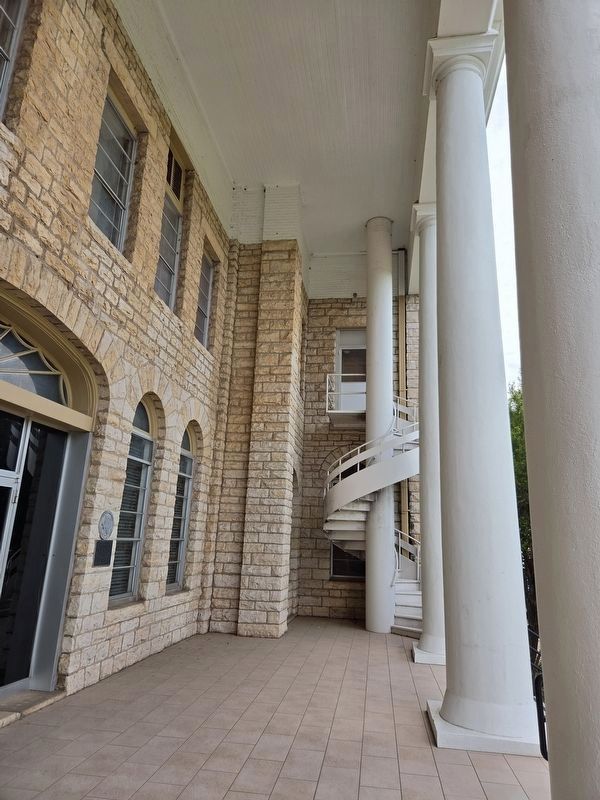
4. Administration Building Marker
The building features two distinctive spiral staircases at the front entrance.
Photographed by James Hulse, May 15, 2026
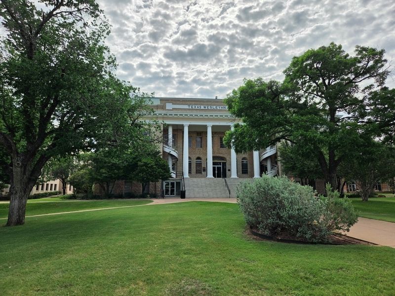
5. Administration Building Marker
The view of the building from the street.
Credits. This page was last revised on May 16, 2026. It was originally submitted on May 16, 2026, by James Hulse of Medina, Texas. This page has been viewed 20 times since then. Photos: 1, 2, 3, 4, 5. submitted on May 16, 2026, by James Hulse of Medina, Texas.
