Fort Hill in East Providence in Providence County, Rhode Island — The American Northeast (New England)
Four Cannon Fort
| — | East Bay Bike Path | — |
Photographed by G.W.Bartlett, May 15, 2026
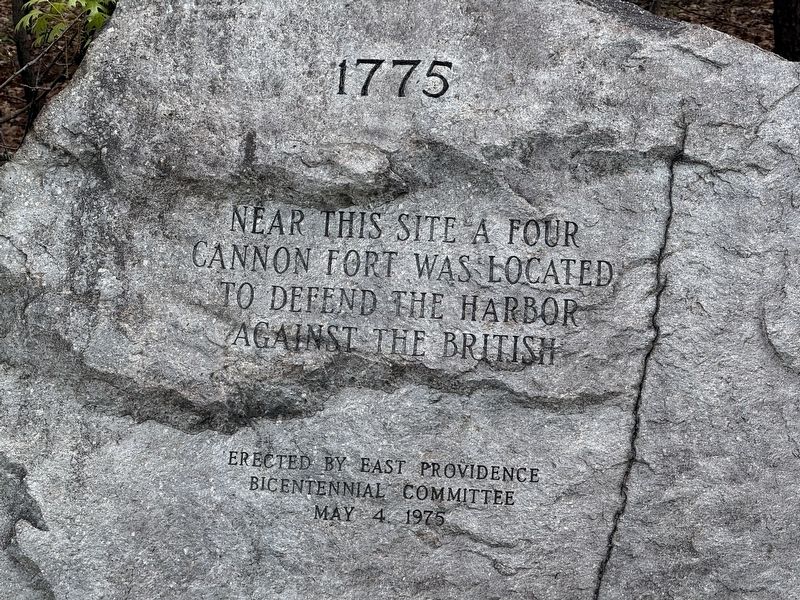
1. Four Cannon Fort Marker
Near this site a four
cannon fort was located
to defend the harbor
against the British
Erected 1975 by East Providence Bicentennial Committee.
Topics. This memorial is listed in these topic lists: Forts and Castles • War, US Revolutionary. A significant historical year for this entry is 1775.
Location. 41° 48.833′ N, 71° 23.233′ W. Memorial is in East Providence, Rhode Island, in Providence County. It is in Fort Hill. It is at the intersection of Veterans Memorial Parkway and Mercer Street, on the right when traveling north on Veterans Memorial Parkway. Touch for map. Memorial is at or near this postal address: 66 Mercer St, East Providence RI 02914, United States of America. Touch for directions.

Regionally, this memorial is in Greater Providence and on Narragansett Bay. It is also in the American Northeast, in New England, and on the Eastern Seaboard. Globally, it is in the North Atlantic Region, North America, the Western Hemisphere, the Western World, and the Anglosphere. Historically, it finds itself in what was once one of the original Thirteen Colonies.
Other nearby markers. At least
this page online

Photographed by G.W.Bartlett, May 15, 2026
2. Four Cannon Fort Marker

Photographed by G.W.Bartlett, May 15, 2026
3. Four Cannon Fort Marker
Credits. This page was last revised on May 25, 2026. It was originally submitted on May 16, 2026, by G.W.Bartlett of Hingham, Massachusetts. This page has been viewed 17 times since then. Photos: 1, 2, 3. submitted on May 16, 2026, by G.W.Bartlett of Hingham, Massachusetts. • Michael Herrick was the editor who published this page.
