Stoney Point in Lakeshore in Essex County, Ontario — Central Canada (North America)
The Foundation of Stoney Point
⎯⎯⎯
La Fondation de Pointe aux Roches
Photographed by Tim Boyd, May 14, 2026
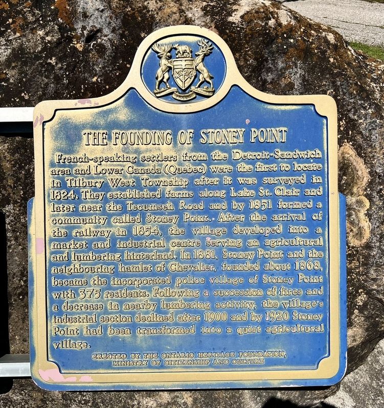
1. The Foundation of Stoney Point Marker

French-speaking settlers from the Detroit-Sandwich area and Lower Canada (Quebec) were the first to locate in Tilbury West Township after it was surveyed in 1824. They established farms along Lake St. Clair and later near the Tecumseh Road and by 1851 formed a community called Stoney Point. After the arrival of the railway in 1854, the village developed into a market and industrial centre serving an agricultural and lumbering hinterland. In 1881, Stoney Point and the neighbouring hamlet of Chevalier, founded about 1868, became the incorporated police village of Stoney Point with 375 residents. Following a succession of fires and a decrease in nearby lumbering activity, the village's industrial section declined after 1900 and by 1920 Stoney Point had been transformed into a quiet agricultural village.
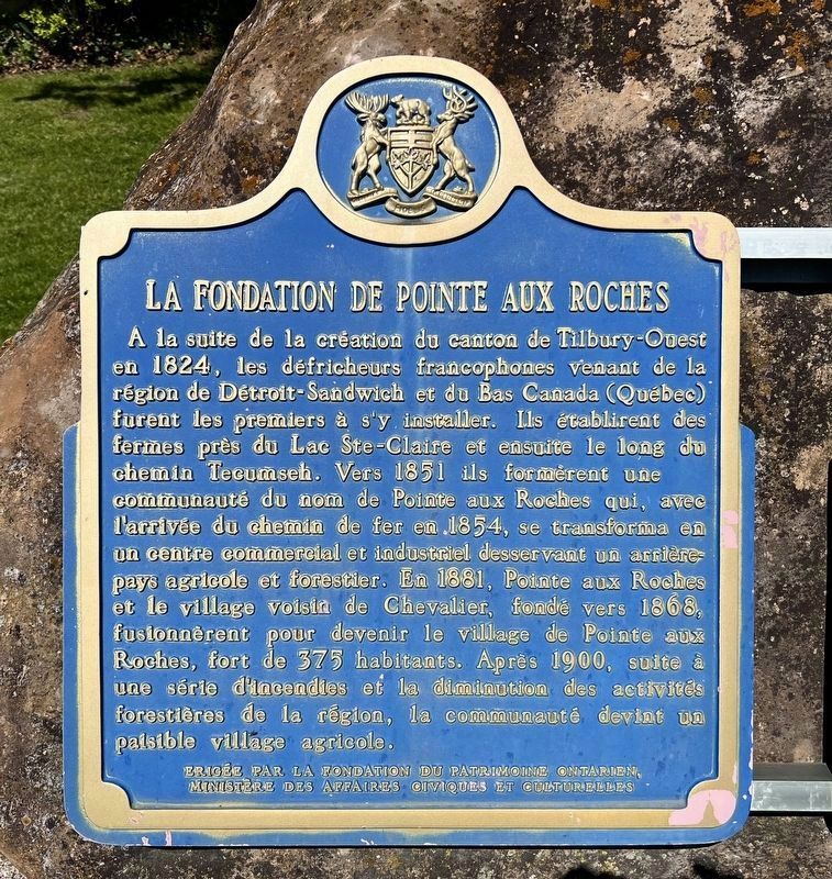
A la suite de la création du canton de Tilbury-Ouest en 1824, les défricheurs francophones venant de la région de Détroit-Sandwich et du Bas Canada (Québec) furent les premiers à s'y installer. Ils établirent des fermes près du
this page online
Erected by Ontario Heritage Foundation.
Topics and series. This historical marker is listed in this topic list: Settlements & Settlers. In addition, it is included in the Canada, Ontario Heritage Trust series list. A significant historical year for this entry is 1824.
Location. 42° 18.298′ N, 82° 33.017′ W. Marker is in Lakeshore, Ontario, in Essex County. It is in Stoney Point. It is on Tecumseh Road 0.1 kilometers west of Comber Sideroad, on the right when traveling west. Touch for map. Marker is at or near this postal address: 6736 Tecumseh Road,
Photographed by Tim Boyd, May 14, 2026
2. La Fondation de Pointe aux Roches Marker

Regionally, this marker is in the Southwest Ontario Area and in Southwestern Ontario. It is also in Central Canada. Globally, it is in North America, on the Great Lakes, in the Western Hemisphere, in the Western World, and in the Anglosphere. Historically, it finds itself in what was once a British colony, the Viceroyalty of New France, the Haudenosaunee (Iroquois) Confederacy, and Rupert’s Land.
Other nearby markers. At least 3 other markers are within 14 kilometers of this marker, measured as the crow flies: 6305 Main Street (approx. 7.8 kilometers away); Thames River Lighthouse (approx. 8.1 kilometers away); The Founding of Belle River / La Fondation de Belle-Rivière (approx. 13.4 kilometers away).
Photographed by Tim Boyd, May 14, 2026
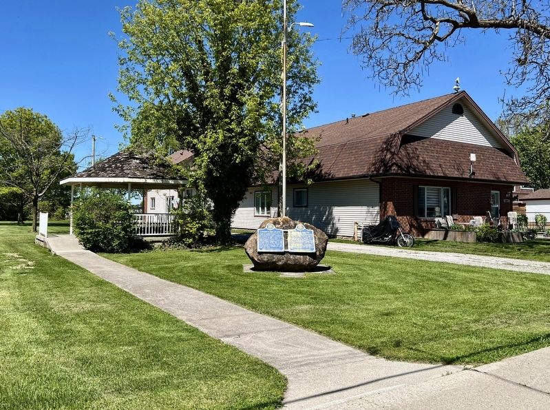
3. The Foundation of Stoney Point/La Fondation de Pointe aux Roches Marker
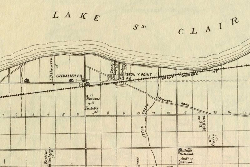
4. Stoney Point and area in 1882
Source: University of Windsor (public domain)
Credits. This page was last revised on May 17, 2026. It was originally submitted on May 16, 2026, by Tim Boyd of Hamilton, Ontario. This page has been viewed 24 times since then. Photos: 1, 2, 3, 4. submitted on May 16, 2026, by Tim Boyd of Hamilton, Ontario. • Andrew Ruppenstein was the editor who published this page.
