Belle River in Essex County, Ontario — Central Canada (North America)
The Founding of Belle River
⎯⎯⎯
La Fondation de Belle-Rivière
Photographed by Tim Boyd, May 14, 2026
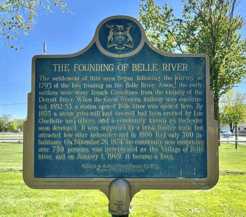
1. The Founding of Belle River side of marker

The settlement of this area began following the survey in 1793 of the lots fronting on the Belle River. Among the early settlers were many French Canadians from the vicinity of the Detroit River. When the Great Western Railway was constructed, 1852-53, a station named Belle River was opened here. By 1855 a steam grist-mill and sawmill had been erected by Luc Ouellette and others, and a community known as Rochester soon developed. It was supported by a brisk lumber trade but attracted few other industries and in 1866 had only 300 inhabitants. On November 26, 1874, the community, now comprising over 750 persons, was incorporated as the Village of Belle River, and on January 1, 1969, it became a Town.
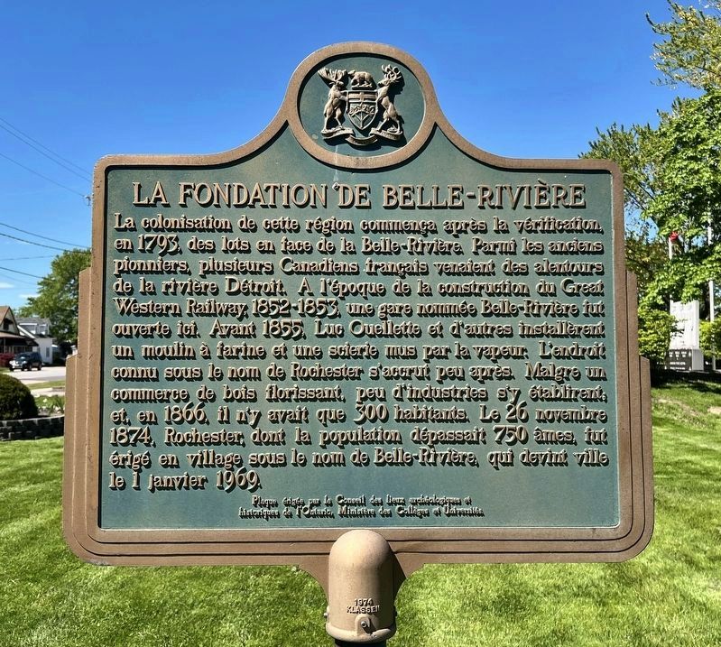
La colonisation de cette région commença après la vérification, en 1793, des lots en face de la Belle-Rivière. Parmi les anciens pionniers, plusieurs Canadiens français venaient des alentours de la rivière Détroit. A l'époque de la construction du Great Western Railway, 1852-1853, une gare nommée Belle Rivière fut ouverte ici. Avant 1855 Luc Ouellette
this page online
Erected by Ontario Archeological and Historic Sites Board.
Topics and series. This historical marker is listed in this topic list: Settlements & Settlers. In addition, it is included in the Canada, Ontario Heritage Trust series list. A significant historical year for this entry is 1793.
Location. 42° 17.458′ N, 82° 42.699′ W. Marker is in Belle River, Ontario, in Essex County. It is at the intersection of South Street (County Road 27) and St. Peter Street, on the left when traveling south on South Street (County Road 27). Touch for map. Marker is at or near this postal address: 270 County Road 27, Belle River ON N8L 1K8, Canada. Touch for directions.

Regionally, this marker is in the Southwest Ontario Area and in Southwestern
Photographed by Tim Boyd, May 14, 2026
2. La Fondation de Belle-Rivière side of marker
Other nearby markers. At least 8 other markers are within 19 kilometers of this marker, measured as the crow flies: Puce River Black Community (approx. 5.6 kilometers away); First Baptist Church, Puce / Première Église Baptiste de Puce (approx. 6.5 kilometers away); The Foundation of Stoney Point / La Fondation de Pointe aux Roches (approx. 13.4 kilometers away); 6305 Main Street (approx. 14.5 kilometers away); The Banwell Road Area Black Settlement (approx. 15.2 kilometers away); Essex Terminal Railway Caboose (approx. 15.6 kilometers away); Essex Railway Station (approx. 15.6 kilometers away); Russell A. Alger House "The Moorings" (approx. 18.7 kilometers away in the U.S.). Touch for a list and map of all markers in Belle River.
Photographed by Tim Boyd, May 14, 2026
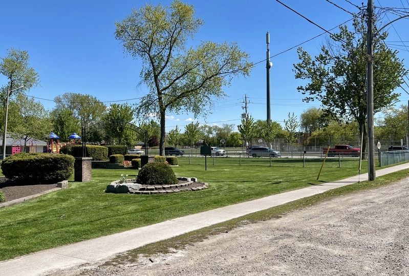
3. The Founding of Belle River / La Fondation de Belle Rivière Marker
Facing south
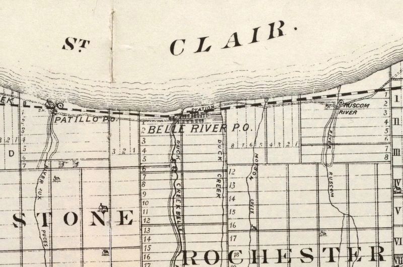
4. Belle River and area in 1882
Source: University of Windsor (public domain)
Credits. This page was last revised on May 17, 2026. It was originally submitted on May 17, 2026, by Tim Boyd of Hamilton, Ontario. This page has been viewed 26 times since then. Photos: 1, 2, 3, 4. submitted on May 17, 2026, by Tim Boyd of Hamilton, Ontario. • Andrew Ruppenstein was the editor who published this page.
