Near Belle River in Essex County, Ontario — Central Canada (North America)
First Baptist Church, Puce
⎯⎯⎯
Première Église Baptiste de Puce
Photographed by Tim Boyd, May 14, 2026
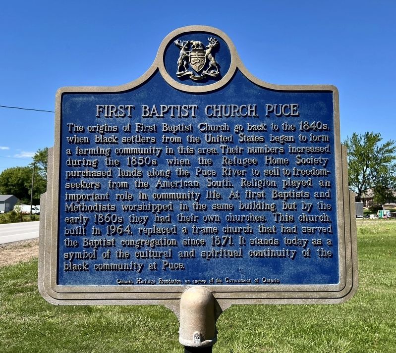
1. First Baptist Church, Puce side of marker

The origins of First Baptist Church go back to the 1840s, when black settlers from the United States began to form a farming community in this area. Their numbers increased during the 1850s when the Refugee Home Society purchased lands along the Puce River to sell to freedom-seekers from the American South. Religion played an important role in community life. At first Baptists and Methodists worshipped in the same building but by the early 1860s they had their own churches. This church, built in 1964, replaced a frame church that had served the Baptist congregation since 1871. It stands today as a symbol of the cultural and spiritual continuity of the black community at Puce.
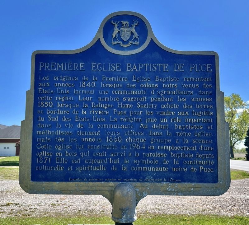
Les origines de la Première Eglise Baptiste remontent aux années 1840, lorsque des colons noirs venus des Etats-Unis forment une communauté d'agriculteurs dans cette region. Leur nombre s'accroît pendant les années 1850, lorsque la Refugee Home Society achète des terres en bordure de la rivière Puce pour les vendre aux fugitifs du Sud des États-Unis. La religion
this page online
Erected by Ontario Heritage Foundation.
Topics and series. This historical marker is listed in these topic lists: African Americans • Charity & Public Work • Religion & Religious Structures. In addition, it is included in the Canada, Ontario Heritage Trust series list. A significant historical year for this entry is 1964.
Location. 42° 16.314′ N, 82° 47.142′ W. Marker is near Belle River, Ontario, in Essex County. It is on Puce Road 0.6 kilometers south of County Road 42, on the left when traveling south. Touch for map. Marker is at or near this postal address: 710 Puce Rd, Belle River ON N8M 2X7, Canada. Touch for directions.

Regionally, this marker is in the Southwest Ontario Area and in Southwestern
Photographed by Tim Boyd, May 14, 2026
2. Première Église Baptiste de Puce side of marker
Other nearby markers. At least 8 other markers are within 16 kilometers of this marker, measured as the crow flies: Puce River Black Community (approx. 0.9 kilometers away); The Founding of Belle River / La Fondation de Belle-Rivière (approx. 6.5 kilometers away); The Banwell Road Area Black Settlement (approx. 9.2 kilometers away); Essex Terminal Railway Caboose (approx. 11 kilometers away); Essex Railway Station (approx. 11 kilometers away); Pelee Passage Lighthouse (approx. 14.1 kilometers away); Fox Indian Massacre (approx. 15.4 kilometers away in the U.S.); Russell A. Alger House "The Moorings" (approx. 15.8 kilometers away in the U.S.). Touch for a list and map of all markers in Belle River.
Photographed by Tim Boyd, May 14, 2026
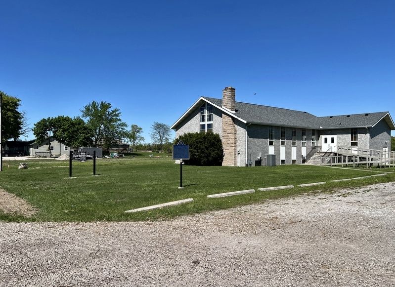
3. First Baptist Church, Puce / Première Église Baptiste de Puce Marker
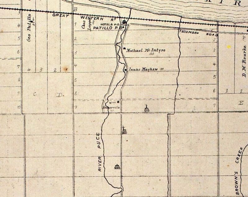
4. Puce River area, 1882, showing the location of First Baptist Church
Wikimedia Commons (public domain)
Credits. This page was last revised on May 17, 2026. It was originally submitted on May 17, 2026, by Tim Boyd of Hamilton, Ontario. This page has been viewed 18 times since then. Photos: 1, 2, 3, 4. submitted on May 17, 2026, by Tim Boyd of Hamilton, Ontario. • Andrew Ruppenstein was the editor who published this page.
