Near Columbia City in Whitley County, Indiana — The American Midwest (Great Lakes)
The Island
Inscription.
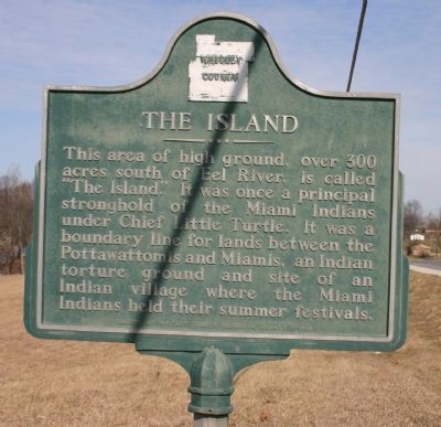
This area of high ground, over 300 acres south of the Eel River, is called "The Island". It was once a principal stronghold of the Miami Indians under Chief Little Turtle. It was a boundary line for lands between the Pottawattomis and Miamis, an indian torture ground and site of an Indian village where the Miami Indians held their summer festivals.
Erected by Whitley County.
Topics. This historical marker is listed in this topic list: Native Americans.
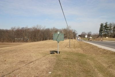
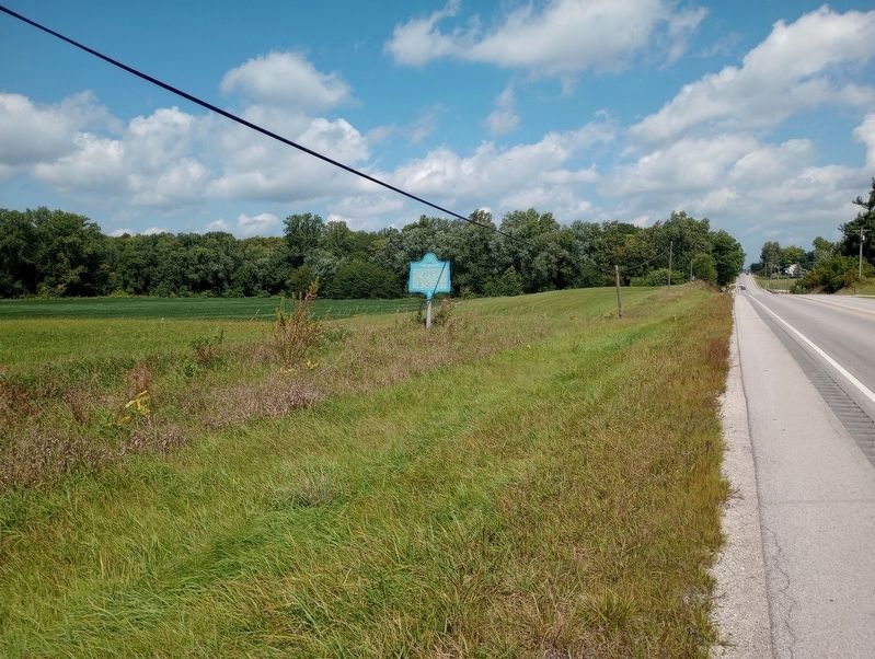
Location. 41° 7.436′ N, 85° 28.881′ W. Marker is near Columbia City, Indiana, in Whitley County. Marker is on State Road 9, 3.4 miles north of State Road 14, on the left when traveling north. Location is south of Columbia City. Touch for map. Marker is in this post office area: Columbia City IN 46725, United States of America. Touch for directions.
Other nearby markers. At least 8 other markers are within 3 miles of this marker, measured as the crow flies. Eel River Battlefield (approx. 1.6 miles away); MJL Columbia City Historical Mural (approx. 2.3 miles away); Whitley County Courthouse (approx. 2.3 miles away); Whitley County Civil War Memorial (approx. 2.3 miles away); Whitley County (approx. 2.3 miles away); Whitley County Korean War Memorial (approx. 2.3 miles away); Yontz Grocery (approx. 2.3 miles away); Thomas Riley Marshall (approx. 2.3 miles away). Touch for a list and map of all markers in Columbia City.
Also see . . . Wikipedia entry for Chief Little Turtle. (Submitted on April 23, 2010.)
Credits. This page was last revised on September 16, 2023. It was originally submitted on April 22, 2010, by Dave Zollinger of Goshen, Indiana. This page has been viewed 2,330 times since then and 95 times this year. Photos: 1, 2. submitted on April 22, 2010, by Dave Zollinger of Goshen, Indiana. 3. submitted on September 7, 2023, by Craig Doda of Napoleon, Ohio. • Kevin W. was the editor who published this page.


